Bradley House, Flat 59, Raymouth Road, Southwark, London, SE16 2DN
About Bradley House
Bradley House is an end-of-terrace house in Southwark, London, London (SE16 2DN). It has a recorded floor area of 66 m² (around 710 sq ft), construction records dating it to 1950-1966 and council tax band B. At 66 m² this is the 34th smallest of 38 units on EPC record in Bradley House, where floor areas span 48–66 m². The building's EPC ratings span D to C, with this unit at the top. The latest certificate (July 2015) shows a C (score 78), near the top of the C band. The latest certificate is from July 2015, so improvements made since then won't be reflected.
Know exactly what you're buying at Bradley House
Before you offer, see what the listing won't tell you, the true value, the red flags and the full history.
Already flagged here
Launch offer · save £5
Valuation
against the asking price
Risks
planning & flood
Sold prices
similar homes nearby
Trends
the local market
Energy performance
Bradley House's carbon output is low for the local stock.
EPC Expired
This certificate is over 10 years old and is no longer valid.Expired 08 Jul 2025
EPC Rating
Planning history
Bradley House has no planning applications on record.
Notable planning nearby
8applications of note in the surrounding area
We flagged 2 things worth checking at Bradley House
Independent checks surfaced things a buyer would want to understand before offering. The report explains each one in full, with the underlying data and what to ask.
- Signs of HMO activity in the area
- Larger development activity nearby
30-day money-back guarantee
Sales history & valuation
Bradley House has no Land Registry sales on file, suggesting it has stayed in the same hands since registration began.
£332,000
Modelled from EPC, postcode comparables.
No sales recorded with HM Land Registry
That can mean the property has never traded since the registry began publishing in 1995, was a new build that hasn't been registered yet, or is held in the same hands long-term.
Median price across the last 5 sales in SE16 2DN: £199,950 (2018–2006).
Nearby sales in SE16 2DN
Bradley House, Flat 66, Raymouth Road, Southwark, London, SE16 2DN
Sold May 2018
£340,000Bradley House, Flat 63, Raymouth Road, Southwark, London, SE16 2DN
Sold May 2017
£300,000Bradley House, Flat 70, Raymouth Road, Southwark, London, SE16 2DN
Sold Nov 2006
£168,000Bradley House, Flat 49, Raymouth Road, Southwark, London, SE16 2DN
Sold Sept 2006
£145,000Bradley House, Flat 48, Raymouth Road, Southwark, London, SE16 2DN
Sold Jul 2006
£147,000
Everything we know about Bradley House, in one report
What it's really worth, what could be wrong, and the planning, sales and area data in full.
What we flagged
- Signs of HMO activity in the area
- Larger development activity nearby

Versus other Raymouth Road homes
Bradley House outperforms the street on floor area by a wide margin.
EPC Rating
78 (C)
Street avg 75 (C)
Floor Area
66 m²
Street avg 60 m²
CO₂ Emissions
1.5 t/year
Street avg 1.7 t/year
Habitable Rooms
3 rooms
Street avg 3 rooms
Similar properties nearby
17 Holly Tree Apartments, Layard Road, Southwark
SE16 2JQ
1 Holly Tree Apartments, Layard Road, Southwark
SE16 2JQ
174a, Flat 2, Lower Road
SE16 2UN
184a, Flat 1, Lower Road
SE16 2UN
174a, Flat 5, Lower Road
SE16 2UN
174a, Flat 6, Lower Road
SE16 2UN
184a, Flat 3, Lower Road
SE16 2UN
174a, Flat 3, Lower Road
SE16 2UN
The neighbourhood at a glance
Rail-style transport is unusually close for this postcode.
Crime
5/mo
Rising year-on-year across the wider district.
Nearest stop
0.1 km
Raymouth Road — bus stop.
Closest school
0.2 km
Southwark Park Primary School. 97 schools nearby.
Go deeper on the local area
The full report breaks down crime, transport links, schools and air quality in depth.
Road noise across the postcode
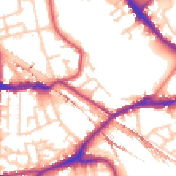
Daytime· 07:00 – 23:00
54.9dB

Night-time· 23:00 – 07:00
45.0dB