31b, Amott Road, London, SE15 4HU
About 31b
31b is an end-of-terrace house in London (SE15 4HU). It has a recorded floor area of 102 m² (around 1098 sq ft), construction records dating it to 1900-1929 and council tax band C. The latest certificate (December 2018) shows a D (score 62), on the cusp of jumping into the C band.
Across 2001–2015, sale prices on this property compounded at 1.1% per year. Today's modelled estimate of £472,000 sits 221.1% above the 2015 sale of £147,000. On a £-per-square-foot basis, the last sale (£134/sq ft) was about 69.8% below the postcode norm. 11 years since the last transfer (April 2015). Across the public record there are 5 sales, relatively high churn for a single property. At 102 m² it's 15.9% larger than the typical home in the postcode (88 m² median across 19 EPCs).
Know exactly what you're buying at 31b
Before you offer, see what the listing won't tell you, the true value, the red flags and the full history.
Already flagged here
Launch offer · save £5
Valuation
against the asking price
Risks
planning & flood
Sold prices
similar homes nearby
Trends
the local market
Energy performance
EPC Rating
Planning history
31b has no planning applications on record.
Notable planning nearby
5applications of note in the surrounding area
We flagged 1 thing worth checking at 31b
Independent checks surfaced things a buyer would want to understand before offering. The report explains each one in full, with the underlying data and what to ask.
- Larger development activity nearby
30-day money-back guarantee
Sales history & valuation
31b's estimated value is more than triple its earliest registered sale price (2001).
£472,000
Modelled from EPC, postcode comparables and a sale-price growth of 1.1% per year over 14 years.
£147,000
Growth on file: 1.1% per year over 14 years.
Sales timeline
23 April 2015Most recent
£147,000
-48.0%over 7 years26 April 2007
£282,500
+22.6%over 2 years7 April 2005
£230,500
+28.8%over 1 year23 January 2004
£179,000
+40.9%over 2 years25 April 2001
£127,000
Median price across the last 5 sales in SE15 4HU: £847,000 (2025–2023).
Nearby sales in SE15 4HU
9 Amott Road, Southwark, London, SE15 4HU
Sold Jul 2025
£1,125,00039 Amott Road, Southwark, London, SE15 4HU
Sold Jul 2025
£847,00027 Amott Road, Southwark, London, SE15 4HU
Sold Apr 2024
£1,240,00031a, Amott Road, London, SE15 4HU
Sold Jan 2024
£585,00043b, Amott Road, Southwark, London, SE15 4HU
Sold May 2023
£550,000
Everything we know about 31b, in one report
What it's really worth, what could be wrong, and the planning, sales and area data in full.
What we flagged
- Larger development activity nearby

Versus other Amott Road homes
On floor area, 31b stands well clear of the street.
Price per m²
£1,441
Street avg £5,498
Floor Area
102 m²
Street avg 63 m²
Habitable Rooms
4 rooms
Street avg 3 rooms
CO₂ Emissions
4.2 t/year
Street avg 2.6 t/year
Similar properties nearby
1 Hinckley Road, Southwark
SE15 4HZ
1 Mcdermott Road, Southwark
SE15 4NZ
1 Kapuvar Close, Southwark
SE15 4SH
1 Birch Close, Southwark
SE15 4UG
1 Almond Close, Southwark
SE15 4UH
1 Hazel Close, Southwark
SE15 4UF
1 Copleston Mews, Southwark
SE15 4PR
1 Adys Road, Southwark
SE15 4DX
The neighbourhood at a glance
Rail-style transport is unusually close for this postcode.
Crime
11/mo
Rising year-on-year across the wider district.
Nearest stop
0.2 km
Oakhurst Grove — bus stop.
Closest school
0.1 km
St John's and St Clement's Church of England Primary School. 76 schools nearby.
Go deeper on the local area
The full report breaks down crime, transport links, schools and air quality in depth.
Road noise across the postcode
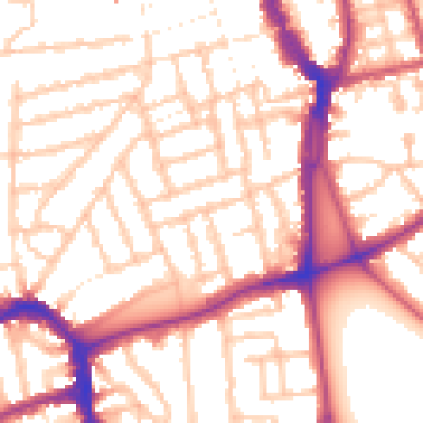
Daytime· 07:00 – 23:00
54.2dB

Night-time· 23:00 – 07:00
44.1dB