13 Amott Road, Southwark, London, SE15 4HU
About 13 Amott Road
13 Amott Road is a three-bedroom mid-terrace house in Southwark, London, London (SE15 4HU). It has a recorded floor area of 121 m² (around 1302 sq ft), construction records dating it to 1900-1929 and council tax band D. The latest certificate (September 2021) shows a C (score 71). When first surveyed in March 2016 the rating was E, the property has climbed 2 bands since. Between certificates, roof efficiency went from Very Poor to Average and lighting went from Average to Very Good. The recommended improvements would push it to B (score 84).
At 121 m² the property is well over the postcode median (88 m² across 19 EPCs), placing it in the larger end of the local stock. Its energy rating outperforms most of the postcode (better than 74% of similar EPCs). One planning record on file: an extension approved in 2017. Past consents include an extension, meaningful when judging how the property has evolved. Across 2016–2022, sale prices on this property compounded at 8.5% per year. On a £-per-square-foot basis, the last sale (£994/sq ft) was about 169.3% above the typical sold price in the postcode. Last sale on file: £1,295,000 in July 2022. That sale was during the post-pandemic price surge, when transactions cleared materially above pre-2020 trend.
Know exactly what you're buying at 13 Amott Road
Before you offer, see what the listing won't tell you, the true value, the red flags and the full history.
Already flagged here
Launch offer · save £5
Valuation
against the asking price
Risks
planning & flood
Sold prices
similar homes nearby
Trends
the local market
What this property has
Inside
- Bedrooms3
- Bathrooms2
Energy performance
EPC Rating
Property Improvements
Changes detected from historical EPC data
Heating controls changed
Roof insulation improved
More low energy lighting installed
Planning history
13 Amott Road has an approved single-storey side and rear extension on the planning record.
- Apr 2017ExtensionFullIn report
Extension: Single storey · Side and rear of property
Construction of a single storey side and rear extension. Including strip rooflights along the boundary edge.
- Documents
- 2 docs on file
- Reference
- 17/AP/0626
We flagged 1 thing worth checking at 13 Amott Road
Independent checks surfaced things a buyer would want to understand before offering. The report explains each one in full, with the underlying data and what to ask.
- Larger development activity nearby
30-day money-back guarantee
Sales history & valuation
Latest sale on 13 Amott Road was the highest on Land Registry record across the postcode.
£1,223,000
Modelled from EPC, postcode comparables and a sale-price growth of 8.5% per year over 6 years.
£1,295,000
Growth on file: 8.5% per year over 6 years.
Sales timeline
13 July 2022Most recent
£1,295,000
+61.9%over 5 years25 August 2016
£800,000
Median price across the last 5 sales in SE15 4HU: £847,000 (2025–2023).
Nearby sales in SE15 4HU
9 Amott Road, Southwark, London, SE15 4HU
Sold Jul 2025
£1,125,00039 Amott Road, Southwark, London, SE15 4HU
Sold Jul 2025
£847,00027 Amott Road, Southwark, London, SE15 4HU
Sold Apr 2024
£1,240,00031a, Amott Road, London, SE15 4HU
Sold Jan 2024
£585,00043b, Amott Road, Southwark, London, SE15 4HU
Sold May 2023
£550,000
Everything we know about 13 Amott Road, in one report
What it's really worth, what could be wrong, and the planning, sales and area data in full.
What we flagged
- Larger development activity nearby

Versus other Amott Road homes
13 Amott Road outperforms the street on price per m² by a wide margin.
Price per m²
£10,702
Street avg £8,292
Floor Area
121 m²
Street avg 123 m²
Habitable Rooms
5 rooms
Street avg 6 rooms
CO₂ Emissions
3.5 t/year
Street avg 5.2 t/year
Similar properties nearby
1 Ashleigh Mews, Southwark
SE15 4BF
1 Amott Road, Southwark
SE15 4HU
1 Chadwick Road, Southwark
SE15 4RA
1 Fenwick Grove, Southwark
SE15 4HT
1 Nigel Road, Southwark
SE15 4NP
1 Adys Road, Southwark
SE15 4DX
1 Hazel Close, Southwark
SE15 4UF
1 Muschamp Road, Southwark
SE15 4EG
The neighbourhood at a glance
Rail-style transport is unusually close for this postcode.
Crime
11/mo
Rising year-on-year across the wider district.
Nearest stop
0.2 km
Oakhurst Grove — bus stop.
Closest school
0.1 km
St John's and St Clement's Church of England Primary School. 76 schools nearby.
Go deeper on the local area
The full report breaks down crime, transport links, schools and air quality in depth.
Road noise across the postcode
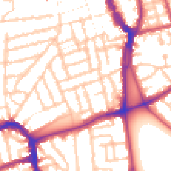
Daytime· 07:00 – 23:00
54.2dB

Night-time· 23:00 – 07:00
44.1dB