23 Carden Road, Southwark, London, SE15 3UB
About 23 Carden Road
23 Carden Road is a property in Southwark, London, London (SE15 3UB). It has council tax band E.
It hasn't traded since October 1997, a hold of 29 years that's notably long for the area. Only one transfer is on record with HM Land Registry, suggesting it has stayed in the same hands for a long time. 4 planning records sit against the property, 2 approved, 0 refused. Past consents include tree works, meaningful when judging how the property has evolved. The record references conservation-area consent, which constrain future alterations.
Know exactly what you're buying at 23 Carden Road
Before you offer, see what the listing won't tell you, the true value, the red flags and the full history.
Already flagged here
Launch offer · save £5
Valuation
against the asking price
Risks
planning & flood
Sold prices
similar homes nearby
Trends
the local market
Energy performance
No EPC on record
This property doesn't have an Energy Performance Certificate yet. An EPC is required to sell or let — and unlocks our automated valuation.
Planning history
Planning history at 23 Carden Road is exclusively tree-management applications — typical for a property with mature trees on or near the plot.
- Jul 2025Tree WorksTreesIn report
Cherry (T1) - fell- Tree of approximately 6m in height. A native pollinator will be planted as a replacement.
- Agent
- Amber Tree Care
- Documents
- 6 docs on file
- Reference
- 25/AP/2110
- Jun 2024Tree WorksTreesIn report
Works to trees in a conservation area: T3(Cherry), T5(Mulberry) and T6(Pear) fell.
Conservation Area- Documents
- 9 docs on file
- Reference
- 24/AP/1359
We flagged 2 things worth checking at 23 Carden Road
Independent checks surfaced things a buyer would want to understand before offering. The report explains each one in full, with the underlying data and what to ask.
- Signs of HMO activity in the area
- Larger development activity nearby
30-day money-back guarantee
Sales history & valuation
23 Carden Road has been held in the same hands since before 2000.
£108,000
Recorded with HM Land Registry.
Sales timeline
29 October 1997Most recent
£108,000
Median price across the last 5 sales in SE15 3UB: £1,150,000 (2025–2020).
Nearby sales in SE15 3UB
19a, Carden Road, Southwark, London, SE15 3UB
Sold Aug 2025
£499,9991 Carden Road, Southwark, London, SE15 3UB
Sold Feb 2025
£1,150,00025 Carden Road, Southwark, London, SE15 3UB
Sold Dec 2021
£1,276,00029 Carden Road, Southwark, London, SE15 3UB
Sold Sept 2021
£1,300,00019b, Carden Road, Southwark, London, SE15 3UB
Sold Sept 2020
£591,000
Everything we know about 23 Carden Road, in one report
What it's really worth, what could be wrong, and the planning, sales and area data in full.
What we flagged
- Signs of HMO activity in the area
- Larger development activity nearby

Similar properties nearby
1 3, Flat 1, Scylla Road, Southwark
SE15 3NY
1 3, Flat 2, Scylla Road, Southwark
SE15 3NY
1 3, Flat 3, Scylla Road, Southwark
SE15 3NY
1 3, Flat 4, Scylla Road, Southwark
SE15 3NY
1 Abbotsbury Mews, Southwark
SE15 3LU
1 Athenlay Road, Southwark
SE15 3EA
1 Banfield Road, Southwark
SE15 3TX
1 Banstead Street, Southwark
SE15 3EX
The neighbourhood at a glance
Rail-style transport is unusually close for this postcode.
Crime
11/mo
Rising year-on-year across the wider district.
Nearest stop
0.1 km
Carden Road — bus stop.
Closest school
0.2 km
Rye Oak Primary School. 72 schools nearby.
Go deeper on the local area
The full report breaks down crime, transport links, schools and air quality in depth.
Road noise across the postcode
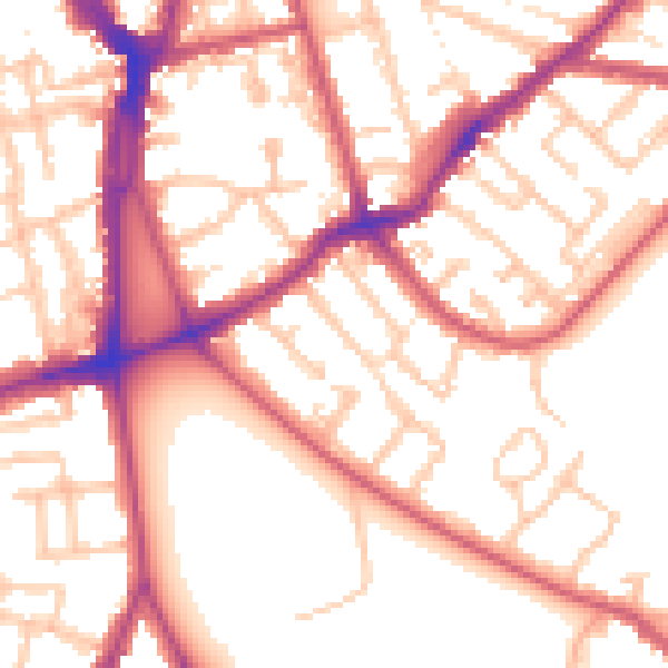
Daytime· 07:00 – 23:00
54.4dB

Night-time· 23:00 – 07:00
43.9dB