22 Croft Drive, Mapplewell, Barnsley, S75 6AN
About 22 Croft Drive
22 Croft Drive is a three-bedroom semi-detached house in Mapplewell, Barnsley, Barnsley (S75 6AN). It has a recorded floor area of 68 m² (around 732 sq ft), construction records dating it to 1996-2002 and council tax band C. The latest certificate (April 2019) shows a D (score 63), on the cusp of jumping into the C band. The recommended improvements would lift it to B (score 85), a 2-band jump. Records show the property has been extended at some point in its history.
Most recent transfer was January 2025 at £226,000 — fresh data. Across the public record there are 5 sales, relatively high churn for a single property. Across 2002–2025, sale prices on this property compounded at 4.9% per year. Today's modelled estimate of £254,000 is 12.4% above the 2025 sale price. On a £-per-square-foot basis, the last sale (£309/sq ft) was about 104.3% above the typical sold price in the postcode. At 68 m² it's 17.6% smaller than the typical home in the postcode (83 m² median across 34 EPCs).
What this property has
Inside
- Bedrooms3
- Bathrooms1
Outside
- GarageYes
Building
- Previously extendedYes
- RefurbishedYes
Everything you need to know about 22 Croft Drive
The true value, the hidden risks and the full sale history, in one report.
Pick your report · every report is £14.99
One time fee only - money back guarantee

The data behind every report


Energy performance
Recommended upgrades on file would lift this property by multiple EPC bands.
EPC Rating
Get a survey for this property
Level 2 HomeBuyer Report
We've checked 10 risk factors against the available data for this property and believe a Level 2 HomeBuyer Report could be a suitable option for you.
From £545 · Includes VAT
Planning history
22 Croft Drive has no planning applications on record.
A planning report still maps activity across the surrounding area and reads this property's extension & conversion potential.
Sales history & valuation
Sale price has at least doubled since 2002.
£254,000
Modelled from EPC, postcode comparables and a sale-price growth of 4.9% per year over 23 years.
£226,000
Growth on file: 4.9% per year over 23 years.
Sales timeline
17 January 2025Most recent
£226,000
+50.7%over 5 years18 July 2019
£150,000
+9.5%over 13 years29 June 2006
£137,000
+1.5%over 1 year5 November 2004
£134,950
+75.4%over 2 years27 May 2002
£76,950
Median price across the last 5 sales in S75 6AN: £230,000 (2025–2024).
Nearby sales in S75 6AN
29 Croft Drive, Mapplewell, Barnsley, S75 6AN
Sold Sept 2025
£320,00020 Croft Drive, Mapplewell, Barnsley, S75 6AN
Sold Jun 2025
£220,00017 Croft Drive, Mapplewell, Barnsley, S75 6AN
Sold May 2025
£280,00027 Croft Drive, Mapplewell, Barnsley, S75 6AN
Sold Nov 2024
£182,5009 Croft Drive, Mapplewell, Barnsley, S75 6AN
Sold Oct 2024
£230,000
Versus other Croft Drive homes
Price per m² for 22 Croft Drive runs comfortably ahead of the street norm.
Price per m²
£3,324
Street avg £1,979
Floor Area
68 m²
Street avg 84 m²
Habitable Rooms
5 rooms
Street avg 5 rooms
CO₂ Emissions
3.5 t/year
Street avg 3.4 t/year
Everything you need to know about 22 Croft Drive
The true value, the hidden risks and the full sale history, in one report.
Pick your report · every report is £14.99
One time fee only - money back guarantee
The data behind every report
Similar properties nearby
1 Beaulieu View, Mapplewell
S75 6FL
1 Butterton Close, Mapplewell
S75 6JE
1 Carron Drive, Mapplewell
S75 6GA
1 Bourne Court, Staincross
S75 6JB
1 Bourne Walk, Staincross
S75 6JQ
1 Eastfield Close, Staincross
S75 6DW
1 Croft Drive, Mapplewell
S75 6AN
1 Croft Close, Mapplewell
S75 6FN
The neighbourhood at a glance
Crime
2/mo
Steady year-on-year across the wider district.
Nearest stop
0.2 km
Darton Lane/Longlands Drive — bus stop.
Closest school
0.4 km
Wellgate Primary School. 10 schools nearby.
Go deeper on the local area
A Local Area report breaks down crime, transport links, schools and air quality in depth.
Road noise across the postcode
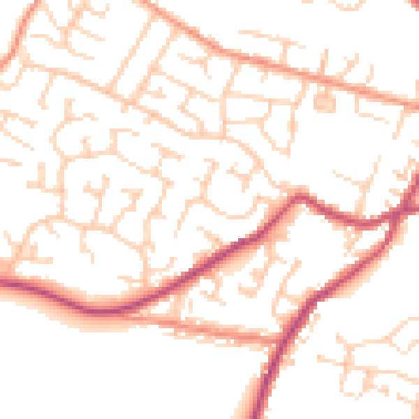
Daytime· 07:00 – 23:00
51.1dB

Night-time· 23:00 – 07:00
40.8dB