19 Blenheim Road, Barnsley, S70 6BA
About 19 Blenheim Road
19 Blenheim Road is a three-bedroom semi-detached house in Barnsley (S70 6BA). It has a recorded floor area of 102 m² (around 1098 sq ft), construction records dating it to 1900-1929 and council tax band B. The latest certificate (February 2012) shows an F (score 25), near the bottom of the EPC scale. The rating has held steady at F across 2 certificates since July 2011. Between certificates, lighting went from Average to Good; while roof efficiency dropped from Average to Very Poor and hot-water efficiency dropped from Poor to Very Poor. The recommended improvements would push it to E (score 44). The latest certificate is from February 2012, so improvements made since then won't be reflected. Records show the property has been extended at some point in its history.
At 102 m² the property is well over the postcode median (77 m² across 34 EPCs), placing it in the larger end of the local stock. On energy efficiency it sits in the bottom 10% of properties in this postcode — significant headroom for improvement. Last sale on file: £130,000 in July 2020. Across the public record there are 5 sales, relatively high churn for a single property. One planning record on file: an extension approved in 2017. Past consents include an extension, meaningful when judging how the property has evolved. Today's modelled estimate of £192,000 is 47.7% above the 2020 sale price. On a £-per-square-foot basis, the last sale (£118/sq ft) was about 29.7% above the typical sold price in the postcode.
Know exactly what you're buying at 19 Blenheim Road
Before you offer, see what the listing won't tell you, the true value, the red flags and the full history.
Already flagged here
Valuation
against the asking price
Risks
planning & flood
Sold prices
similar homes nearby
Trends
the local market
What this property has
Inside
- Bedrooms3
- Bathrooms1
- Dining roomYes
Building
- Previously extendedYes
Energy performance
19 Blenheim Road sits at the bottom of the postcode for energy efficiency — meaningful headroom to improve.
EPC Expired
This certificate is over 10 years old and is no longer valid.Expired 20 Feb 2022
EPC Rating
Planning history
Council records include a two-storey rear extension at 19 Blenheim Road.
- Dec 2017ExtensionFullIn report
Extension: Two storey · Rear of property
Erection of two storey rear extension to dwelling.
- Documents
- 3 docs on file
- Reference
- 2017/1448
We flagged 1 thing worth checking at 19 Blenheim Road
Independent checks surfaced things a buyer would want to understand before offering. The report explains each one in full, with the underlying data and what to ask.
- Signs of HMO activity in the area
30-day money-back guarantee
Sales history & valuation
19 Blenheim Road has changed hands more often than typical for the area.
£192,000
Modelled from EPC, postcode comparables and a sale-price growth of 0.1% per year over 15 years.
£130,000
Growth on file: 0.1% per year over 15 years.
Sales timeline
19 July 2020Most recent
£130,000
+2.0%over 3 years24 February 2017
£127,500
+21.4%over 4 years11 July 2012
£105,000
-11.8%over 6 years6 October 2005
£119,000
-6.7%25 August 2005
£127,500
Median price across the last 5 sales in S70 6BA: £137,500 (2025–2021).
Nearby sales in S70 6BA
Everything we know about 19 Blenheim Road, in one report
What it's really worth, what could be wrong, and the planning, sales and area data in full.
What we flagged
- Signs of HMO activity in the area

Versus other Blenheim Road homes
On epc rating, 19 Blenheim Road runs well behind the street norm.
Price per m²
£1,275
Street avg £1,114
Floor Area
102 m²
Street avg 78 m²
Habitable Rooms
8 rooms
Street avg 5 rooms
CO₂ Emissions
12.0 t/year
Street avg 4.3 t/year
Similar properties nearby
1 Cornfall Place
S70 6BW
1 Blenheim Gardens
S70 6JU
1 Clarendon Street
S70 6AH
1 Bailey Croft
S70 6DG
1 Blenheim Road
S70 6BA
1 Bradbury Street
S70 6AQ
1 Ashram Court
S70 6BL
1 Crompton Avenue
S70 6LE
The neighbourhood at a glance
Reported crime in the wider district is trending notably upward year-on-year.
Crime
5/mo
Rising year-on-year across the wider district.
Nearest stop
0.2 km
Racecommon Road/Grafton Street — bus stop.
Closest school
0.4 km
Shawlands Primary School. 21 schools nearby.
Go deeper on the local area
The full report breaks down crime, transport links, schools and air quality in depth.
Road noise across the postcode
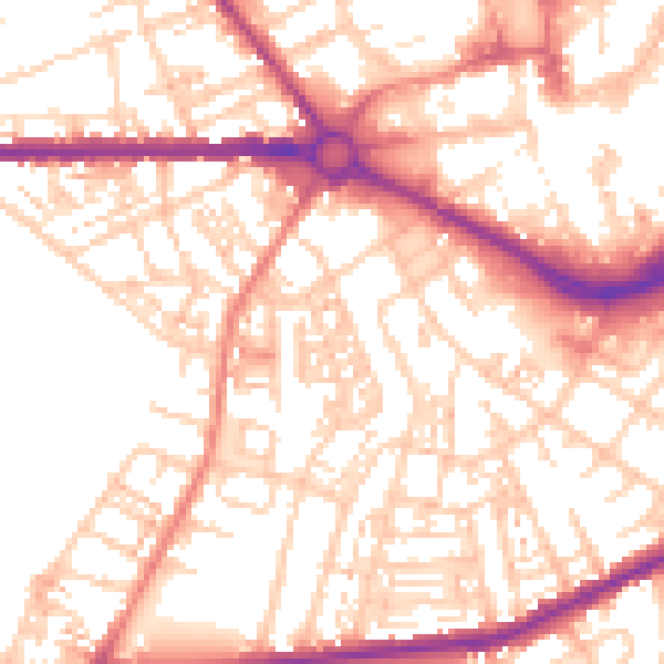
Daytime· 07:00 – 23:00
54.6dB

Night-time· 23:00 – 07:00
43.3dB