11 Blenheim Grove, Barnsley, S70 6AY
About 11 Blenheim Grove
11 Blenheim Grove is a two-bedroom end-of-terrace house in Barnsley (S70 6AY). It has a recorded floor area of 61 m² (around 660 sq ft), construction records dating it to before 1900 and council tax band A. The latest certificate (September 2011) shows a D (score 56), a step below the typical UK home. The latest certificate is from September 2011, so improvements made since then won't be reflected.
It hasn't traded since August 2000, a hold of 26 years that's notably long for the area. Only one transfer is on record with HM Land Registry, suggesting it has stayed in the same hands for a long time. Today's modelled estimate of £125,000 sits 401% above the 2000 sale of £24,950. On a £-per-square-foot basis, the last sale (£38/sq ft) was about 66.2% below the postcode norm.
Know exactly what you're buying at 11 Blenheim Grove
Before you offer, see what the listing won't tell you, the true value, the red flags and the full history.
Already flagged here
Valuation
against the asking price
Risks
planning & flood
Sold prices
similar homes nearby
Trends
the local market
What this property has
Inside
- Bedrooms2
- Bathrooms1
Outside
- Private gardenYes
Building
- RefurbishedYes
Energy performance
11 Blenheim Grove's EPC is over a decade old — improvements since won't be reflected.
EPC Expired
This certificate is over 10 years old and is no longer valid.Expired 25 Sept 2021
EPC Rating
Planning history
11 Blenheim Grove has no planning applications on record.
Notable planning nearby
9applications of note in the surrounding area
We flagged 1 thing worth checking at 11 Blenheim Grove
Independent checks surfaced things a buyer would want to understand before offering. The report explains each one in full, with the underlying data and what to ask.
- Signs of HMO activity in the area
30-day money-back guarantee
Sales history & valuation
11 Blenheim Grove's modelled value sits at over four times its earliest registered sale price (2000).
£125,000
Modelled from EPC, postcode comparables.
£24,950
Recorded with HM Land Registry.
Sales timeline
30 August 2000Most recent
£24,950
Median price across the last 5 sales in S70 6AY: £87,000 (2025–2019).
Everything we know about 11 Blenheim Grove, in one report
What it's really worth, what could be wrong, and the planning, sales and area data in full.
What we flagged
- Signs of HMO activity in the area

Versus other Blenheim Grove homes
11 Blenheim Grove is notably below the street on price per m².
Price per m²
£407
Street avg £1,429
Floor Area
61 m²
Street avg 58 m²
Habitable Rooms
4 rooms
Street avg 4 rooms
CO₂ Emissions
3.7 t/year
Street avg 3.3 t/year
Similar properties nearby
1 Blenheim Road
S70 6BA
1 Bradbury Street
S70 6AQ
1 Bailey Croft
S70 6DG
1 Ashram Court
S70 6BL
1 Crompton Avenue
S70 6LE
1 Clarendon Street
S70 6AH
1 Cornfall Place
S70 6BW
1 Blenheim Gardens
S70 6JU
The neighbourhood at a glance
Reported crime in the wider district is trending notably upward year-on-year.
Crime
5/mo
Rising year-on-year across the wider district.
Nearest stop
0.2 km
Racecommon Road/Raley Street — bus stop.
Closest school
0.4 km
Shawlands Primary School. 21 schools nearby.
Go deeper on the local area
The full report breaks down crime, transport links, schools and air quality in depth.
Road noise across the postcode
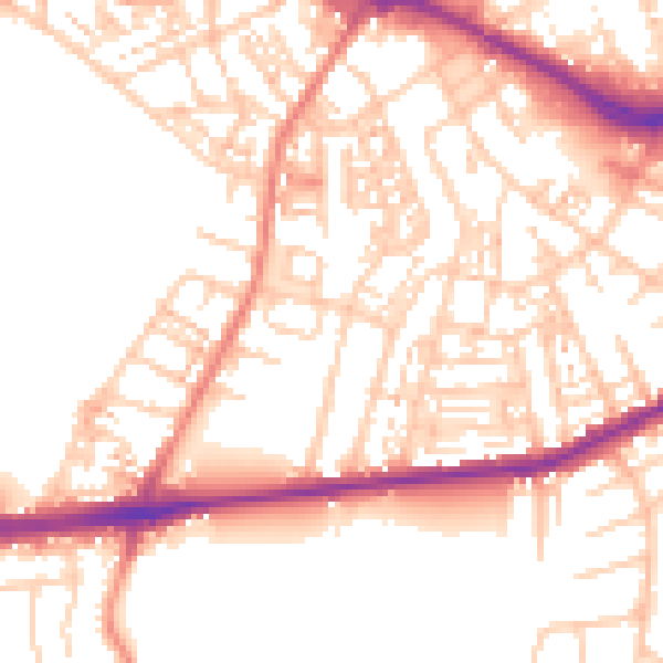
Daytime· 07:00 – 23:00
53.2dB

Night-time· 23:00 – 07:00
42.4dB