12a, Coltfield, Birdwell, Barnsley, S70 5RH
About 12a
12a is a detached house in Birdwell, Barnsley, Barnsley (S70 5RH). It has a recorded floor area of 82 m² (around 883 sq ft). The latest certificate (October 2018) returns a B (score 83), comfortably above the UK average. The recommended improvements would push it to A (score 94).
At 82 m² it's 15.3% larger than the typical home in the postcode (71 m² median across 10 EPCs). On energy efficiency it sits in the top 10% of properties in this postcode. One planning record on file: an extension approved in 2022. Past consents include an extension, meaningful when judging how the property has evolved. Today's modelled estimate of £251,000 is 39.5% above the 2018 sale price. On a £-per-square-foot basis, the last sale (£204/sq ft) was about 55.8% above the typical sold price in the postcode. Last sale on file: £179,950 in November 2018.
Know exactly what you're buying at 12a
Before you offer, see what the listing won't tell you, the true value, the red flags and the full history.
Already flagged here
Valuation
against the asking price
Risks
planning & flood
Sold prices
similar homes nearby
Trends
the local market
Energy performance
12a ranks among the most efficient homes in the postcode for energy use.
EPC Rating
Planning history
12a has an approved single-storey rear extension on the planning record.
- Feb 2022ExtensionFullIn report
Extension: Single storey · Rear of property
Erection of single storey rear extension to dwelling
- Documents
- 14 docs on file
- Reference
- 2021/1629
We flagged 1 thing worth checking at 12a
Independent checks surfaced things a buyer would want to understand before offering. The report explains each one in full, with the underlying data and what to ask.
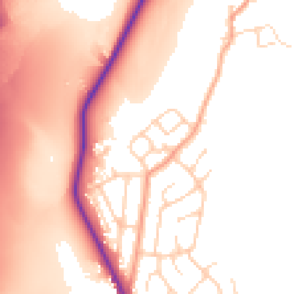
- Larger development activity nearby
30-day money-back guarantee
Sales history & valuation
Latest sale on 12a was the highest on Land Registry record across the postcode.
£251,000
Modelled from EPC, postcode comparables.
£179,950
Recorded with HM Land Registry.
Sales timeline
30 November 2018Most recent
£179,950
Median price across the last 5 sales in S70 5RH: £100,000 (2021–2014).
Nearby sales in S70 5RH
10 Coltfield, Birdwell, Barnsley, S70 5RH
Sold May 2021
£130,0006 Coltfield, Birdwell, Barnsley, S70 5RH
Sold Oct 2019
£122,50012 Coltfield, Birdwell, Barnsley, S70 5RH
Sold Oct 2016
£75,0009 Coltfield, Birdwell, Barnsley, S70 5RH
Sold May 2007
£107,5008 Coltfield, Birdwell, Barnsley, S70 5RH
Sold Feb 2005
£85,000
Everything we know about 12a, in one report
What it's really worth, what could be wrong, and the planning, sales and area data in full.
What we flagged
- Larger development activity nearby

Versus other Coltfield homes
Price per m² for 12a runs comfortably ahead of the street norm.
Price per m²
£2,195
Street avg £1,517
Floor Area
82 m²
Street avg 71 m²
CO₂ Emissions
1.5 t/year
Street avg 3.8 t/year
Years Held
8 years
Street avg 10 years
Similar properties nearby
1 Bellmer Croft, Birdwell
S70 5SR
1 Berkley Close, Worsbrough
S70 5JG
1 Bowland Crescent, Worsbrough
S70 5JS
1 Briar Rise, Worsbrough
S70 5JR
1 Bourne Road, Worsbrough
S70 5JP
1 Bell Bank View, Worsbrough
S70 5HS
1 Carrwood Grove, Worsbrough
S70 5DB
1 Carrwood Close, Worsbrough
S70 5EZ
The neighbourhood at a glance
Reported crime in the wider district is trending notably upward year-on-year.
Crime
5/mo
Rising year-on-year across the wider district.
Nearest stop
0.1 km
Balk Lane/Worsbrough Road — bus stop.
Closest school
0.7 km
Birdwell Primary School. 12 schools nearby.
Go deeper on the local area
The full report breaks down crime, transport links, schools and air quality in depth.
Road noise across the postcode
Daytime· 07:00 – 23:00
53.3dB
Night-time· 23:00 – 07:00
45.3dB