16 James Street, Worsbrough Dale, Barnsley, S70 4SL
About 16 James Street
16 James Street is a three-bedroom mid-terrace house in Worsbrough Dale, Barnsley, Barnsley (S70 4SL). It has a recorded floor area of 65 m² (around 703 sq ft), construction records dating it to 1900-1929 and council tax band A. The latest certificate (December 2011) shows an F (score 33), near the bottom of the EPC scale. The rating has held steady at F across 2 certificates since April 2010. Between certificates, lighting went from Poor to Average and main heating went from Average to Good; while wall efficiency dropped from Average to Very Poor and roof efficiency dropped from Poor to Very Poor. The recommended improvements would lift it to D (score 56), a 2-band jump. The latest certificate is from December 2011, so improvements made since then won't be reflected.
At 65 m² it's 21.3% smaller than the typical home in the postcode (83 m² median across 37 EPCs). On energy efficiency it sits in the bottom 10% of properties in this postcode — significant headroom for improvement. Most recent transfer: November 2021 at £100,000. Across the public record there are 5 sales, relatively high churn for a single property. That sale was during the post-pandemic price surge, when transactions cleared materially above pre-2020 trend. Across 1998–2021, sale prices on this property compounded at 7.8% per year. Today's modelled estimate of £126,000 is 26% above the 2021 sale price. On a £-per-square-foot basis, the last sale (£142/sq ft) was about 129.9% above the typical sold price in the postcode.
Know exactly what you're buying at 16 James Street
Before you offer, see what the listing won't tell you, the true value, the red flags and the full history.
Already flagged here
Valuation
against the asking price
Risks
planning & flood
Sold prices
similar homes nearby
Trends
the local market
What this property has
Inside
- Bedrooms3
- Bathrooms2
Energy performance
16 James Street sits at the bottom of the postcode for energy efficiency — meaningful headroom to improve.
EPC Expired
This certificate is over 10 years old and is no longer valid.Expired 11 Dec 2021
EPC Rating
Property Improvements
Changes detected from historical EPC data
Windows upgraded, improving insulation
More low energy lighting installed
Planning history
16 James Street has no planning applications on record.
Notable planning nearby
7applications of note in the surrounding area
We flagged 2 things worth checking at 16 James Street
Independent checks surfaced things a buyer would want to understand before offering. The report explains each one in full, with the underlying data and what to ask.
- Signs of HMO activity in the area
- Larger development activity nearby
30-day money-back guarantee
Sales history & valuation
16 James Street has more than quadrupled in price since its earliest registered sale in 1998.
£126,000
Modelled from EPC, postcode comparables and a sale-price growth of 7.8% per year over 23 years.
£100,000
Growth on file: 7.8% per year over 23 years.
Sales timeline
5 November 2021Most recent
£100,000
+33.3%over 5 years28 March 2016
£75,000
+20.0%over 4 years9 March 2012
£62,500
-21.8%over 5 years16 August 2006
£79,950
+344.2%over 7 years30 November 1998
£18,000
Median price across the last 5 sales in S70 4SL: £83,000 (2025–2024).
Nearby sales in S70 4SL
41 James Street, Worsbrough Dale, Barnsley, S70 4SL
Sold Sept 2025
£99,00042 James Street, Worsbrough Dale, Barnsley, S70 4SL
Sold Aug 2025
£83,0007 James Street, Worsbrough Dale, Barnsley, S70 4SL
Sold Mar 2025
£67,50026 James Street, Worsbrough Dale, Barnsley, S70 4SL
Sold Nov 2024
£115,00013 James Street, Worsbrough Dale, Barnsley, S70 4SL
Sold Sept 2024
£90,000
Everything we know about 16 James Street, in one report
What it's really worth, what could be wrong, and the planning, sales and area data in full.
What we flagged
- Signs of HMO activity in the area
- Larger development activity nearby

Versus other James Street homes
16 James Street is notably below the street on epc rating.
Price per m²
£1,531
Street avg £825
Floor Area
65 m²
Street avg 82 m²
Habitable Rooms
4 rooms
Street avg 5 rooms
CO₂ Emissions
7.4 t/year
Street avg 4.8 t/year
Similar properties nearby
1 Aspen Gardens, Worsbrough
S70 4BT
1 Daleswood Drive, Worsbrough
S70 4RU
1 Bank End Road, Worsbrough
S70 4AF
1 Ardsley Road, Worsbrough
S70 4RN
1 Church View, Worsbrough
S70 4FB
1 Bank End Avenue, Worsbrough
S70 4QP
1 Bismarck Street
S70 4NA
1 Corporation Street
S70 4PQ
The neighbourhood at a glance
Reported crime in the wider district is trending notably upward year-on-year.
Crime
5/mo
Rising year-on-year across the wider district.
Nearest stop
0.1 km
High Street/Green Street — bus stop.
Closest school
0.5 km
Bank End Primary Academy. 11 schools nearby.
Go deeper on the local area
The full report breaks down crime, transport links, schools and air quality in depth.
Road noise across the postcode
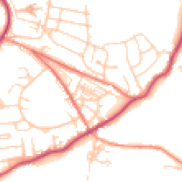
Daytime· 07:00 – 23:00
50.2dB

Night-time· 23:00 – 07:00
40.8dB