14 James Street, Worsbrough Dale, Barnsley, S70 4SL
About 14 James Street
14 James Street is a three-bedroom end-of-terrace house in Worsbrough Dale, Barnsley, Barnsley (S70 4SL). It has a recorded floor area of 87 m² (around 936 sq ft), construction records dating it to 1900-1929 and council tax band A. The latest certificate (July 2023) shows an E (score 51), well below the UK norm with real room to improve. The rating has held steady at E across 2 certificates since June 2017. Between certificates, window efficiency went from Average to Good and lighting went from Very Poor to Very Good. The recommended improvements would lift it to B (score 84), a 3-band jump. Other recorded features include a basement and a loft.
Held since October 2003 — that's 23 years off the open market, well above the local norm. Across 1996–2003, sale prices on this property compounded at 23.4% per year. Today's modelled estimate of £123,000 sits 175.2% above the 2003 sale of £44,700. On a £-per-square-foot basis, the last sale (£48/sq ft) was about 24.7% below the postcode norm.
Know exactly what you're buying at 14 James Street
Before you offer, see what the listing won't tell you, the true value, the red flags and the full history.
Already flagged here
Valuation
against the asking price
Risks
planning & flood
Sold prices
similar homes nearby
Trends
the local market
What this property has
Inside
- Bedrooms3
- Bathrooms1
- LoftYes
- BasementYes
Energy performance
14 James Street's carbon output runs well above what efficient homes in the postcode produce.
EPC Rating
Property Improvements
Changes detected from historical EPC data
Window efficiency improved
More low energy lighting installed
Planning history
14 James Street has no planning applications on record.
Notable planning nearby
7applications of note in the surrounding area
We flagged 2 things worth checking at 14 James Street
Independent checks surfaced things a buyer would want to understand before offering. The report explains each one in full, with the underlying data and what to ask.
- Signs of HMO activity in the area
- Larger development activity nearby
30-day money-back guarantee
Sales history & valuation
14 James Street has more than quadrupled in price since its earliest registered sale in 1996.
£123,000
Modelled from EPC, postcode comparables and a sale-price growth of 23.4% per year over 7 years.
£44,700
Growth on file: 23.4% per year over 7 years.
Sales timeline
19 October 2003Most recent
£44,700
+49.2%over 2 years11 October 2001
£29,950
+185.2%over 4 years29 November 1996
£10,500
Median price across the last 5 sales in S70 4SL: £83,000 (2025–2024).
Nearby sales in S70 4SL
41 James Street, Worsbrough Dale, Barnsley, S70 4SL
Sold Sept 2025
£99,00042 James Street, Worsbrough Dale, Barnsley, S70 4SL
Sold Aug 2025
£83,0007 James Street, Worsbrough Dale, Barnsley, S70 4SL
Sold Mar 2025
£67,50026 James Street, Worsbrough Dale, Barnsley, S70 4SL
Sold Nov 2024
£115,00013 James Street, Worsbrough Dale, Barnsley, S70 4SL
Sold Sept 2024
£90,000
Everything we know about 14 James Street, in one report
What it's really worth, what could be wrong, and the planning, sales and area data in full.
What we flagged
- Signs of HMO activity in the area
- Larger development activity nearby

Versus other James Street homes
14 James Street outperforms the street on years held by a wide margin.
Price per m²
£514
Street avg £853
Floor Area
87 m²
Street avg 81 m²
Habitable Rooms
5 rooms
Street avg 5 rooms
CO₂ Emissions
6.0 t/year
Street avg 4.8 t/year
Similar properties nearby
1 Aspen Gardens, Worsbrough
S70 4BT
1 Daleswood Drive, Worsbrough
S70 4RU
1 Bank End Road, Worsbrough
S70 4AF
1 Ardsley Road, Worsbrough
S70 4RN
1 Church View, Worsbrough
S70 4FB
1 Bedford Street
S70 4EH
1 Corporation Street
S70 4PQ
1 California Crescent
S70 4JX
The neighbourhood at a glance
Reported crime in the wider district is trending notably upward year-on-year.
Crime
5/mo
Rising year-on-year across the wider district.
Nearest stop
0.1 km
High Street/Green Street — bus stop.
Closest school
0.5 km
Bank End Primary Academy. 11 schools nearby.
Go deeper on the local area
The full report breaks down crime, transport links, schools and air quality in depth.
Road noise across the postcode
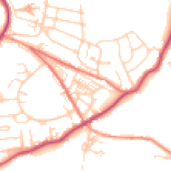
Daytime· 07:00 – 23:00
50.2dB

Night-time· 23:00 – 07:00
40.8dB