28 Bank End Road, Worsbrough, Barnsley, S70 4AF
About 28 Bank End Road
28 Bank End Road is a two-bedroom mid-terrace house in Worsbrough, Barnsley, Barnsley (S70 4AF). It has a recorded floor area of 54 m² (around 581 sq ft), construction records dating it to 1900-1929 and council tax band A. The latest certificate (August 2021) shows an E (score 42), well below the UK norm with real room to improve. The rating has held steady at E across 2 certificates since December 2010. Between certificates, main heating went from Average to Good; while roof efficiency dropped from Good to Average and hot-water efficiency dropped from Poor to Very Poor. The recommended improvements would lift it to B (score 88), a 3-band jump. Other recorded features include notable views.
Held since April 2009 — that's 17 years off the open market, well above the local norm. Across the public record there are 4 sales, relatively high churn for a single property. That sale fell during the post-crash dip, which often skews comparisons against later neighbouring sales. At 54 m² it's 28.9% smaller than the typical home in the postcode (76 m² median across 13 EPCs). It lags the bulk of the postcode on energy efficiency (less efficient than 85% of similar EPCs). Across 1998–2009, sale prices on this property compounded at 11.6% per year. Today's modelled estimate of £112,000 is 31.8% above the 2009 sale price. On a £-per-square-foot basis, the last sale (£146/sq ft) was about 108.4% above the typical sold price in the postcode.
Know exactly what you're buying at 28 Bank End Road
Before you offer, see what the listing won't tell you, the true value, the red flags and the full history.
Already flagged here
Valuation
against the asking price
Risks
planning & flood
Sold prices
similar homes nearby
Trends
the local market
What this property has
Inside
- Bedrooms2
- Utility roomYes
- FireplaceYes
Outside
- Private gardenYes
- ParkingOff road
- Notable viewsYes
Building
- Central heatingYes
Energy performance
Recommended upgrades on file would lift this property by multiple EPC bands.
EPC Rating
Planning history
28 Bank End Road has no planning applications on record.
Notable planning nearby
7applications of note in the surrounding area
We flagged 2 things worth checking at 28 Bank End Road
Independent checks surfaced things a buyer would want to understand before offering. The report explains each one in full, with the underlying data and what to ask.
- Signs of HMO activity in the area
- Larger development activity nearby
30-day money-back guarantee
Sales history & valuation
Sale price has grown by over 3x since 1998.
£112,000
Modelled from EPC, postcode comparables and a sale-price growth of 11.6% per year over 10 years.
£85,000
Growth on file: 11.6% per year over 10 years.
Sales timeline
7 April 2009Most recent
£85,000
+1.2%over 2 years8 October 2006
£84,000
+127.3%over 3 years27 November 2002
£36,950
+36.9%over 4 years30 October 1998
£27,000
Median price across the last 5 sales in S70 4AF: £100,000 (2023–2022).
Nearby sales in S70 4AF
11 Bank End Road, Worsbrough, Barnsley, S70 4AF
Sold Aug 2023
£190,00034 Bank End Road, Worsbrough, Barnsley, S70 4AF
Sold May 2023
£52,0006 Bank End Road, Worsbrough, Barnsley, S70 4AF
Sold Apr 2023
£55,0004 Bank End Road, Worsbrough, Barnsley, S70 4AF
Sold Jan 2022
£100,0009 Bank End Road, Worsbrough, Barnsley, S70 4AF
Sold Jun 2021
£104,000
Everything we know about 28 Bank End Road, in one report
What it's really worth, what could be wrong, and the planning, sales and area data in full.
What we flagged
- Signs of HMO activity in the area
- Larger development activity nearby

Versus other Bank End Road homes
28 Bank End Road outperforms the street on price per m² by a wide margin.
Price per m²
£1,574
Street avg £961
Floor Area
54 m²
Street avg 93 m²
Habitable Rooms
4 rooms
Street avg 4 rooms
CO₂ Emissions
5.3 t/year
Street avg 4.2 t/year
Similar properties nearby
The neighbourhood at a glance
Reported crime in the wider district is trending notably upward year-on-year.
Crime
5/mo
Rising year-on-year across the wider district.
Nearest stop
0.0 km
Bank End Road/High Street — bus stop.
Closest school
0.2 km
The Mill Academy. 15 schools nearby.
Go deeper on the local area
The full report breaks down crime, transport links, schools and air quality in depth.
Road noise across the postcode
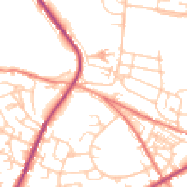
Daytime· 07:00 – 23:00
51.0dB

Night-time· 23:00 – 07:00
41.5dB