16 Calabria Grove, Barnsley, S70 3QJ
About 16 Calabria Grove
16 Calabria Grove is an end-of-terrace house in Barnsley (S70 3QJ). It has a recorded floor area of 68 m² (around 732 sq ft), construction records dating it to 2003-2006 and council tax band D. The latest certificate (September 2019) shows a C (score 71). The recommended improvements would push it to B (score 87).
Across 2004–2024, sale prices on this property compounded at 0.6% per year. Today's modelled estimate of £166,000 is 32.8% above the 2024 sale price. Most recent transfer: September 2024 at £125,000.
Know exactly what you're buying at 16 Calabria Grove
Before you offer, see what the listing won't tell you, the true value, the red flags and the full history.
Valuation
against the asking price
Risks
planning & flood
Sold prices
similar homes nearby
Trends
the local market
Energy performance
EPC Rating
Planning history
16 Calabria Grove has no planning applications on record.
The full report still covers planning activity across the surrounding area.
Sales history & valuation
16 Calabria Grove's sale-price growth has lagged the wider UK trajectory across its history on file.
£166,000
Modelled from EPC, postcode comparables and a sale-price growth of 0.6% per year over 20 years.
£125,000
Growth on file: 0.6% per year over 20 years.
Sales timeline
5 September 2024Most recent
£125,000
+12.6%over 19 years25 November 2004
£110,995
Median price across the last 5 sales in S70 3QJ: £143,000 (2024–2023).
Nearby sales in S70 3QJ
Everything we know about 16 Calabria Grove, in one report
What it's really worth, what could be wrong, and the planning, sales and area data in full.
- Am I paying too much?
- Is something wrong with it?
- Is the agent's story true?
- Will it hold its value?

Versus other Calabria Grove homes
16 Calabria Grove is notably below the street on epc rating.
Price per m²
£1,838
Street avg £1,788
Floor Area
68 m²
Street avg 81 m²
Habitable Rooms
5 rooms
Street avg 5 rooms
CO₂ Emissions
2.4 t/year
Street avg 2.3 t/year
Similar properties nearby
The neighbourhood at a glance
Reported crime in the wider district is trending notably upward year-on-year.
Crime
5/mo
Rising year-on-year across the wider district.
Nearest stop
0.1 km
Doncaster Road/Portland Street — bus stop.
Closest school
0.5 km
Oakwell Rise Primary Academy. 21 schools nearby.
Go deeper on the local area
The full report breaks down crime, transport links, schools and air quality in depth.
Road noise across the postcode
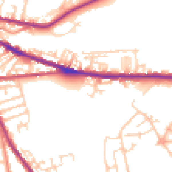
Daytime· 07:00 – 23:00
51.0dB

Night-time· 23:00 – 07:00
42.7dB