8 Blyde Road, Sheffield, S5 7AF
About 8 Blyde Road
8 Blyde Road is a mid-terrace house in Sheffield (S5 7AF). It has a recorded floor area of 65 m² (around 700 sq ft), construction records dating it to before 1900 and council tax band A. The latest certificate (October 2016) shows an E (score 48), well below the UK norm with real room to improve. The rating has held steady at E across 3 certificates since July 2016. The recommended improvements would lift it to B (score 84), a 3-band jump.
At 65 m² the property is well over the postcode median (38 m² across 8 EPCs), placing it in the larger end of the local stock. On energy efficiency it sits in the bottom 10% of properties in this postcode — significant headroom for improvement. Across 1996–2015, sale prices on this property compounded at 3.4% per year. Today's modelled estimate of £117,000 sits 192.5% above the 2015 sale of £40,000. 11 years since the last transfer (September 2015).
Everything you need to know about 8 Blyde Road
The true value, the hidden risks and the full sale history, in one report.
30-day money-back guarantee

The data behind every report


Energy performance
8 Blyde Road sits at the bottom of the postcode for energy efficiency — meaningful headroom to improve.
EPC Rating
Property Improvements
Changes detected from historical EPC data
Low energy lighting percentage decreased
Windows upgraded, improving insulation
More low energy lighting installed
Planning history
8 Blyde Road has no planning applications on record.
Notable planning nearby
2applications of note in the surrounding area
Sales history & valuation
8 Blyde Road's modelled value sits at over four times its earliest registered sale price (1996).
£117,000
Modelled from EPC, postcode comparables and a sale-price growth of 3.4% per year over 19 years.
£40,000
Growth on file: 3.4% per year over 19 years.
Sales timeline
23 September 2015Most recent
£40,000
+90.5%over 19 years18 April 1996
£21,000
Median price across the last 5 sales in S5 7AF: £50,000 (2023–2007).
Versus other Blyde Road homes
Price per m² for 8 Blyde Road lags the street by a wide margin.
Price per m²
£615
Street avg £800
Floor Area
65 m²
Street avg 55 m²
Habitable Rooms
4 rooms
Street avg 3 rooms
CO₂ Emissions
5.0 t/year
Street avg 3.3 t/year
Everything you need to know about 8 Blyde Road
The true value, the hidden risks and the full sale history, in one report.
30-day money-back guarantee
The data behind every report
Similar properties nearby
The neighbourhood at a glance
Crime
13/mo
Steady year-on-year across the wider district.
Nearest stop
0.0 km
Barnsley Road/Coningsby Road — bus stop.
Closest school
0.3 km
Oasis Academy Fir Vale. 32 schools nearby.
Go deeper on the local area
The full report breaks down crime, transport links, schools and air quality in depth.
Road noise across the postcode
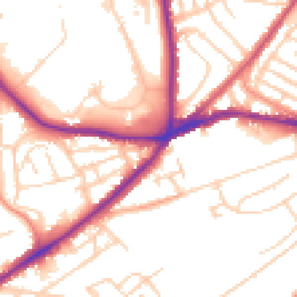
Daytime· 07:00 – 23:00
52.8dB

Night-time· 23:00 – 07:00
42.7dB