Skip to content

10 Blyde Road, Sheffield, S5 7AF

Property type
Mid terrace
Habitable rooms
3
From EPC
Floor area
59 m²
635 sq ft
Energy rating
D
Score 55
Council tax
Band A
Tenure
Private Rental
Overview

About 10 Blyde Road

A plain-English summary derived from public records, EPC certificates, sold prices and local data.

10 Blyde Road is a mid-terrace house in Sheffield (S5 7AF). It has a recorded floor area of 59 m² (around 635 sq ft), construction records dating it to 1900-1929 and council tax band A. The latest certificate (February 2020) shows a D (score 55), a step below the typical UK home. The recommended improvements would lift it to B (score 87), a 2-band jump.

At 59 m² the property is well over the postcode median (38 m² across 8 EPCs), placing it in the larger end of the local stock. Across 1995–2015, sale prices on this property compounded at 5.3% per year. Today's modelled estimate of £116,000 sits 190% above the 2015 sale of £40,000. On the market in September 2015 and unlisted since — roughly 11 years.

Before you decide

Everything you need to know about 10 Blyde Road

The true value, the hidden risks and the full sale history, in one report.

£14.99one-off

30-day money-back guarantee

Preview of the full property report

The data behind every report

  • HM Land Registry, source of sold price history
  • Department for Education, source of schools data
  • Police.uk, source of crime statistics
  • Department for Transport, source of stations and transport links
  • Environment Agency, source of flood risk data
  • Department for Environment, Food & Rural Affairs, source of road noise data
  • PlanIt, source of planning application records
Energy

Energy performance

Every EPC certificate filed against this property — current rating, recorded improvements, and where there's headroom to reach a higher band.

Recommended upgrades on file would lift this property by multiple EPC bands.

EPC Rating

A
B
C
D
D55
E
F
G
Main Heating
Gas
Main Fuel
Gas
Hot Water
Good
Windows
Average
CO2 Emissions
4.1 t/year
Occupancy
Rented
Planning

Planning history

Applications and permits filed against 10 Blyde Road, Sheffield, S5 7AF, sourced from the PlanIt planning register.

10 Blyde Road has no planning applications on record.

Notable planning nearby

2applications of note in the surrounding area

Price

Sales history & valuation

Recorded transactions, our model's current estimate, and a quick read on what neighbouring properties have sold for.

10 Blyde Road has more than doubled in price since the earliest registered sale in 1995.

Current estimate

£116,000

Modelled from EPC, postcode comparables and a sale-price growth of 5.3% per year over 20 years.

See how we calculated this
Last sold (2015)

£40,000

Growth on file: 5.3% per year over 20 years.

Sales timeline

  1. 23 September 2015Most recent

    £40,000

    +185.7%over 20 years
  2. 25 July 1995

    £14,000

Median price across the last 5 sales in S5 7AF: £50,000 (2023–2007).

On the street

Versus other Blyde Road homes

Four headline reads against 3 similar houses on this street, drawn from the latest EPC and Land Registry data.

Years Held for 10 Blyde Road runs comfortably ahead of the street norm.

Price per m²

£678

Street avg £779

Below

Floor Area

59 m²

Street avg 57 m²

Above

Habitable Rooms

3 rooms

Street avg 3 rooms

Below

CO₂ Emissions

4.1 t/year

Street avg 3.6 t/year

Below
Before you decide

Everything you need to know about 10 Blyde Road

The true value, the hidden risks and the full sale history, in one report.

£14.99one-off

30-day money-back guarantee

Preview of the full property report

The data behind every report

  • HM Land Registry, source of sold price history
  • Department for Education, source of schools data
  • Police.uk, source of crime statistics
  • Department for Transport, source of stations and transport links
  • Environment Agency, source of flood risk data
  • Department for Environment, Food & Rural Affairs, source of road noise data
  • PlanIt, source of planning application records
Area

The neighbourhood at a glance

A condensed read of the local area. Each tile links through to the full breakdown on the Sheffield district page.

Crime

13/mo

Steady year-on-year across the wider district.

Nearest stop

0.0 km

Barnsley Road/Coningsby Road — bus stop.

Closest school

0.3 km

Oasis Academy Fir Vale. 32 schools nearby.

Go deeper on the local area

The full report breaks down crime, transport links, schools and air quality in depth.

Noise

Road noise across the postcode

Modelled day and night-time noise levels around S5 7AF from Defra's strategic mapping. The pin marks this postcode's centroid.
Daytime road noise heatmap for S5 7AF

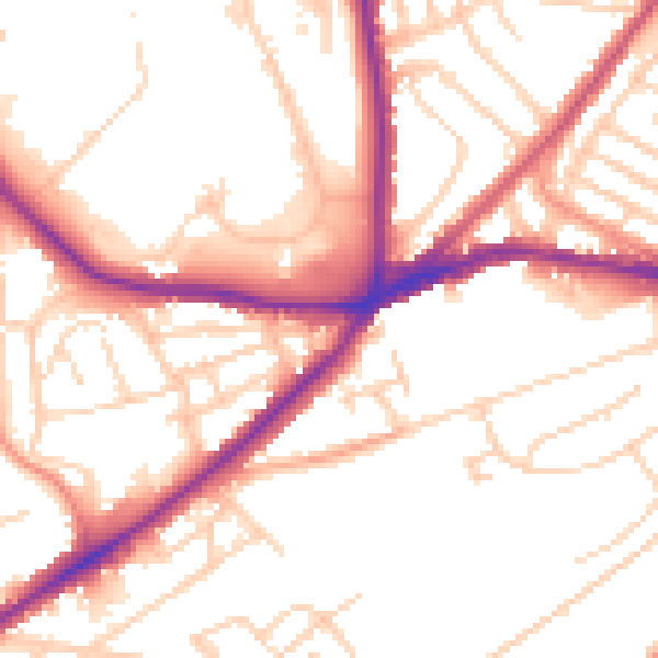
Daytime· 07:00 – 23:00

52.8dB

Low
Night-time road noise heatmap for S5 7AF

Night-time· 23:00 – 07:00

42.7dB

Low
55 dB
60 dB
65 dB
70 dB
75 dB
80 dB
Defra Road Noise Strategic Mapping, Round 4
FAQ

Common questions

The questions buyers, sellers and homeowners most often ask about 10 Blyde Road, Sheffield, S5 7AF. Each answer is also embedded as structured data for search engines.