9 Fircroft Road, Sheffield, S5 0RX
About 9 Fircroft Road
9 Fircroft Road is an end-of-terrace house in Sheffield (S5 0RX). It has a recorded floor area of 72 m² (around 775 sq ft), construction records dating it to 1930-1949 and council tax band A. The latest certificate (May 2025) returns a B (score 84), comfortably above the UK average. When first surveyed in February 2019 the rating was D, the property has climbed 2 bands since. Between certificates, wall efficiency went from Poor to Average and roof efficiency went from Good to Very Good.
On energy efficiency it sits in the top 10% of properties in this postcode.
Everything you need to know about 9 Fircroft Road
The true value, the hidden risks and the full sale history, in one report.
30-day money-back guarantee

The data behind every report


Energy performance
9 Fircroft Road ranks among the most efficient homes in the postcode for energy use.
EPC Rating
Property Improvements
Changes detected from historical EPC data
Cavity wall insulation installed
Loft insulation upgraded to recommended levels
Get a survey for this property
Level 2 HomeBuyer Report
We've checked 10 risk factors against the available data for this property and believe a Level 2 HomeBuyer Report could be a suitable option for you.
From £495 · Includes VAT
Planning history
9 Fircroft Road has no planning applications on record.
The full report still covers planning activity across the surrounding area.
Sales history & valuation
9 Fircroft Road has no Land Registry sales on file, suggesting it has stayed in the same hands since registration began.
£130,000
Modelled from EPC, postcode comparables.
No sales recorded with HM Land Registry
That can mean the property has never traded since the registry began publishing in 1995, was a new build that hasn't been registered yet, or is held in the same hands long-term.
Median price across the last 5 sales in S5 0RX: £125,000 (2024–2017).
Nearby sales in S5 0RX
Versus other Fircroft Road homes
9 Fircroft Road outperforms the street on epc rating by a wide margin.
EPC Rating
84 (B)
Street avg 65 (D)
Floor Area
72 m²
Street avg 78 m²
CO₂ Emissions
1.7 t/year
Street avg 3.5 t/year
Habitable Rooms
4 rooms
Street avg 5 rooms
Everything you need to know about 9 Fircroft Road
The true value, the hidden risks and the full sale history, in one report.
30-day money-back guarantee
The data behind every report
Similar properties nearby
The neighbourhood at a glance
Crime
13/mo
Steady year-on-year across the wider district.
Nearest stop
0.1 km
Bellhouse Road/Gregg House Road — bus stop.
Closest school
0.2 km
Lift Firth Park. 26 schools nearby.
Go deeper on the local area
The full report breaks down crime, transport links, schools and air quality in depth.
Road noise across the postcode
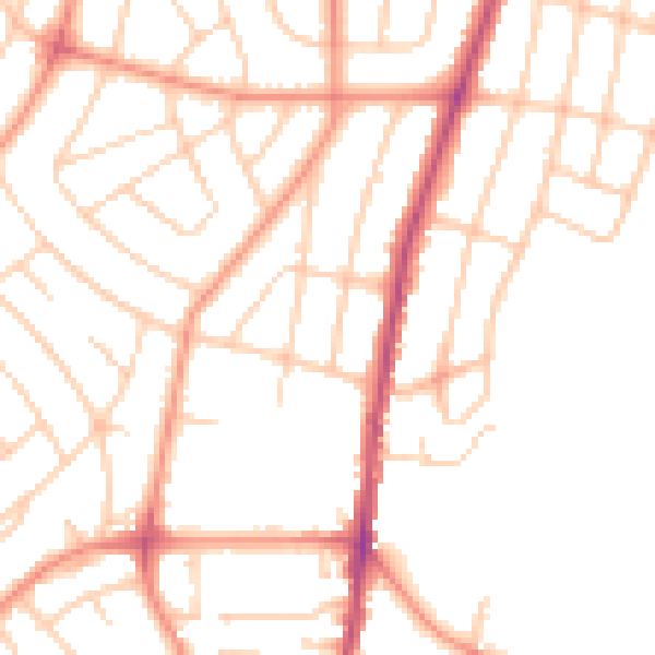
Daytime· 07:00 – 23:00
50.8dB

Night-time· 23:00 – 07:00
39.6dB