871 Sheffield Road, Chesterfield, S41 9EQ
About 871 Sheffield Road
871 Sheffield Road is a four-bedroom end-of-terrace house in Chesterfield (S41 9EQ). It has a recorded floor area of 183 m² (around 1970 sq ft), construction records dating it to 1900-1929 and council tax band B. Tenure is freehold. The latest certificate (July 2023) shows a G (score 10), near the bottom of the EPC scale. The recommended improvements would lift it to D (score 64), a 3-band jump. Main heating runs on dual fuel. Other recorded features include attached land beyond the plot. It has already been extended once and our model flags further extension potential, a sign of buyer flexibility.
At 183 m² the property is well over the postcode median (77 m² across 18 EPCs), placing it in the larger end of the local stock. On energy efficiency it sits in the bottom 10% of properties in this postcode — significant headroom for improvement. Across 2023–2024, sale prices on this property compounded at 9.8% per year. Today's modelled estimate of £220,000 is 27.2% above the 2024 sale price. On a £-per-square-foot basis, the last sale (£88/sq ft) was about 28.8% below the postcode norm. Last sale on file: £173,000 in September 2024. One historical planning record sits against the property in 2025.
What this property has
Inside
- Bedrooms4
Outside
- LandYes
Building
- TenureFreehold
- Previously extendedYes
- Extension potentialPossible
Everything you need to know about 871 Sheffield Road
The true value, the hidden risks and the full sale history, in one report.
Pick your report · from £14.99
One time fee only - money back guarantee
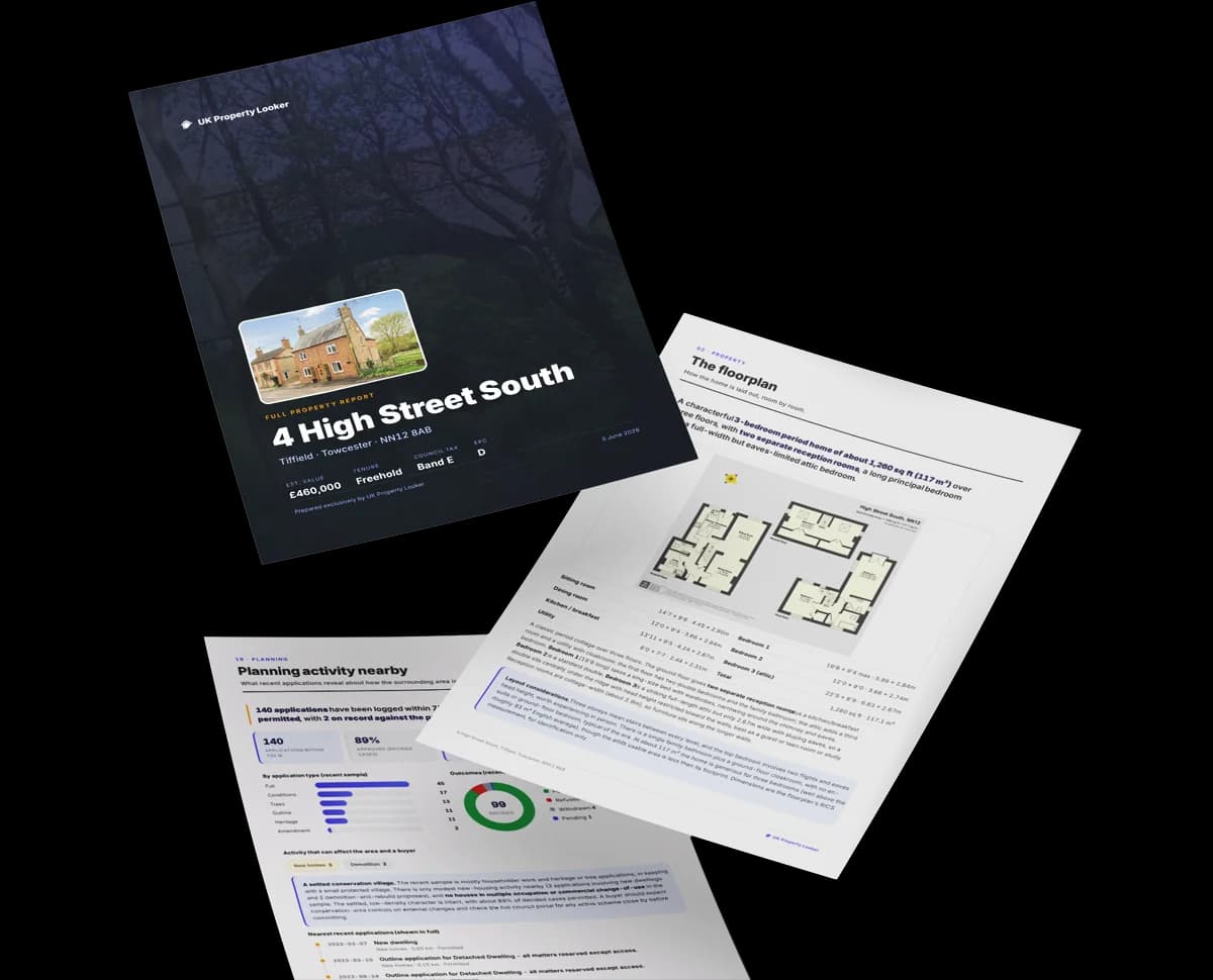
The data behind every report


Energy performance
871 Sheffield Road sits at the bottom of the postcode for energy efficiency — meaningful headroom to improve.
EPC Rating
Certificate validity
Valid until 5 July 2033

Get a survey for this property
Level 3 Building Survey
Because the property was built before 1919, has been extended more than once, and has no mains gas supply, we believe a Level 3 building survey should be considered.
From £885 · Includes VAT
Planning history
1 application on record at 871 Sheffield Road, Chesterfield, S41 9EQ
- Feb 2025ExtensionFullOutcome in report
Extension: Side and rear of property
Two Storey Side and Two Storey Rear Extensions and Formation of Carport To Side and Patio To Rear At Ground Floor, Rear Balcony and Render to walls
- Documents
- 10 docs on file
- Reference
- CHE/24/00754/FUL
Unlock 871 Sheffield Road, Chesterfield, S41 9EQ's full planning history
You're seeing the shape of it. The report has the substance.
- Every decision — granted, refused or withdrawn (1 on record)
- All 1 application on this property in full, plus 3 notable nearby
- The 10 documents, officer reports & conditions
- What the pattern means for extending or converting here
One time fee only - money back guarantee
Sales history & valuation
871 Sheffield Road changed hands twice within eighteen months — unusual for the area.
£220,000
Modelled from EPC, postcode comparables and a sale-price growth of 9.8% per year over 1 year.
£173,000
Growth on file: 9.8% per year over 1 year.
Sales timeline
5 September 2024Most recent
£173,000
+9.8%over 11 months19 October 2023
£157,500
Median price across the last 5 sales in S41 9EQ: £167,500 (2025–2020).
Nearby sales in S41 9EQ
837 Sheffield Road, Chesterfield, S41 9EQ
Sold Jun 2025
£145,000863 Sheffield Road, Chesterfield, S41 9EQ
Sold Dec 2022
£230,000827 Sheffield Road, Chesterfield, S41 9EQ
Sold Aug 2022
£167,500833 Sheffield Road, Chesterfield, S41 9EQ
Sold Feb 2021
£295,000Flat 3, 799 Sheffield Road, Chesterfield, S41 9EQ
Sold Nov 2017
£74,700
Versus other Sheffield Road homes
871 Sheffield Road is notably below the street on epc rating.
Price per m²
£945
Street avg £1,574
Floor Area
183 m²
Street avg 87 m²
Habitable Rooms
8 rooms
Street avg 4 rooms
CO₂ Emissions
23.0 t/year
Street avg 3.6 t/year
Everything you need to know about 871 Sheffield Road
The true value, the hidden risks and the full sale history, in one report.
Pick your report · from £14.99
One time fee only - money back guarantee
The data behind every report
Similar properties nearby
1 Ashcroft Drive, Old Whittington
S41 9NU
1 Coupland Close, Old Whittington
S41 9TB
1 Abbey Croft
S41 9SB
1 Ashleigh Close, Old Whittington
S41 9NA
1 Bursden Close, Old Whittington
S41 9HS
1 Glossops Croft, Old Whittington
S41 9PJ
1 Church Hall Cottages, Church Street North, Old Whittington
S41 9QN
1 Bower Farm Road, Old Whittington
S41 9PR
The neighbourhood at a glance
Crime
270/mo
Steady year-on-year across the wider district.
Nearest stop
0.1 km
The Odd Couple — bus stop.
Closest school
1.0 km
Mary Swanwick Primary School. 12 schools nearby.
Go deeper on the local area
A Local Area report breaks down crime, transport links, schools and air quality in depth.
Road noise across the postcode

Daytime· 07:00 – 23:00
50.9dB

Night-time· 23:00 – 07:00
43.3dB