1 Broadoaks Close, Chesterfield, S41 0EW
About 1 Broadoaks Close
1 Broadoaks Close is a three-bedroom end-of-terrace house in Chesterfield (S41 0EW). It has a recorded floor area of 76 m² (around 818 sq ft), construction records dating it to 1983-1990 and council tax band A. Other recorded features include a conservatory. The home occupies a corner plot. The latest certificate (September 2016) shows a C (score 71). The recommended improvements would push it to B (score 85).
Sold August 2023 for £215,000. Across the public record there are 4 sales, relatively high churn for a single property. At 76 m² it's 20.6% larger than the typical home in the postcode (63 m² median across 19 EPCs). Across 1999–2023, sale prices on this property compounded at 6.8% per year. On a £-per-square-foot basis, the last sale (£263/sq ft) was about 74.1% above the typical sold price in the postcode. 4 planning records sit against the property, 0 approved, 0 refused.
What this property has
Inside
- Bedrooms3
- Bathrooms1
- ConservatoryYes
- FireplaceYes
Outside
- ParkingOff road
- Corner plotYes
Building
- RefurbishedYes
Everything you need to know about 1 Broadoaks Close
The true value, the hidden risks and the full sale history, in one report.
Pick your report · from £14.99
One time fee only - money back guarantee

The data behind every report







Energy performance
EPC Expired
This certificate is over 10 years old and is no longer valid.Expired 01 Sept 2026
EPC Rating
Certificate validity
Expired on 1 September 2026

Get a survey for this property
Level 2 HomeBuyer Report
We've checked 10 risk factors against the available data for this property and believe a Level 2 HomeBuyer Report could be a suitable option for you.
From £545 · Includes VAT
Planning history
Planning history at 1 Broadoaks Close is exclusively tree-management applications — typical for a property with mature trees on or near the plot.
4 applications on record at 1 Broadoaks Close, Chesterfield, S41 0EW
- May 2009Tree WorksTreesOutcome in report
G1 - A. Chestnut - crown lift 5.2m + 2.5m over footpath, clear round base to 2m, clear street light by 1m, crown thin 15%. B. Lime - pull away from building 2m, crown lift 5.2m over highway and 2.5m over footpath. C. Birch - remove lower stem growing towards house, crown lift 3.5m over highway + 2.5m over footpath and clear round street sign by 1m. D. Chestnut - crown thin 15%, crown lift 5.2m over highway + clear main stem of regrowth to 2m from ground level.
- Documents
- 3 docs on file
- Reference
- CHE/09/00231/TPO
- More recent applications — locked
- Tree WorksJun 2020Decision
- Tree WorksMay 2015Decision
+ 1 more application in the report
Unlock 1 Broadoaks Close, Chesterfield, S41 0EW's full planning history
You're seeing the shape of it. The report has the substance.
- Every decision — granted, refused or withdrawn (4 on record)
- All 4 applications on this property in full, plus 5 notable nearby
- The 12 documents, officer reports & conditions
- What the pattern means for extending or converting here
One time fee only - money back guarantee
Sales history & valuation
Latest sale on 1 Broadoaks Close was the highest on Land Registry record across the postcode.
£220,000
Modelled from EPC, postcode comparables and a sale-price growth of 6.8% per year over 24 years.
£215,000
Growth on file: 6.8% per year over 24 years.
Sales timeline
10 August 2023Most recent
£215,000
+48.3%over 6 years10 March 2017
£145,000
+5.8%over 10 years24 November 2006
£137,000
+218.6%over 7 years12 February 1999
£43,000
Median price across the last 5 sales in S41 0EW: £159,950 (2026–2023).
Nearby sales in S41 0EW
25 Broadoaks Close, Chesterfield, S41 0EW
Sold Feb 2026
£160,00035 Broadoaks Close, Chesterfield, S41 0EW
Sold Nov 2024
£159,0008 Broadoaks Close, Chesterfield, S41 0EW
Sold Jul 2024
£143,00011 Broadoaks Close, Chesterfield, S41 0EW
Sold Sept 2023
£173,00010 Broadoaks Close, Chesterfield, S41 0EW
Sold Jan 2023
£159,950
Versus other Broadoaks Close homes
Floor Area for 1 Broadoaks Close runs comfortably ahead of the street norm.
Price per m²
£2,829
Street avg £2,323
Floor Area
76 m²
Street avg 61 m²
Habitable Rooms
5 rooms
Street avg 4 rooms
CO₂ Emissions
2.8 t/year
Street avg 2.6 t/year
Everything you need to know about 1 Broadoaks Close
The true value, the hidden risks and the full sale history, in one report.
Pick your report · from £14.99
One time fee only - money back guarantee
The data behind every report
Similar properties nearby
1 Alum Chine Close, Hasland
S41 0PU
1 Branksome Chine Avenue, Hasland
S41 0PX
1 Coppice Close, Hasland
S41 0NA
1 Cragside Close
S41 0FH
1 Central Street
S41 0SE
1 Challands Close, Hasland
S41 0ET
1 Burgess Close, Hasland
S41 0NP
1 Barclay Grange, Wain Avenue
S41 0FF
The neighbourhood at a glance
Rail-style transport is unusually close for this postcode.
Crime
270/mo
Steady year-on-year across the wider district.
Nearest stop
0.1 km
Piccadilly Road — bus stop.
Closest school
0.8 km
Hady Primary School. 23 schools nearby.
Go deeper on the local area
A Local Area report breaks down crime, transport links, schools and air quality in depth.
Road noise across the postcode
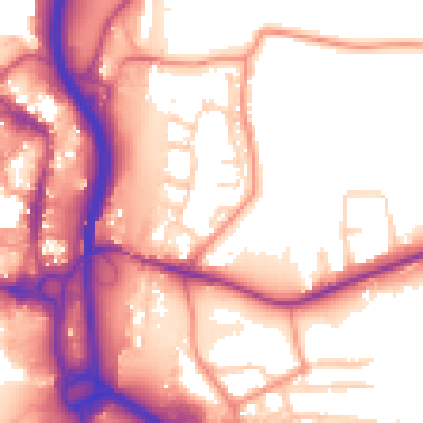
Daytime· 07:00 – 23:00
57.6dB
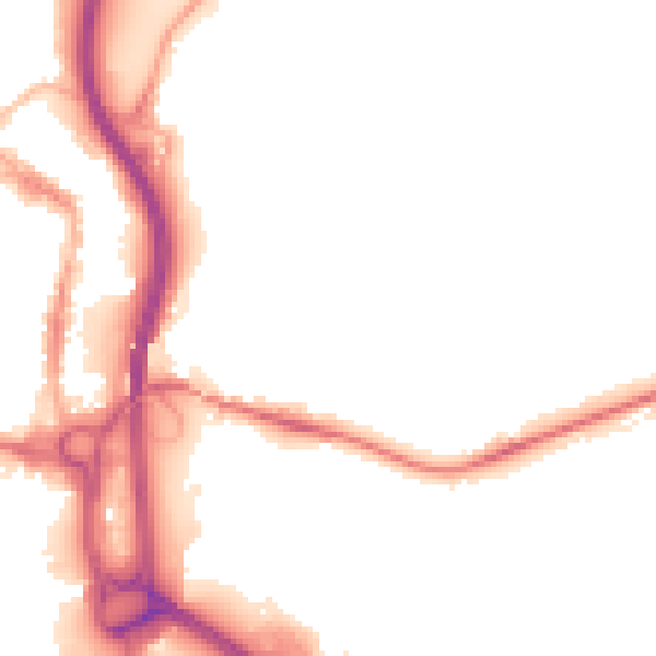
Night-time· 23:00 – 07:00
49.5dB