18 Byron Road, Chesterfield, S40 2TH
About 18 Byron Road
18 Byron Road is a semi-detached house in Chesterfield (S40 2TH). It has a recorded floor area of 50 m² (around 538 sq ft), construction records dating it to 1930-1949 and council tax band A. At 50 m² this is the smallest unit on EPC record across the building (50–117 m²). The building's EPC ratings span D to C, with this unit at the top. The latest certificate (July 2022) shows a C (score 75), near the top of the C band.
It hasn't traded since July 2006, a hold of 20 years that's notably long for the area. At 50 m² it sits well below the postcode median (100 m² across 21 EPCs), making it one of the more compact homes locally. Today's modelled estimate of £121,000 is 34.4% above the 2006 sale price. One historical planning record sits against the property in 2006.
Everything you need to know about 18 Byron Road
The true value, the hidden risks and the full sale history, in one report.
Pick your report · from £14.99
One time fee only - money back guarantee

The data behind every report







Energy performance
EPC Rating
Certificate validity
Valid until 21 July 2032

Get a survey for this property
Level 2 HomeBuyer Report
We've checked 10 risk factors against the available data for this property and believe a Level 2 HomeBuyer Report could be a suitable option for you.
From £495 · Includes VAT
Planning history
Council records show a subdivision application — the property's legal arrangement has been altered.
1 application on record at 18 Byron Road, Chesterfield, S40 2TH
- Oct 2006SubdivisionAmendmentOutcome in report
Conversion of semi detached dwelling into two No flats
- Council
- FILE SHREDDED
- Documents
- 9 docs on file
- Reference
- CHE/06/00733/COU
Unlock 18 Byron Road, Chesterfield, S40 2TH's full planning history
You're seeing the shape of it. The report has the substance.
- Every decision — granted, refused or withdrawn (1 on record)
- All 1 application on this property in full, plus 2 notable nearby
- The 9 documents, officer reports & conditions
- What the pattern means for extending or converting here
One time fee only - money back guarantee
Sales history & valuation
£121,000
Modelled from EPC, postcode comparables.
£90,000
Recorded with HM Land Registry.
Sales timeline
12 July 2006Most recent
£90,000
Median price across the last 3 sales in S40 2TH: £80,000 (2017–1998).
Everything you need to know about 18 Byron Road
The true value, the hidden risks and the full sale history, in one report.
Pick your report · from £14.99
One time fee only - money back guarantee
The data behind every report
Similar properties nearby
1 Burns Close
S40 2SW
1 Baden Powell Avenue
S40 2RW
1 Carlyon Gardens
S40 2SR
1 Baden Powell Road
S40 2SL
1 Berkley House, Forge Drive
S40 2FN
1 Brocklehurst Court, Brocklehurst Piece
S40 2QY
1 Ash Lodge Court, Brocklehurst Piece
S40 2QY
1 Aston House, Horse Chestnut Close
S40 2FF
The neighbourhood at a glance
Crime
338/mo
Steady year-on-year across the wider district.
Nearest stop
0.1 km
Bacons Lane — bus stop.
Closest school
0.2 km
Spire Nursery and Infant School. 21 schools nearby.
Go deeper on the local area
A Local Area report breaks down crime, transport links, schools and air quality in depth.
Road noise across the postcode
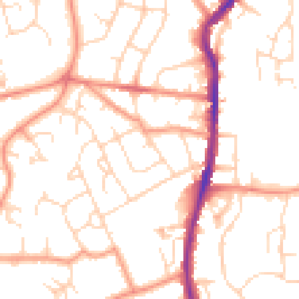
Daytime· 07:00 – 23:00
51.6dB
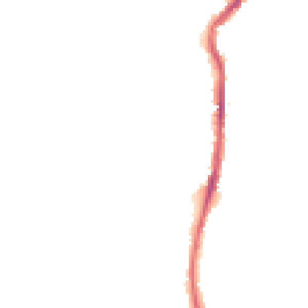
Night-time· 23:00 – 07:00
40.6dB