26 Lump Lane, Grenoside, Sheffield, S35 8PL
About 26 Lump Lane
26 Lump Lane is a property in Grenoside, Sheffield, Sheffield (S35 8PL). It has council tax band B.
Energy performance
No EPC on record
This property doesn't have an Energy Performance Certificate yet. An EPC is required to sell or let — and unlocks our automated valuation.
Planning history
No planning applications are recorded against 26 Lump Lane, Grenoside, Sheffield, S35 8PL. The full report also covers planning activity across the surrounding area.
Sales history & valuation
No sales recorded with HM Land Registry
That can mean the property has never traded since the registry began publishing in 1995, was a new build that hasn't been registered yet, or is held in the same hands long-term.
Median price across the last 5 sales in S35 8PL: £215,000 (2025–2019).
Nearby sales in S35 8PL
34 Lump Lane, Grenoside, Sheffield, S35 8PL
Sold Mar 2025
£215,0001 Lump Lane, Grenoside, Sheffield, S35 8PL
Sold Apr 2023
£2,00014 Lump Lane, Grenoside, Sheffield, S35 8PL
Sold Sept 2020
£326,66024 Lump Lane, Grenoside, Sheffield, S35 8PL
Sold Nov 2019
£187,00011a, Lump Lane, Grenoside, Sheffield, S35 8PL
Sold Aug 2019
£302,500
Similar properties nearby
1 Blacksmith Lane, Grenoside
S35 8NB
1 Brook Close, Grenoside
S35 8NP
1 Creswick Greave, Grenoside
S35 8NJ
1 Creswick Lane, Grenoside
S35 8NL
1 Cross House Close, Grenoside
S35 8SJ
1 Cupola Lane, Grenoside
S35 8NQ
1 Ernest Fox House, Lump Lane, Grenoside
S35 8PZ
1 Frederick Drive, Grenoside
S35 8NS
The neighbourhood at a glance
Daytime road noise here sits well below conversation level — a quiet pocket of the postcode.
Crime
2/mo
Steady year-on-year across the wider district.
Nearest stop
0.2 km
Norfolk Hill/The Frostings — bus stop.
Closest school
0.2 km
Grenoside Community Primary School. 16 schools nearby.
Road noise across the postcode
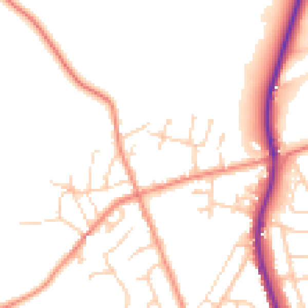
Daytime· 07:00 – 23:00
49.8dB

Night-time· 23:00 – 07:00
40.6dB