11 Carlthorpe Grove, High Green, Sheffield, S35 4PL
About 11 Carlthorpe Grove
11 Carlthorpe Grove is a property in High Green, Sheffield, Sheffield (S35 4PL). It has council tax band A.
Untraded for 24 years, with the last transfer in March 2002.
Know exactly what you're buying at 11 Carlthorpe Grove
Before you offer, see what the listing won't tell you, the true value, the red flags and the full history.
Valuation
against the asking price
Risks
planning & flood
Sold prices
similar homes nearby
Trends
the local market
Energy performance
No EPC on record
This property doesn't have an Energy Performance Certificate yet. An EPC is required to sell or let — and unlocks our automated valuation.
Planning history
11 Carlthorpe Grove has no planning applications on record.
Notable planning nearby
1applications of note in the surrounding area
Sales history & valuation
£34,000
Recorded with HM Land Registry.
Sales timeline
15 March 2002Most recent
£34,000
Median price across the last 5 sales in S35 4PL: £115,000 (2025–2018).
Nearby sales in S35 4PL
13 Carlthorpe Grove, High Green, Sheffield, S35 4PL
Sold Jan 2025
£115,00025 Carlthorpe Grove, High Green, Sheffield, S35 4PL
Sold Aug 2022
£138,2507 Carlthorpe Grove, High Green, Sheffield, S35 4PL
Sold Nov 2021
£117,00017 Carlthorpe Grove, High Green, Sheffield, S35 4PL
Sold Aug 2019
£93,00022 Carlthorpe Grove, High Green, Sheffield, S35 4PL
Sold Jan 2018
£83,500
Everything we know about 11 Carlthorpe Grove, in one report
What it's really worth, what could be wrong, and the planning, sales and area data in full.
- Am I paying too much?
- Is something wrong with it?
- Is the agent's story true?
- Will it hold its value?

Similar properties nearby
1 Broomfield House, Kinsey Road, High Green
S35 4HP
1 Angram View, High Green
S35 4FG
1 Beechfern Close, High Green
S35 4DW
1 Alma Road, High Green
S35 4GA
1 Booth Road, High Green
S35 4GF
1 Acre Gate, High Green
S35 4FT
1 Crossfield Gardens, High Green
S35 4ND
1 Crofton Rise, High Green
S35 4FX
The neighbourhood at a glance
Crime
2/mo
Steady year-on-year across the wider district.
Nearest stop
0.1 km
Potter Hill Lane/Hague Lane — bus stop.
Closest school
0.1 km
Angram Bank Primary School. 9 schools nearby.
Go deeper on the local area
The full report breaks down crime, transport links, schools and air quality in depth.
Road noise across the postcode
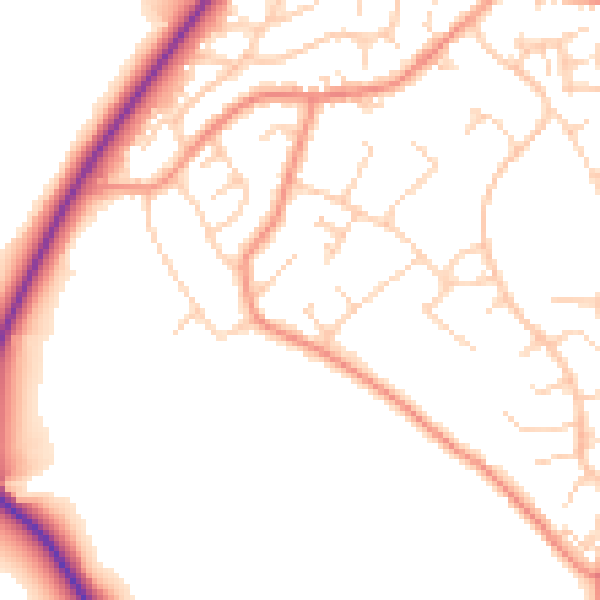
Daytime· 07:00 – 23:00
51.2dB

Night-time· 23:00 – 07:00
41.3dB