3 Booth Road, High Green, Sheffield, S35 4GF
About 3 Booth Road
3 Booth Road is a mid-terrace house in High Green, Sheffield, Sheffield (S35 4GF). It has a recorded floor area of 76 m² (around 818 sq ft), construction records dating it to 1950-1966 and council tax band A. The latest certificate (October 2021) shows a C (score 70). The recommended improvements would push it to B (score 86).
Know exactly what you're buying at 3 Booth Road
Before you offer, see what the listing won't tell you, the true value, the red flags and the full history.
Valuation
against the asking price
Risks
planning & flood
Sold prices
similar homes nearby
Trends
the local market
Energy performance
EPC Rating
Planning history
3 Booth Road has no planning applications on record.
Notable planning nearby
1applications of note in the surrounding area
Sales history & valuation
3 Booth Road has no Land Registry sales on file, suggesting it has stayed in the same hands since registration began.
£137,000
Modelled from EPC, postcode comparables.
No sales recorded with HM Land Registry
That can mean the property has never traded since the registry began publishing in 1995, was a new build that hasn't been registered yet, or is held in the same hands long-term.
Everything we know about 3 Booth Road, in one report
What it's really worth, what could be wrong, and the planning, sales and area data in full.
- Am I paying too much?
- Is something wrong with it?
- Is the agent's story true?
- Will it hold its value?

Versus other Booth Road homes
On floor area, 3 Booth Road stands well clear of the street.
EPC Rating
70 (C)
Street avg 67 (D)
Floor Area
76 m²
Street avg 75 m²
CO₂ Emissions
3.0 t/year
Street avg 3.2 t/year
Habitable Rooms
5 rooms
Street avg 5 rooms
Similar properties nearby
1 Alma Road, High Green
S35 4GA
1 Booth Road, High Green
S35 4GF
1 Angram View, High Green
S35 4FG
1 Crossfield Gardens, High Green
S35 4ND
1 Broomfield House, Kinsey Road, High Green
S35 4HP
1 Crofton Rise, High Green
S35 4FX
1 Beechfern Close, High Green
S35 4DW
1 Acre Gate, High Green
S35 4FT
The neighbourhood at a glance
Crime
2/mo
Steady year-on-year across the wider district.
Nearest stop
0.1 km
Hague Lane/Thompson Hill — bus stop.
Closest school
0.4 km
Angram Bank Primary School. 8 schools nearby.
Go deeper on the local area
The full report breaks down crime, transport links, schools and air quality in depth.
Road noise across the postcode
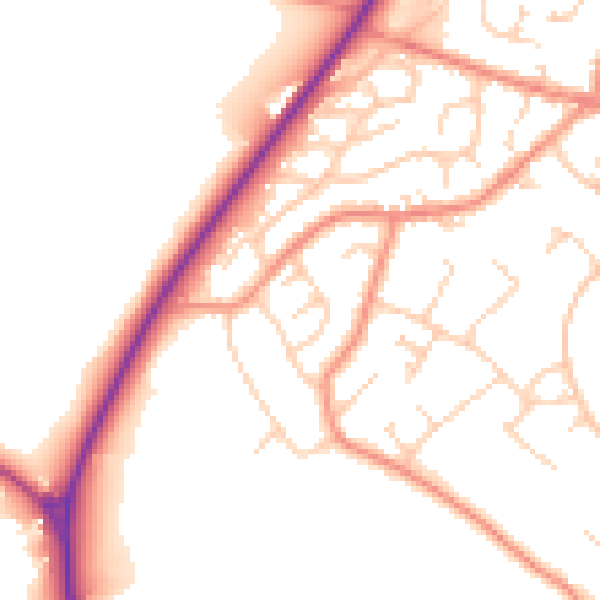
Daytime· 07:00 – 23:00
52.1dB

Night-time· 23:00 – 07:00
42.6dB