2 Ashwood Close, High Green, Sheffield, S35 4FE
About 2 Ashwood Close
2 Ashwood Close is a four-bedroom detached house in High Green, Sheffield, Sheffield (S35 4FE). It has a recorded floor area of 126 m² (around 1356 sq ft), construction records dating it to 1983-1990 and council tax band E. The latest certificate (March 2016) shows a C (score 71). The recommended improvements would push it to B (score 83). The latest certificate is from March 2016, so improvements made since then won't be reflected.
At 126 m² it's 25.1% larger than the typical home in the postcode (101 m² median across 3 EPCs). Last changed hands 10 years ago, in August 2016. Today's modelled estimate of £413,000 is 46.9% above the 2016 sale price.
Know exactly what you're buying at 2 Ashwood Close
Before you offer, see what the listing won't tell you, the true value, the red flags and the full history.
Valuation
against the asking price
Risks
planning & flood
Sold prices
similar homes nearby
Trends
the local market
What this property has
Inside
- Bedrooms4
- Bathrooms3
Energy performance
EPC Expired
This certificate is over 10 years old and is no longer valid.Expired 30 Mar 2026
EPC Rating
Planning history
2 Ashwood Close has no planning applications on record.
Notable planning nearby
1applications of note in the surrounding area
Sales history & valuation
2 Ashwood Close valuation sits well clear of the typical sold price in this postcode.
£413,000
Modelled from EPC, postcode comparables.
£281,100
Recorded with HM Land Registry.
Sales timeline
11 August 2016Most recent
£281,100
Median price across the last 4 sales in S35 4FE: £137,250 (2014–1996).
Everything we know about 2 Ashwood Close, in one report
What it's really worth, what could be wrong, and the planning, sales and area data in full.
- Am I paying too much?
- Is something wrong with it?
- Is the agent's story true?
- Will it hold its value?

Versus other Ashwood Close homes
EPC Rating for 2 Ashwood Close runs comfortably ahead of the street norm.
EPC Rating
71 (C)
Street avg 68 (D)
Floor Area
126 m²
Street avg 106 m²
CO₂ Emissions
4.5 t/year
Street avg 4.0 t/year
Habitable Rooms
7 rooms
Street avg 6 rooms
Similar properties nearby
1 Boswell Close, High Green
S35 4FD
1 Dowland Close, High Green
S35 4DX
1 Chapel Road, High Green
S35 4GH
1 Ashwood Road, High Green
S35 4EY
1 Blackthorn Close, High Green
S35 4FL
1 Dowland Court, High Green
S35 4LB
1 Bellamy Close, High Green
S35 4AD
1 Eagleton Rise, High Green
S35 4DR
The neighbourhood at a glance
Crime
2/mo
Steady year-on-year across the wider district.
Nearest stop
0.1 km
Wortley Road/Westwood New Road — bus stop.
Closest school
0.6 km
High Green Primary School. 9 schools nearby.
Go deeper on the local area
The full report breaks down crime, transport links, schools and air quality in depth.
Road noise across the postcode
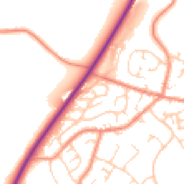
Daytime· 07:00 – 23:00
52.3dB

Night-time· 23:00 – 07:00
42.5dB