29 Greenhead Lane, Chapeltown, Sheffield, S35 2TN
About 29 Greenhead Lane
29 Greenhead Lane is a mid-terrace house in Chapeltown, Sheffield, Sheffield (S35 2TN). It has a recorded floor area of 76 m² (around 818 sq ft), construction records dating it to 1900-1929 and council tax band A. The latest certificate (November 2025) shows a D (score 67), on the cusp of jumping into the C band. The rating has held steady at D across 2 certificates since May 2014. Between certificates, wall efficiency went from Very Poor to Poor and roof efficiency went from Very Poor to Average; while window efficiency dropped from Average to Poor and lighting dropped from Average to Poor. The recommended improvements would push it to C (score 76). This certificate was lodged in the last six months, so the rating reflects current condition.
Across 1996–2019, sale prices on this property compounded at 6.8% per year. Today's modelled estimate of £209,000 sits 54.8% above the 2019 sale of £135,000. On a £-per-square-foot basis, the last sale (£165/sq ft) was about 27.1% above the typical sold price in the postcode. Last sale on file: £135,000 in August 2019. Across the public record there are 5 sales, relatively high churn for a single property.
Know exactly what you're buying at 29 Greenhead Lane
Before you offer, see what the listing won't tell you, the true value, the red flags and the full history.
Already flagged here
Valuation
against the asking price
Risks
planning & flood
Sold prices
similar homes nearby
Trends
the local market
Energy performance
The EPC has just been inspected, so the rating reflects current condition.
EPC Rating
Property Improvements
Changes detected from historical EPC data
Wall insulation improved
Loft insulation installed or upgraded to 250mm+
More low energy lighting installed
Planning history
29 Greenhead Lane has no planning applications on record.
Notable planning nearby
1applications of note in the surrounding area
We flagged 1 thing worth checking at 29 Greenhead Lane
Independent checks surfaced things a buyer would want to understand before offering. The report explains each one in full, with the underlying data and what to ask.
- Larger development activity nearby
30-day money-back guarantee
Sales history & valuation
29 Greenhead Lane has more than quadrupled in price since its earliest registered sale in 1996.
£209,000
Modelled from EPC, postcode comparables and a sale-price growth of 6.8% per year over 23 years.
£135,000
Growth on file: 6.8% per year over 23 years.
Sales timeline
6 August 2019Most recent
£135,000
+18.4%over 4 years20 February 2015
£114,000
+6.0%over 5 years25 June 2009
£107,500
+347.9%over 10 years15 June 1999
£24,000
-20.0%over 2 years26 September 1996
£30,000
Median price across the last 5 sales in S35 2TN: £205,000 (2025–2022).
Nearby sales in S35 2TN
73 Greenhead Lane, Chapeltown, Sheffield, S35 2TN
Sold Aug 2025
£325,00061 Greenhead Lane, Chapeltown, Sheffield, S35 2TN
Sold Apr 2025
£205,00065 Greenhead Lane, Chapeltown, Sheffield, S35 2TN
Sold May 2023
£288,5005 Greenhead Lane, Chapeltown, Sheffield, S35 2TN
Sold Mar 2023
£120,00015 Greenhead Lane, Chapeltown, Sheffield, S35 2TN
Sold Oct 2022
£146,000
Everything we know about 29 Greenhead Lane, in one report
What it's really worth, what could be wrong, and the planning, sales and area data in full.
What we flagged
- Larger development activity nearby

Versus other Greenhead Lane homes
29 Greenhead Lane outperforms the street on co₂ emissions by a wide margin.
Price per m²
£1,776
Street avg £1,786
Floor Area
76 m²
Street avg 88 m²
Habitable Rooms
4 rooms
Street avg 5 rooms
CO₂ Emissions
3.3 t/year
Street avg 4.6 t/year
Similar properties nearby
1 Habershon Drive, Chapeltown
S35 2ZT
1 Aire Close, Chapeltown
S35 2EP
1 Blackburn Croft, Chapeltown
S35 2ZJ
1 Caister Avenue, Chapeltown
S35 2ZN
1 Arundel Road, Chapeltown
S35 2RB
1 Chamberlain Court, Chapeltown
S35 2ZU
1 Grassington Way, Chapeltown
S35 2ER
1 Cotswold Avenue, Chapeltown
S35 2ED
The neighbourhood at a glance
Rail-style transport is unusually close for this postcode.
Crime
2/mo
Steady year-on-year across the wider district.
Nearest stop
0.2 km
Burncross Road/Greenhead Lane — bus stop.
Closest school
0.3 km
Lound Junior School. 12 schools nearby.
Go deeper on the local area
The full report breaks down crime, transport links, schools and air quality in depth.
Road noise across the postcode
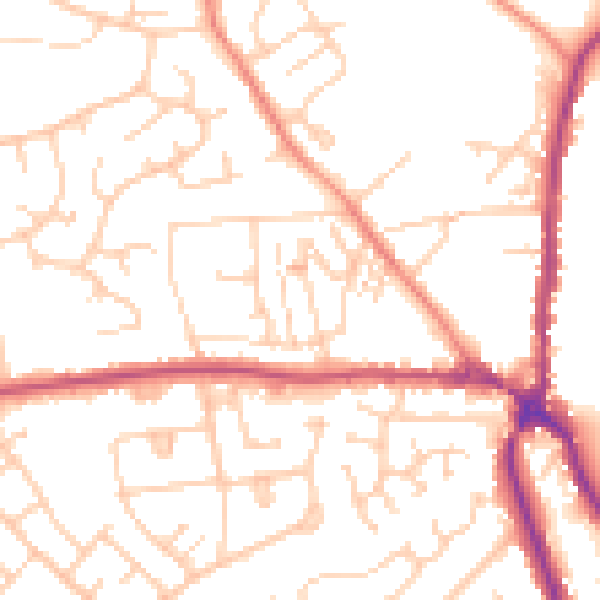
Daytime· 07:00 – 23:00
51.7dB

Night-time· 23:00 – 07:00
41.0dB