61 Greenhead Lane, Chapeltown, Sheffield, S35 2TN
About 61 Greenhead Lane
61 Greenhead Lane is a two-bedroom end-of-terrace house in Chapeltown, Sheffield, Sheffield (S35 2TN). It has a recorded floor area of 78 m² (around 840 sq ft), construction records dating it to 1900-1929 and council tax band A. The latest certificate (October 2024) shows an E (score 54), well below the UK norm with real room to improve. Earlier certificates rated it D (January 2014); the latest reading is one band lower. Between certificates, lighting went from Good to Very Good. The recommended improvements would lift it to B (score 84), a 3-band jump. Period features are noted in the property record.
On energy efficiency it sits in the bottom 10% of properties in this postcode — significant headroom for improvement. Most recent transfer was April 2025 at £205,000 — fresh data. Across the public record there are 6 sales, relatively high churn for a single property. Across 2003–2025, sale prices on this property compounded at 6.1% per year. On a £-per-square-foot basis, the last sale (£244/sq ft) was about 90% above the typical sold price in the postcode.
Know exactly what you're buying at 61 Greenhead Lane
Before you offer, see what the listing won't tell you, the true value, the red flags and the full history.
Already flagged here
Valuation
against the asking price
Risks
planning & flood
Sold prices
similar homes nearby
Trends
the local market
What this property has
Inside
- Bedrooms2
- Bathrooms1
- Dining roomYes
- StudyYes
Outside
- Private gardenYes
- GarageDetached
Building
- Period featuresYes
- RefurbishedYes
Energy performance
61 Greenhead Lane sits at the bottom of the postcode for energy efficiency — meaningful headroom to improve.
EPC Rating
Property Improvements
Changes detected from historical EPC data
More low energy lighting installed
Planning history
61 Greenhead Lane has no planning applications on record.
Notable planning nearby
1applications of note in the surrounding area
We flagged 1 thing worth checking at 61 Greenhead Lane
Independent checks surfaced things a buyer would want to understand before offering. The report explains each one in full, with the underlying data and what to ask.
- Larger development activity nearby
30-day money-back guarantee
Sales history & valuation
61 Greenhead Lane has more than tripled in price since its earliest registered sale in 2003.
£217,000
Modelled from EPC, postcode comparables and a sale-price growth of 6.1% per year over 22 years.
£205,000
Growth on file: 6.1% per year over 22 years.
Sales timeline
24 April 2025Most recent
£205,000
+1.0%over 2 years14 December 2022
£203,000
+16.3%over 1 year27 June 2021
£174,500
+16.3%over 1 year19 December 2019
£150,000
+20.0%over 5 years28 July 2014
£124,950
+126.2%over 11 years17 January 2003
£55,250
Median price across the last 5 sales in S35 2TN: £146,000 (2025–2022).
Nearby sales in S35 2TN
73 Greenhead Lane, Chapeltown, Sheffield, S35 2TN
Sold Aug 2025
£325,00065 Greenhead Lane, Chapeltown, Sheffield, S35 2TN
Sold May 2023
£288,5005 Greenhead Lane, Chapeltown, Sheffield, S35 2TN
Sold Mar 2023
£120,00015 Greenhead Lane, Chapeltown, Sheffield, S35 2TN
Sold Oct 2022
£146,00037 Greenhead Lane, Chapeltown, Sheffield, S35 2TN
Sold Feb 2022
£135,000
Everything we know about 61 Greenhead Lane, in one report
What it's really worth, what could be wrong, and the planning, sales and area data in full.
What we flagged
- Larger development activity nearby

Versus other Greenhead Lane homes
61 Greenhead Lane outperforms the street on price per m² by a wide margin.
Price per m²
£2,628
Street avg £1,738
Floor Area
78 m²
Street avg 88 m²
Habitable Rooms
4 rooms
Street avg 5 rooms
CO₂ Emissions
5.3 t/year
Street avg 4.5 t/year
Similar properties nearby
1 Chambers Valley Road, Chapeltown
S35 2YF
1 Coppice Rise, Chapeltown
S35 2YZ
1 Habershon Drive, Chapeltown
S35 2ZT
1 Chamberlain Court, Chapeltown
S35 2ZU
1 Cotswold Avenue, Chapeltown
S35 2ED
1 Blackburn Crescent, Chapeltown
S35 2EG
1 Chambers Grove, Chapeltown
S35 2TD
1 Chambers View, Chapeltown
S35 2TB
The neighbourhood at a glance
Rail-style transport is unusually close for this postcode.
Crime
2/mo
Steady year-on-year across the wider district.
Nearest stop
0.2 km
Burncross Road/Greenhead Lane — bus stop.
Closest school
0.3 km
Lound Junior School. 12 schools nearby.
Go deeper on the local area
The full report breaks down crime, transport links, schools and air quality in depth.
Road noise across the postcode
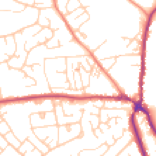
Daytime· 07:00 – 23:00
51.7dB

Night-time· 23:00 – 07:00
41.0dB