4 Lambrell Avenue, Kiveton Park, Sheffield, S26 5NS
About 4 Lambrell Avenue
4 Lambrell Avenue is a semi-detached house in Kiveton Park, Sheffield, Sheffield (S26 5NS). It has a recorded floor area of 87 m² (around 936 sq ft), construction records dating it to 1950-1966 and council tax band A. The latest certificate (June 2014) shows a D (score 58), a step below the typical UK home. The recommended improvements would lift it to B (score 83), a 2-band jump. The latest certificate is from June 2014, so improvements made since then won't be reflected.
On energy efficiency it sits in the bottom 10% of properties in this postcode — significant headroom for improvement.
Everything you need to know about 4 Lambrell Avenue
The true value, the hidden risks and the full sale history, in one report.
30-day money-back guarantee

The data behind every report


Energy performance
4 Lambrell Avenue sits at the bottom of the postcode for energy efficiency — meaningful headroom to improve.
EPC Expired
This certificate is over 10 years old and is no longer valid.Expired 13 Jun 2024
EPC Rating
Planning history
4 Lambrell Avenue has no planning applications on record.
The full report still covers planning activity across the surrounding area.
Sales history & valuation
4 Lambrell Avenue has no Land Registry sales on file, suggesting it has stayed in the same hands since registration began.
£172,000
Modelled from EPC, postcode comparables.
No sales recorded with HM Land Registry
That can mean the property has never traded since the registry began publishing in 1995, was a new build that hasn't been registered yet, or is held in the same hands long-term.
Median price across the last 5 sales in S26 5NS: £213,000 (2025–2025).
Nearby sales in S26 5NS
60 Lambrell Avenue, Kiveton Park, Sheffield, S26 5NS
Sold Jul 2025
£270,00036 Lambrell Avenue, Kiveton Park, Sheffield, S26 5NS
Sold Jul 2025
£115,00010 Lambrell Avenue, Kiveton Park, Sheffield, S26 5NS
Sold Jul 2025
£220,00015 Lambrell Avenue, Kiveton Park, Sheffield, S26 5NS
Sold May 2025
£213,00066 Lambrell Avenue, Kiveton Park, Sheffield, S26 5NS
Sold Mar 2025
£122,000
Versus other Lambrell Avenue homes
On epc rating, 4 Lambrell Avenue runs well behind the street norm.
EPC Rating
58 (D)
Street avg 80 (C)
Floor Area
87 m²
Street avg 114 m²
CO₂ Emissions
4.3 t/year
Street avg 2.3 t/year
Habitable Rooms
4 rooms
Street avg 6 rooms
Everything you need to know about 4 Lambrell Avenue
The true value, the hidden risks and the full sale history, in one report.
30-day money-back guarantee
The data behind every report
Similar properties nearby
1 Festival Close, Kiveton Park
S26 5LY
1 Ash Grove, Kiveton Park
S26 5LE
1 Lambrell Avenue, Kiveton Park
S26 5NS
1 Lime Tree Avenue, Kiveton Park
S26 5NY
1 Heartlands Close, Kiveton Park
S26 5QE
1 Highmoor Avenue, Kiveton Park
S26 5NF
1 Church Street, Wales
S26 5LQ
1 Church Close, Kiveton Park
S26 5LP
The neighbourhood at a glance
Rail-style transport is unusually close for this postcode.
Crime
4/mo
Steady year-on-year across the wider district.
Nearest stop
0.4 km
Wales Road/Chestnut Avenue — bus stop.
Closest school
0.7 km
Wales High School. 9 schools nearby.
Go deeper on the local area
The full report breaks down crime, transport links, schools and air quality in depth.
Road noise across the postcode
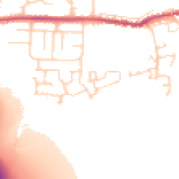
Daytime· 07:00 – 23:00
51.5dB

Night-time· 23:00 – 07:00
43.3dB