60 Lambrell Avenue, Kiveton Park, Sheffield, S26 5NS
About 60 Lambrell Avenue
60 Lambrell Avenue is a four-bedroom end-of-terrace house in Kiveton Park, Sheffield, Sheffield (S26 5NS). It has a recorded floor area of 133 m² (around 1432 sq ft), construction records dating it to 2003-2006 and council tax band C. The latest certificate (October 2024) shows a C (score 79), near the top of the C band. The recommended improvements would push it to B (score 86).
At 133 m² the property is well over the postcode median (101 m² across 65 EPCs), placing it in the larger end of the local stock. It changed hands recently, sold July 2025 for £270,000. Across 2007–2025, sale prices on this property compounded at 2.2% per year. On a £-per-square-foot basis, the last sale (£189/sq ft) was about 27.9% above the typical sold price in the postcode.
What this property has
Inside
- Bedrooms4
- Bathrooms3
- Dining roomYes
- CloakroomYes
- EnsuiteYes
- StudyYes
- FireplaceYes
Outside
- Private gardenRear
- GarageDouble
Building
- Heating systemGas
Everything you need to know about 60 Lambrell Avenue
The true value, the hidden risks and the full sale history, in one report.
30-day money-back guarantee

The data behind every report


Energy performance
EPC Rating
Planning history
60 Lambrell Avenue has no planning applications on record.
The full report still covers planning activity across the surrounding area.
Sales history & valuation
60 Lambrell Avenue valuation sits well clear of the typical sold price in this postcode.
£290,000
Modelled from EPC, postcode comparables and a sale-price growth of 2.2% per year over 18 years.
£270,000
Growth on file: 2.2% per year over 18 years.
Sales timeline
24 July 2025Most recent
£270,000
+46.0%over 17 years12 November 2007
£184,950
Median price across the last 5 sales in S26 5NS: £199,000 (2025–2025).
Nearby sales in S26 5NS
36 Lambrell Avenue, Kiveton Park, Sheffield, S26 5NS
Sold Jul 2025
£115,00010 Lambrell Avenue, Kiveton Park, Sheffield, S26 5NS
Sold Jul 2025
£220,00015 Lambrell Avenue, Kiveton Park, Sheffield, S26 5NS
Sold May 2025
£213,00066 Lambrell Avenue, Kiveton Park, Sheffield, S26 5NS
Sold Mar 2025
£122,00056 Lambrell Avenue, Kiveton Park, Sheffield, S26 5NS
Sold Mar 2025
£199,000
Versus other Lambrell Avenue homes
60 Lambrell Avenue is notably below the street on years held.
Price per m²
£2,030
Street avg £1,684
Floor Area
133 m²
Street avg 113 m²
Habitable Rooms
7 rooms
Street avg 5 rooms
CO₂ Emissions
3.1 t/year
Street avg 2.4 t/year
Everything you need to know about 60 Lambrell Avenue
The true value, the hidden risks and the full sale history, in one report.
30-day money-back guarantee
The data behind every report
Similar properties nearby
1 Fir Tree Drive, Wales
S26 5LZ
1 Beeches Road, Wales
S26 5RR
1 Ashby Drive, Kiveton Park
S26 5PU
1 Brooklands Croft, Wales
S26 5QB
1 Church Close, Kiveton Park
S26 5LP
1 Ash Grove, Kiveton Park
S26 5LE
1 Lime Tree Avenue, Kiveton Park
S26 5NY
1 Horseshoe Close, Wales
S26 5PZ
The neighbourhood at a glance
Rail-style transport is unusually close for this postcode.
Crime
4/mo
Steady year-on-year across the wider district.
Nearest stop
0.4 km
Wales Road/Chestnut Avenue — bus stop.
Closest school
0.7 km
Wales High School. 9 schools nearby.
Go deeper on the local area
The full report breaks down crime, transport links, schools and air quality in depth.
Road noise across the postcode
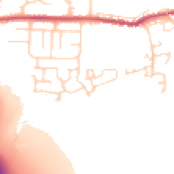
Daytime· 07:00 – 23:00
51.5dB

Night-time· 23:00 – 07:00
43.3dB