6 Aunby Drive, Swallownest, Sheffield, S26 4TJ
About 6 Aunby Drive
6 Aunby Drive is a semi-detached house in Swallownest, Sheffield, Sheffield (S26 4TJ). It has a recorded floor area of 97 m² (around 1040 sq ft), construction records dating it to 1950-1966 and council tax band A. The latest certificate (September 2010) shows an E (score 43), well below the UK norm with real room to improve. The recommended improvements would push it to D (score 64). The latest certificate is from September 2010, so improvements made since then won't be reflected.
Untraded for 16 years, with the last transfer in October 2010. Today's modelled estimate of £141,000 sits 135% above the 2010 sale of £60,000. It lags the bulk of the postcode on energy efficiency (less efficient than 71% of similar EPCs).
Everything you need to know about 6 Aunby Drive
The true value, the hidden risks and the full sale history, in one report.
30-day money-back guarantee

The data behind every report


Energy performance
6 Aunby Drive's carbon output runs well above what efficient homes in the postcode produce.
EPC Expired
This certificate is over 10 years old and is no longer valid.Expired 02 Sept 2020
EPC Rating
Planning history
6 Aunby Drive has no planning applications on record.
The full report still covers planning activity across the surrounding area.
Sales history & valuation
6 Aunby Drive valuation sits well clear of the typical sold price in this postcode.
£141,000
Modelled from EPC, postcode comparables.
£60,000
Recorded with HM Land Registry.
Sales timeline
25 October 2010Most recent
£60,000
Median price across the last 5 sales in S26 4TJ: £80,000 (2023–2001).
Versus other Aunby Drive homes
6 Aunby Drive is notably below the street on epc rating.
Price per m²
£621
Street avg £1,138
Floor Area
97 m²
Street avg 84 m²
Habitable Rooms
5 rooms
Street avg 5 rooms
CO₂ Emissions
6.6 t/year
Street avg 4.6 t/year
Everything you need to know about 6 Aunby Drive
The true value, the hidden risks and the full sale history, in one report.
30-day money-back guarantee
The data behind every report
Similar properties nearby
1 Arcubus Avenue, Swallownest
S26 4TD
1 Darcy Close, Swallownest
S26 4TN
1 Aunby Drive, Swallownest
S26 4TJ
1 Egerton Road, Swallownest
S26 4TQ
1 Florence Avenue, Swallownest
S26 4RL
1 Hilary Way, Swallownest
S26 4ND
1 Bedale Close, Swallownest
S26 4NF
1 Holderness Drive, Swallownest
S26 4TW
The neighbourhood at a glance
Crime
4/mo
Steady year-on-year across the wider district.
Nearest stop
0.1 km
Wesley Avenue/Pagenall Drive — bus stop.
Closest school
0.3 km
Springwood Primary Academy. 12 schools nearby.
Go deeper on the local area
The full report breaks down crime, transport links, schools and air quality in depth.
Road noise across the postcode
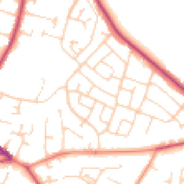
Daytime· 07:00 – 23:00
50.3dB

Night-time· 23:00 – 07:00
40.1dB