2 Aunby Drive, Swallownest, Sheffield, S26 4TJ
About 2 Aunby Drive
2 Aunby Drive is a three-bedroom semi-detached house in Swallownest, Sheffield, Sheffield (S26 4TJ). It has a recorded floor area of 84 m² (around 904 sq ft), construction records dating it to 1930-1949 and council tax band A. The latest certificate (December 2022) shows a D (score 66), on the cusp of jumping into the C band. The recommended improvements would lift it to B (score 88), a 2-band jump.
Across 2004–2023, sale prices on this property compounded at 9.2% per year. Today's modelled estimate of £155,000 is 22.5% above the 2023 sale price. On a £-per-square-foot basis, the last sale (£140/sq ft) was about 142.5% above the typical sold price in the postcode. Sold February 2023 for £126,500.
What this property has
Inside
- Bedrooms3
- Bathrooms1
- Dining roomYes
Outside
- Private gardenRear
- ParkingOff road
Building
- RefurbishedYes
Everything you need to know about 2 Aunby Drive
The true value, the hidden risks and the full sale history, in one report.
30-day money-back guarantee

The data behind every report


Energy performance
Recommended upgrades on file would lift this property by multiple EPC bands.
EPC Rating
Planning history
2 Aunby Drive has no planning applications on record.
The full report still covers planning activity across the surrounding area.
Sales history & valuation
Price for 2 Aunby Drive has grown more than fourfold since the 2004 starting point.
£155,000
Modelled from EPC, postcode comparables and a sale-price growth of 9.2% per year over 19 years.
£126,500
Growth on file: 9.2% per year over 19 years.
Sales timeline
10 February 2023Most recent
£126,500
+427.1%over 18 years22 March 2004
£24,000
Median price across the last 5 sales in S26 4TJ: £60,000 (2022–1999).
Versus other Aunby Drive homes
2 Aunby Drive is notably below the street on years held.
Price per m²
£1,506
Street avg £843
Floor Area
84 m²
Street avg 86 m²
Habitable Rooms
4 rooms
Street avg 5 rooms
CO₂ Emissions
3.7 t/year
Street avg 5.0 t/year
Everything you need to know about 2 Aunby Drive
The true value, the hidden risks and the full sale history, in one report.
30-day money-back guarantee
The data behind every report
Similar properties nearby
1 Arcubus Avenue, Swallownest
S26 4TD
1 Fane Crescent, Swallownest
S26 4TS
1 Camelia Mews, Swallownest
S26 4QB
1 Holly Terrace, Swallownest
S26 4SQ
1 Alpina Way, Swallownest
S26 4QA
1 Alexandra Road, Swallownest
S26 4TA
1 Aysgarth Rise, Swallownest
S26 4SS
1 Bedale Close, Swallownest
S26 4NF
The neighbourhood at a glance
Crime
4/mo
Steady year-on-year across the wider district.
Nearest stop
0.1 km
Wesley Avenue/Pagenall Drive — bus stop.
Closest school
0.3 km
Springwood Primary Academy. 12 schools nearby.
Go deeper on the local area
The full report breaks down crime, transport links, schools and air quality in depth.
Road noise across the postcode
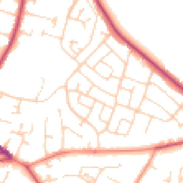
Daytime· 07:00 – 23:00
50.3dB

Night-time· 23:00 – 07:00
40.1dB