9 Heron Hill, Aston, Sheffield, S26 2GF
About 9 Heron Hill
9 Heron Hill is a three-bedroom semi-detached house in Aston, Sheffield, Sheffield (S26 2GF). It has a recorded floor area of 72 m² (around 770 sq ft), construction records dating it to 1967-1975 and council tax band B. The latest certificate (March 2011) shows an E (score 51), well below the UK norm with real room to improve. The recommended improvements would lift it to C (score 76), a 2-band jump. The latest certificate is from March 2011, so improvements made since then won't be reflected.
Today's modelled estimate of £189,000 sits 57.5% above the 2011 sale of £120,000. Last changed hands 15 years ago, in October 2011.
What this property has
Inside
- Bedrooms3
Outside
- Private gardenYes
- GarageYes
Building
- Central heatingYes
Everything you need to know about 9 Heron Hill
The true value, the hidden risks and the full sale history, in one report.
30-day money-back guarantee

The data behind every report


Energy performance
Recommended upgrades on file would lift this property by multiple EPC bands.
EPC Expired
This certificate is over 10 years old and is no longer valid.Expired 24 Mar 2021
EPC Rating
Planning history
9 Heron Hill has no planning applications on record.
The full report still covers planning activity across the surrounding area.
Sales history & valuation
9 Heron Hill valuation sits well clear of the typical sold price in this postcode.
£189,000
Modelled from EPC, postcode comparables.
£120,000
Recorded with HM Land Registry.
Sales timeline
9 October 2011Most recent
£120,000
Median price across the last 5 sales in S26 2GF: £136,250 (2020–2007).
Nearby sales in S26 2GF
10 Heron Hill, Aston, Sheffield, S26 2GF
Sold Oct 2020
£190,0004 Heron Hill, Aston, Sheffield, S26 2GF
Sold Nov 2010
£135,00015 Heron Hill, Aston, Sheffield, S26 2GF
Sold Jul 2008
£136,25018 Heron Hill, Aston, Sheffield, S26 2GF
Sold Mar 2006
£50,0008 Heron Hill, Aston, Sheffield, S26 2GF
Sold Nov 2005
£90,000
Versus other Heron Hill homes
9 Heron Hill is notably below the street on epc rating.
Price per m²
£1,678
Street avg £1,701
Floor Area
72 m²
Street avg 73 m²
Habitable Rooms
5 rooms
Street avg 6 rooms
CO₂ Emissions
5.0 t/year
Street avg 3.5 t/year
Everything you need to know about 9 Heron Hill
The true value, the hidden risks and the full sale history, in one report.
30-day money-back guarantee
The data behind every report
Similar properties nearby
1 Chelmsford Avenue, Aston
S26 2AU
1 Eagle View, Aston
S26 2GL
1 Bramley Avenue, Aston
S26 2AQ
1 Arlington Avenue, Aston
S26 2AA
1 Duckham Drive, Aston
S26 2DZ
1 Church View, Aston
S26 2FE
1 Aylsham Drive, Aston
S26 2FQ
1 Grange Farm Drive, Aston
S26 2GY
The neighbourhood at a glance
Crime
4/mo
Steady year-on-year across the wider district.
Nearest stop
0.4 km
Mansfield Road/Osprey Road — bus stop.
Closest school
0.2 km
Aston Hall Junior and Infant School. 16 schools nearby.
Go deeper on the local area
The full report breaks down crime, transport links, schools and air quality in depth.
Road noise across the postcode
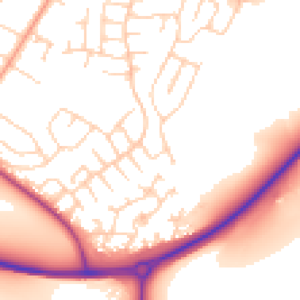
Daytime· 07:00 – 23:00
53.6dB

Night-time· 23:00 – 07:00
44.4dB