103a, Rosegarth Avenue, Aston, Sheffield, S26 2DB
About 103a
103a is an end-of-terrace house in Aston, Sheffield, Sheffield (S26 2DB). It has a recorded floor area of 74 m² (around 797 sq ft), construction records dating it to 1950-1966 and council tax band A. At 74 m² this is the 7th smallest of 22 units on EPC record in the building, where floor areas span 55–127 m². The building's EPC ratings span E to C across 22 units on file. The latest certificate (June 2019) shows a D (score 66), on the cusp of jumping into the C band. The recommended improvements would push it to C (score 69).
Everything you need to know about 103a
The true value, the hidden risks and the full sale history, in one report.
30-day money-back guarantee

The data behind every report


Energy performance
EPC Rating
Planning history
103a has no planning applications on record.
The full report still covers planning activity across the surrounding area.
Sales history & valuation
103a has no Land Registry sales on file, suggesting it has stayed in the same hands since registration began.
£143,000
Modelled from EPC, postcode comparables.
No sales recorded with HM Land Registry
That can mean the property has never traded since the registry began publishing in 1995, was a new build that hasn't been registered yet, or is held in the same hands long-term.
Median price across the last 5 sales in S26 2DB: £235,000 (2025–2023).
Nearby sales in S26 2DB
59 Rosegarth Avenue, Aston, Sheffield, S26 2DB
Sold Sept 2025
£287,00055 Rosegarth Avenue, Aston, Sheffield, S26 2DB
Sold Apr 2025
£230,00023 Rosegarth Avenue, Aston, Sheffield, S26 2DB
Sold Jul 2024
£280,00019 Rosegarth Avenue, Aston, Sheffield, S26 2DB
Sold Nov 2023
£235,00041 Rosegarth Avenue, Aston, Sheffield, S26 2DB
Sold May 2023
£173,500
Versus other Rosegarth Avenue homes
Floor Area for 103a runs comfortably ahead of the street norm.
EPC Rating
66 (D)
Street avg 74 (C)
Floor Area
74 m²
Street avg 62 m²
CO₂ Emissions
3.4 t/year
Street avg 2.0 t/year
Habitable Rooms
3 rooms
Street avg 3 rooms
Everything you need to know about 103a
The true value, the hidden risks and the full sale history, in one report.
30-day money-back guarantee
The data behind every report
Similar properties nearby
1 Cantilupe Crescent, Aston
S26 2AS
1 Bluebird Hill, Aston
S26 2GN
1 Cradley Drive, Aston
S26 2FF
1 Bell Street, Aston
S26 2AP
1 Chelmsford Avenue, Aston
S26 2AU
1 Eagle View, Aston
S26 2GL
1 Bramley Avenue, Aston
S26 2AQ
1 Arlington Avenue, Aston
S26 2AA
The neighbourhood at a glance
Crime
4/mo
Steady year-on-year across the wider district.
Nearest stop
0.2 km
Worksop Road/Lodge Lane — bus stop.
Closest school
0.3 km
Aston All Saints CofE (A) Primary School. 11 schools nearby.
Go deeper on the local area
The full report breaks down crime, transport links, schools and air quality in depth.
Road noise across the postcode
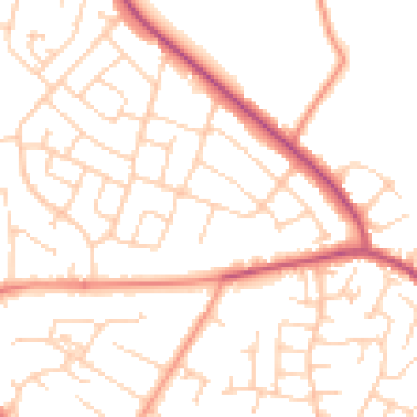
Daytime· 07:00 – 23:00
50.6dB

Night-time· 23:00 – 07:00
39.9dB