23 Rosegarth Avenue, Aston, Sheffield, S26 2DB
About 23 Rosegarth Avenue
23 Rosegarth Avenue is a three-bedroom semi-detached house in Aston, Sheffield, Sheffield (S26 2DB). It has a recorded floor area of 77 m² (around 829 sq ft), construction records dating it to 1950-1966 and council tax band B. Period features are noted in the property record. The latest certificate (July 2022) shows a C (score 70). The recommended improvements would push it to B (score 84).
Across 2022–2024, sale prices on this property compounded at 15.3% per year. On a £-per-square-foot basis, the last sale (£338/sq ft) was about 135% above the typical sold price in the postcode. Sold July 2024 for £280,000.
What this property has
Inside
- Bedrooms3
- Bathrooms1
- StudyYes
Outside
- Private gardenRear
- GarageYes
Building
- Heating systemGas
- Period featuresYes
- RefurbishedYes
Everything you need to know about 23 Rosegarth Avenue
The true value, the hidden risks and the full sale history, in one report.
30-day money-back guarantee

The data behind every report


Energy performance
EPC Rating
Planning history
23 Rosegarth Avenue has no planning applications on record.
The full report still covers planning activity across the surrounding area.
Sales history & valuation
23 Rosegarth Avenue valuation sits well clear of the typical sold price in this postcode.
£275,000
Modelled from EPC, postcode comparables and a sale-price growth of 15.3% per year over 2 years.
£280,000
Growth on file: 15.3% per year over 2 years.
Sales timeline
30 July 2024Most recent
£280,000
+30.2%over 1 year22 September 2022
£215,000
Median price across the last 5 sales in S26 2DB: £230,000 (2025–2022).
Nearby sales in S26 2DB
59 Rosegarth Avenue, Aston, Sheffield, S26 2DB
Sold Sept 2025
£287,00055 Rosegarth Avenue, Aston, Sheffield, S26 2DB
Sold Apr 2025
£230,00019 Rosegarth Avenue, Aston, Sheffield, S26 2DB
Sold Nov 2023
£235,00041 Rosegarth Avenue, Aston, Sheffield, S26 2DB
Sold May 2023
£173,50045 Rosegarth Avenue, Aston, Sheffield, S26 2DB
Sold Sept 2022
£175,000
Versus other Rosegarth Avenue homes
On price per m², 23 Rosegarth Avenue stands well clear of the street.
Price per m²
£3,636
Street avg £1,856
Floor Area
77 m²
Street avg 90 m²
Habitable Rooms
4 rooms
Street avg 5 rooms
CO₂ Emissions
3.0 t/year
Street avg 4.3 t/year
Everything you need to know about 23 Rosegarth Avenue
The true value, the hidden risks and the full sale history, in one report.
30-day money-back guarantee
The data behind every report
Similar properties nearby
1 Aylsham Drive, Aston
S26 2FQ
1 Grange Farm Drive, Aston
S26 2GY
1 Church View, Aston
S26 2FE
1 Duckham Drive, Aston
S26 2DZ
1 Arlington Avenue, Aston
S26 2AA
1 Bramley Avenue, Aston
S26 2AQ
1 Eagle View, Aston
S26 2GL
1 Chelmsford Avenue, Aston
S26 2AU
The neighbourhood at a glance
Crime
4/mo
Steady year-on-year across the wider district.
Nearest stop
0.2 km
Worksop Road/Lodge Lane — bus stop.
Closest school
0.3 km
Aston All Saints CofE (A) Primary School. 11 schools nearby.
Go deeper on the local area
The full report breaks down crime, transport links, schools and air quality in depth.
Road noise across the postcode
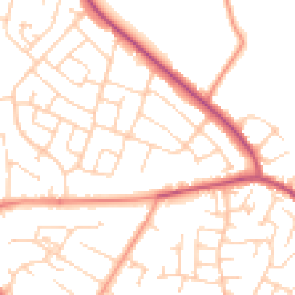
Daytime· 07:00 – 23:00
50.6dB

Night-time· 23:00 – 07:00
39.9dB