25 Arlington Avenue, Aston, Sheffield, S26 2AA
About 25 Arlington Avenue
25 Arlington Avenue is a two-bedroom semi-detached house in Aston, Sheffield, Sheffield (S26 2AA). It has a recorded floor area of 75 m² (around 807 sq ft), construction records dating it to 1930-1949 and council tax band A. The latest certificate (September 2024) shows a D (score 65), on the cusp of jumping into the C band. The recommended improvements would lift it to B (score 81), a 2-band jump. Records show the property has been extended at some point in its history. The home occupies a cul-de-sac position.
On a £-per-square-foot basis, the last sale (£210/sq ft) was about 22.6% above the typical sold price in the postcode. Last sale on file: £169,875 in October 2024.
What this property has
Inside
- Bedrooms2
- Bathrooms1
Outside
- Private gardenRear
- GarageYes
- Cul-de-sacYes
Building
- Heating systemGas
- Previously extendedYes
Everything you need to know about 25 Arlington Avenue
The true value, the hidden risks and the full sale history, in one report.
30-day money-back guarantee

The data behind every report


Energy performance
Recommended upgrades on file would lift this property by multiple EPC bands.
EPC Rating
Planning history
25 Arlington Avenue has no planning applications on record.
The full report still covers planning activity across the surrounding area.
Sales history & valuation
£181,000
Modelled from EPC, postcode comparables.
£169,875
Recorded with HM Land Registry.
Sales timeline
17 October 2024Most recent
£169,875
Median price across the last 5 sales in S26 2AA: £187,000 (2025–2023).
Nearby sales in S26 2AA
21 Arlington Avenue, Aston, Sheffield, S26 2AA
Sold Oct 2025
£187,00015 Arlington Avenue, Aston, Sheffield, S26 2AA
Sold May 2025
£166,0005 Arlington Avenue, Aston, Sheffield, S26 2AA
Sold Jul 2024
£150,0004 Arlington Avenue, Aston, Sheffield, S26 2AA
Sold Aug 2023
£250,0009 Arlington Avenue, Aston, Sheffield, S26 2AA
Sold Apr 2023
£220,000
Versus other Arlington Avenue homes
Years Held for 25 Arlington Avenue lags the street by a wide margin.
Price per m²
£2,265
Street avg £2,246
Floor Area
75 m²
Street avg 92 m²
Habitable Rooms
4 rooms
Street avg 4 rooms
CO₂ Emissions
3.3 t/year
Street avg 3.4 t/year
Everything you need to know about 25 Arlington Avenue
The true value, the hidden risks and the full sale history, in one report.
30-day money-back guarantee
The data behind every report
Similar properties nearby
1 Bell Street, Aston
S26 2AP
1 Clumber Rise, Aston
S26 2ES
1 Chelmsford Avenue, Aston
S26 2AU
1 Eagle View, Aston
S26 2GL
1 Bramley Avenue, Aston
S26 2AQ
1 Arlington Avenue, Aston
S26 2AA
1 Duckham Drive, Aston
S26 2DZ
1 Church View, Aston
S26 2FE
The neighbourhood at a glance
Daytime road noise here sits well below conversation level — a quiet pocket of the postcode.
Crime
4/mo
Steady year-on-year across the wider district.
Nearest stop
0.1 km
Aughton Lane/Maple Grove — bus stop.
Closest school
0.5 km
Aston All Saints CofE (A) Primary School. 10 schools nearby.
Go deeper on the local area
The full report breaks down crime, transport links, schools and air quality in depth.
Road noise across the postcode
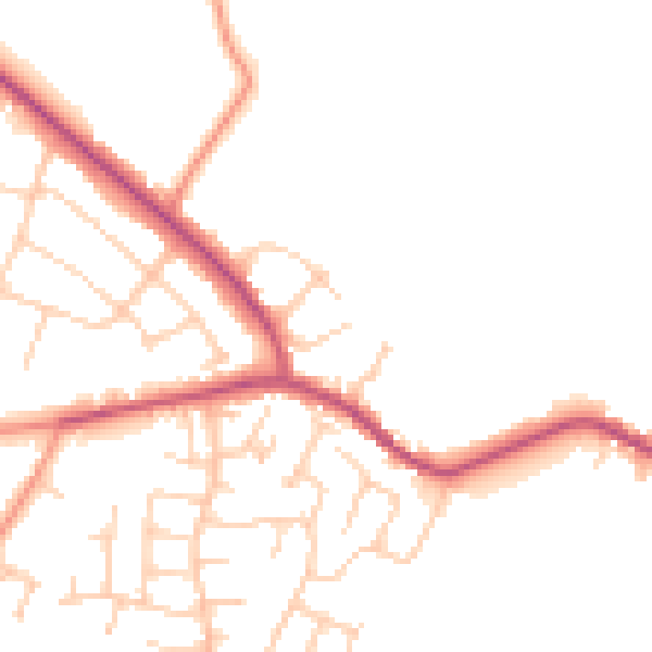
Daytime· 07:00 – 23:00
48.7dB

Night-time· 23:00 – 07:00
40.1dB