15 Arlington Avenue, Aston, Sheffield, S26 2AA
About 15 Arlington Avenue
15 Arlington Avenue is a semi-detached house in Aston, Sheffield, Sheffield (S26 2AA). It has a recorded floor area of 70 m² (around 753 sq ft), construction records dating it to 1930-1949 and council tax band A. The latest certificate (March 2023) shows a D (score 67), on the cusp of jumping into the C band. The recommended improvements would lift it to B (score 82), a 2-band jump.
It changed hands recently, sold May 2025 for £166,000. Across 2000–2025, sale prices on this property compounded at 5.2% per year. On a £-per-square-foot basis, the last sale (£220/sq ft) was about 27.4% above the typical sold price in the postcode.
Everything you need to know about 15 Arlington Avenue
The true value, the hidden risks and the full sale history, in one report.
30-day money-back guarantee

The data behind every report


Energy performance
Recommended upgrades on file would lift this property by multiple EPC bands.
EPC Rating
Planning history
15 Arlington Avenue has no planning applications on record.
The full report still covers planning activity across the surrounding area.
Sales history & valuation
15 Arlington Avenue has more than tripled in price since its earliest registered sale in 2000.
£181,000
Modelled from EPC, postcode comparables and a sale-price growth of 5.2% per year over 25 years.
£166,000
Growth on file: 5.2% per year over 25 years.
Sales timeline
1 May 2025Most recent
£166,000
-14.9%over 12 months9 May 2024
£195,000
+137.8%over 20 years5 June 2003
£82,000
+80.2%over 3 years14 January 2000
£45,500
Median price across the last 5 sales in S26 2AA: £187,000 (2025–2023).
Nearby sales in S26 2AA
21 Arlington Avenue, Aston, Sheffield, S26 2AA
Sold Oct 2025
£187,00025 Arlington Avenue, Aston, Sheffield, S26 2AA
Sold Oct 2024
£169,8755 Arlington Avenue, Aston, Sheffield, S26 2AA
Sold Jul 2024
£150,0004 Arlington Avenue, Aston, Sheffield, S26 2AA
Sold Aug 2023
£250,0009 Arlington Avenue, Aston, Sheffield, S26 2AA
Sold Apr 2023
£220,000
Versus other Arlington Avenue homes
On years held, 15 Arlington Avenue runs well behind the street norm.
Price per m²
£2,371
Street avg £2,238
Floor Area
70 m²
Street avg 93 m²
Habitable Rooms
5 rooms
Street avg 4 rooms
CO₂ Emissions
3.1 t/year
Street avg 3.4 t/year
Everything you need to know about 15 Arlington Avenue
The true value, the hidden risks and the full sale history, in one report.
30-day money-back guarantee
The data behind every report
Similar properties nearby
1 Bluebird Hill, Aston
S26 2GN
1 Cradley Drive, Aston
S26 2FF
1 Bell Street, Aston
S26 2AP
1 Chelmsford Avenue, Aston
S26 2AU
1 Eagle View, Aston
S26 2GL
1 Bramley Avenue, Aston
S26 2AQ
1 Arlington Avenue, Aston
S26 2AA
1 Duckham Drive, Aston
S26 2DZ
The neighbourhood at a glance
Daytime road noise here sits well below conversation level — a quiet pocket of the postcode.
Crime
4/mo
Steady year-on-year across the wider district.
Nearest stop
0.1 km
Aughton Lane/Maple Grove — bus stop.
Closest school
0.5 km
Aston All Saints CofE (A) Primary School. 10 schools nearby.
Go deeper on the local area
The full report breaks down crime, transport links, schools and air quality in depth.
Road noise across the postcode
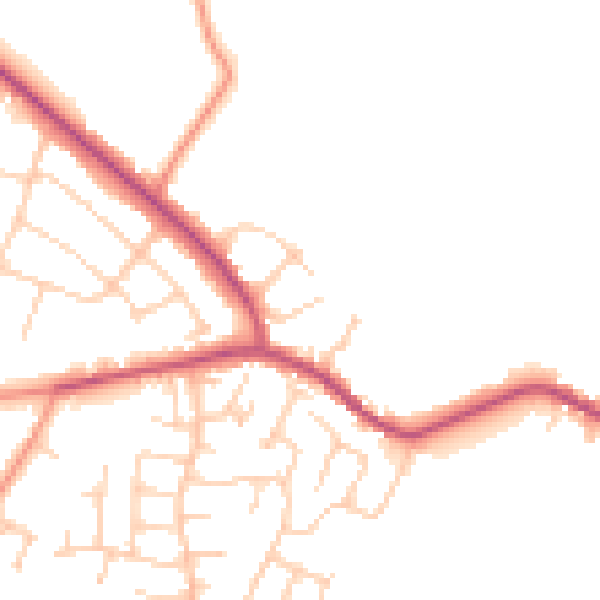
Daytime· 07:00 – 23:00
48.7dB

Night-time· 23:00 – 07:00
40.1dB