9 Main Road, Holmesfield, Dronfield, S18 7WT
About 9 Main Road
9 Main Road is a detached house in Holmesfield, Dronfield, Dronfield (S18 7WT). It has a recorded floor area of 158 m² (around 1701 sq ft), construction records dating it to before 1900 and council tax band A. The latest certificate (April 2019) shows a C (score 77), near the top of the C band. The recommended improvements would push it to B (score 84).
Today's modelled estimate of £589,000 sits 50.1% above the 2019 sale of £392,500. 4 planning records sit against the property, 2 approved, 0 refused. The record references conservation-area consent, which constrain future alterations. At 158 m² it's 16.6% larger than the typical home in the postcode (136 m² median across 30 EPCs). Most recent transfer: May 2019 at £392,500.
Know exactly what you're buying at 9 Main Road
Before you offer, see what the listing won't tell you, the true value, the red flags and the full history.
Already flagged here
Valuation
against the asking price
Risks
planning & flood
Sold prices
similar homes nearby
Trends
the local market
Energy performance
EPC Rating
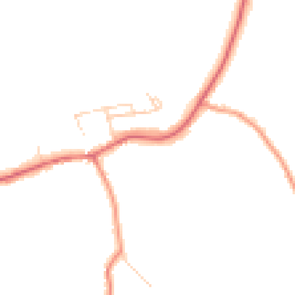
Planning history
9 Main Road sits within a conservation area — exterior works face additional planning controls.
- Mar 2017MixedFullIn report
Change of use of barn to 1 dwelling, change of use of former public house to 1 dwelling and erection of four 3 bed dwellings(Amended Scheme of 15/00341/FL) (Conservation Area) (Additional Information) (Amended Plans) (Amended Scheme/Amended Title)
Conservation Area- Documents
- 76 docs on file
- Reference
- 16/01321/FL
- Jan 2017ConditionsIn report
Discharge of conditions 6 (Stone), 19 ( Doors/Windows), 21 (Rainwater goods), and 22 (Rooflights) relating to previously approved 15/00341/FL
- Documents
- 13 docs on file
- Reference
- 17/00051/DISCON
We flagged 1 thing worth checking at 9 Main Road
Independent checks surfaced things a buyer would want to understand before offering. The report explains each one in full, with the underlying data and what to ask.
- Larger development activity nearby
30-day money-back guarantee
Sales history & valuation
9 Main Road valuation sits well clear of the typical sold price in this postcode.
£589,000
Modelled from EPC, postcode comparables.
£392,500
Recorded with HM Land Registry.
Sales timeline
21 May 2019Most recent
£392,500
Median price across the last 5 sales in S18 7WT: £670,000 (2025–2022).
Nearby sales in S18 7WT
98 Main Road, Holmesfield, Dronfield, S18 7WT
Sold Mar 2025
£680,000Green Gables, Main Road, Holmesfield, Dronfield, S18 7WT
Sold Aug 2024
£960,00040 Main Road, Holmesfield, Dronfield, S18 7WT
Sold Mar 2024
£310,00047 Main Road, Holmesfield, Dronfield, S18 7WT
Sold Oct 2022
£670,00047a, Main Road, Holmesfield, Dronfield, S18 7WT
Sold Sept 2022
£560,000
Everything we know about 9 Main Road, in one report
What it's really worth, what could be wrong, and the planning, sales and area data in full.
What we flagged
- Larger development activity nearby

Versus other Main Road homes
Price per m²
£2,484
Street avg £3,025
Floor Area
158 m²
Street avg 151 m²
Habitable Rooms
5 rooms
Street avg 6 rooms
CO₂ Emissions
4.1 t/year
Street avg 5.7 t/year
Similar properties nearby
1 Farm Cottage, Mill Lane, Millthorpe, Holmesfield
S18 7WL
10 Brookvale Close, Barlow
S18 7TS
10 Commonside Road, Barlow
S18 7SJ
1 Brookvale Close, Barlow
S18 7TS
1 Brook Cottage, Mill Lane, Millthorpe, Holmesfield
S18 7WL
1 Overlees, Barlow
S18 7TP
1 Mill Lane, Barlow
S18 7TL
1 Mill Street, Barlow
S18 7SP
The neighbourhood at a glance
Daytime road noise here sits well below conversation level — a quiet pocket of the postcode.
Crime
5/mo
Steady year-on-year across the wider district.
Nearest stop
0.1 km
Woodside Avenue — bus stop.
Closest school
0.7 km
Penny Acres Primary School. 9 schools nearby.
Go deeper on the local area
The full report breaks down crime, transport links, schools and air quality in depth.
Road noise across the postcode
Daytime· 07:00 – 23:00
43.8dB
Night-time· 23:00 – 07:00
37.2dB