2 Sylvia Road, Unstone, Dronfield, S18 4DP
About 2 Sylvia Road
2 Sylvia Road is a four-bedroom semi-detached house in Unstone, Dronfield, Dronfield (S18 4DP). It has a recorded floor area of 106 m² (around 1141 sq ft), construction records dating it to 1950-1966 and council tax band B. The latest certificate (May 2013) shows a D (score 65), on the cusp of jumping into the C band. The rating has held steady at D across 2 certificates since December 2008. Between certificates, roof efficiency went from Average to Good, hot-water efficiency went from Average to Good and main heating went from Average to Good. The recommended improvements would push it to C (score 79). The latest certificate is from May 2013, so improvements made since then won't be reflected.
Held since August 2010 — that's 16 years off the open market, well above the local norm. Today's modelled estimate of £223,000 sits 78.5% above the 2010 sale of £124,950. On a £-per-square-foot basis, the last sale (£110/sq ft) was about 22.6% below the postcode norm.
Know exactly what you're buying at 2 Sylvia Road
Before you offer, see what the listing won't tell you, the true value, the red flags and the full history.
Valuation
against the asking price
Risks
planning & flood
Sold prices
similar homes nearby
Trends
the local market
What this property has
Inside
- Bedrooms4
Energy performance
2 Sylvia Road's EPC is over a decade old — improvements since won't be reflected.
EPC Expired
This certificate is over 10 years old and is no longer valid.Expired 22 May 2023
EPC Rating
Property Improvements
Changes detected from historical EPC data
Heating controls changed
Hot water efficiency improved
Roof insulation improved
Planning history
2 Sylvia Road has no planning applications on record.
The full report still covers planning activity across the surrounding area.
Sales history & valuation
2 Sylvia Road valuation sits well clear of the typical sold price in this postcode.
£223,000
Modelled from EPC, postcode comparables.
£124,950
Recorded with HM Land Registry.
Sales timeline
17 August 2010Most recent
£124,950
Median price across the last 5 sales in S18 4DP: £249,950 (2023–2007).
Nearby sales in S18 4DP
11 Sylvia Road, Unstone, Dronfield, S18 4DP
Sold Nov 2023
£269,0007 Sylvia Road, Unstone, Dronfield, S18 4DP
Sold Oct 2019
£108,00015 Sylvia Road, Unstone, Dronfield, S18 4DP
Sold Jan 2013
£249,950Birch Hall Farm, Sylvia Road, Unstone, Dronfield, S18 4DP
Sold Jul 2011
£615,0005 Sylvia Road, Unstone, Dronfield, S18 4DP
Sold Mar 2007
£150,000
Everything we know about 2 Sylvia Road, in one report
What it's really worth, what could be wrong, and the planning, sales and area data in full.
- Am I paying too much?
- Is something wrong with it?
- Is the agent's story true?
- Will it hold its value?

Versus other Sylvia Road homes
On price per m², 2 Sylvia Road runs well behind the street norm.
Price per m²
£1,179
Street avg £2,065
Floor Area
106 m²
Street avg 115 m²
Habitable Rooms
6 rooms
Street avg 6 rooms
CO₂ Emissions
3.9 t/year
Street avg 4.5 t/year
Similar properties nearby
1 Old Whittington Lane, Unstone
S18 4DR
1 Hardhurst Road, Unstone
S18 4DS
10 Cheetham Avenue, Unstone
S18 4DL
1 Hawley Street, Apperknowle
S18 4AY
1 Springbank, Unstone
S18 4AD
1 Town End, Apperknowle
S18 4BG
1 The Mount, High Street, Apperknowle
S18 4BD
1 Crow Lane, Unstone
S18 4AN
The neighbourhood at a glance
Daytime road noise here sits well below conversation level — a quiet pocket of the postcode.
Crime
5/mo
Steady year-on-year across the wider district.
Nearest stop
0.3 km
Whittington Lane — bus stop.
Closest school
0.8 km
Unstone Junior School. 15 schools nearby.
Go deeper on the local area
The full report breaks down crime, transport links, schools and air quality in depth.
Road noise across the postcode
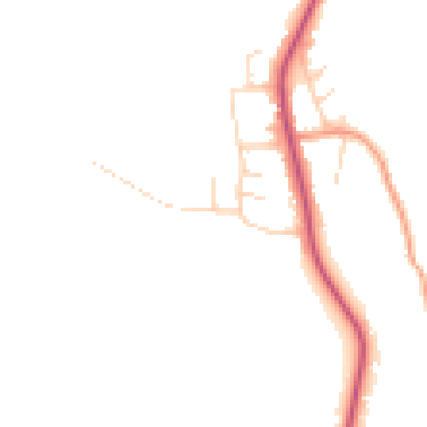
Daytime· 07:00 – 23:00
45.5dB

Night-time· 23:00 – 07:00
38.3dB