2 Ramshaw Road, Unstone, Dronfield, S18 4DG
About 2 Ramshaw Road
2 Ramshaw Road is a three-bedroom semi-detached house in Unstone, Dronfield, Dronfield (S18 4DG). It has a recorded floor area of 82 m² (around 883 sq ft), construction records dating it to 1930-1949 and council tax band A. Tenure is freehold. The latest certificate (April 2018) shows a D (score 55), a step below the typical UK home. The rating has held steady at D across 2 certificates since January 2011. Between certificates, roof efficiency went from Good to Very Good and lighting went from Average to Good. The recommended improvements would push it to C (score 74). The home occupies a cul-de-sac position.
It lags the bulk of the postcode on energy efficiency (less efficient than 71% of similar EPCs). Across 2011–2020, sale prices on this property compounded at 2.8% per year. Today's modelled estimate of £193,000 is 41.9% above the 2020 sale price. On a £-per-square-foot basis, the last sale (£154/sq ft) was about 19.6% above the typical sold price in the postcode. Last sale on file: £136,000 in September 2020.
Know exactly what you're buying at 2 Ramshaw Road
Before you offer, see what the listing won't tell you, the true value, the red flags and the full history.
Valuation
against the asking price
Risks
planning & flood
Sold prices
similar homes nearby
Trends
the local market
What this property has
Inside
- Bedrooms3
- Bathrooms1
- Dining roomYes
- Utility roomYes
- CloakroomYes
- FireplaceYes
Outside
- Private gardenYes
- DrivewayYes
- Cul-de-sacYes
Building
- TenureFreehold
- Heating systemGas
Energy performance
EPC Rating
Property Improvements
Changes detected from historical EPC data
Roof insulation improved
More low energy lighting installed
Planning history
2 Ramshaw Road has no planning applications on record.
The full report still covers planning activity across the surrounding area.
Sales history & valuation
2 Ramshaw Road saw 3 transfers in just over a decade — high turnover for the postcode.
£193,000
Modelled from EPC, postcode comparables and a sale-price growth of 2.8% per year over 9 years.
£136,000
Growth on file: 2.8% per year over 9 years.
Sales timeline
27 September 2020Most recent
£136,000
+8.8%over 2 years19 July 2018
£125,000
+19.0%over 7 years23 June 2011
£105,000
Median price across the last 5 sales in S18 4DG: £130,000 (2023–2017).
Nearby sales in S18 4DG
18 Ramshaw Road, Unstone, Dronfield, S18 4DG
Sold Dec 2023
£130,0004 Ramshaw Road, Unstone, Dronfield, S18 4DG
Sold Dec 2022
£175,00013 Ramshaw Road, Unstone, Dronfield, S18 4DG
Sold May 2017
£135,00020 Ramshaw Road, Unstone, Dronfield, S18 4DG
Sold Apr 2017
£105,00014 Ramshaw Road, Unstone, Dronfield, S18 4DG
Sold Nov 2016
£167,500
Everything we know about 2 Ramshaw Road, in one report
What it's really worth, what could be wrong, and the planning, sales and area data in full.
- Am I paying too much?
- Is something wrong with it?
- Is the agent's story true?
- Will it hold its value?

Versus other Ramshaw Road homes
2 Ramshaw Road is notably below the street on epc rating.
Price per m²
£1,659
Street avg £1,511
Floor Area
82 m²
Street avg 75 m²
Habitable Rooms
5 rooms
Street avg 4 rooms
CO₂ Emissions
5.2 t/year
Street avg 2.9 t/year
Similar properties nearby
1 Old Whittington Lane, Unstone
S18 4DR
1 Hardhurst Road, Unstone
S18 4DS
10 Cheetham Avenue, Unstone
S18 4DL
1 Hawley Street, Apperknowle
S18 4AY
1 Springbank, Unstone
S18 4AD
1 Whittington Lane, Unstone
S18 4DQ
1 The Mount, High Street, Apperknowle
S18 4BD
1 Town End, Apperknowle
S18 4BG
The neighbourhood at a glance
Daytime road noise here sits well below conversation level — a quiet pocket of the postcode.
Crime
5/mo
Steady year-on-year across the wider district.
Nearest stop
0.1 km
Whittington Lane — bus stop.
Closest school
0.6 km
Unstone Junior School. 13 schools nearby.
Go deeper on the local area
The full report breaks down crime, transport links, schools and air quality in depth.
Road noise across the postcode
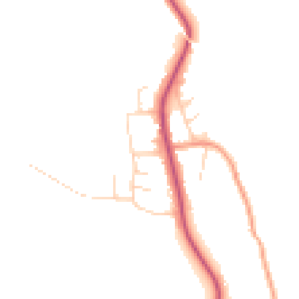
Daytime· 07:00 – 23:00
45.1dB

Night-time· 23:00 – 07:00
37.8dB