13 Ramshaw Road, Unstone, Dronfield, S18 4DG
About 13 Ramshaw Road
13 Ramshaw Road is a two-bedroom semi-detached house in Unstone, Dronfield, Dronfield (S18 4DG). It has a recorded floor area of 75 m² (around 809 sq ft), construction records dating it to 1950-1966 and council tax band A. The latest certificate (December 2010) shows a D (score 65), on the cusp of jumping into the C band. The recommended improvements would push it to C (score 75). The latest certificate is from December 2010, so improvements made since then won't be reflected.
It lags the bulk of the postcode on energy efficiency (less efficient than 71% of similar EPCs). Today's modelled estimate of £191,000 is 41.5% above the 2017 sale price. On a £-per-square-foot basis, the last sale (£167/sq ft) was about 29.5% above the typical sold price in the postcode. 9 years since the last transfer (May 2017).
Know exactly what you're buying at 13 Ramshaw Road
Before you offer, see what the listing won't tell you, the true value, the red flags and the full history.
Valuation
against the asking price
Risks
planning & flood
Sold prices
similar homes nearby
Trends
the local market
What this property has
Inside
- Bedrooms2
- Bathrooms1
- Dining roomYes
- Utility roomYes
Outside
- Private gardenSouth-facing
- GarageYes
Building
- Heating systemGas
Energy performance
13 Ramshaw Road's EPC is over a decade old — improvements since won't be reflected.
EPC Expired
This certificate is over 10 years old and is no longer valid.Expired 17 Dec 2020
EPC Rating
Planning history
13 Ramshaw Road has no planning applications on record.
The full report still covers planning activity across the surrounding area.
Sales history & valuation
13 Ramshaw Road valuation sits well clear of the typical sold price in this postcode.
£191,000
Modelled from EPC, postcode comparables.
£135,000
Recorded with HM Land Registry.
Sales timeline
18 May 2017Most recent
£135,000
Median price across the last 5 sales in S18 4DG: £130,000 (2023–2018).
Nearby sales in S18 4DG
18 Ramshaw Road, Unstone, Dronfield, S18 4DG
Sold Dec 2023
£130,0004 Ramshaw Road, Unstone, Dronfield, S18 4DG
Sold Dec 2022
£175,0002 Ramshaw Road, Unstone, Dronfield, S18 4DG
Sold Sept 2020
£136,00020 Ramshaw Road, Unstone, Dronfield, S18 4DG
Sold Apr 2017
£105,00014 Ramshaw Road, Unstone, Dronfield, S18 4DG
Sold Nov 2016
£167,500
Everything we know about 13 Ramshaw Road, in one report
What it's really worth, what could be wrong, and the planning, sales and area data in full.
- Am I paying too much?
- Is something wrong with it?
- Is the agent's story true?
- Will it hold its value?

Versus other Ramshaw Road homes
13 Ramshaw Road is notably below the street on co₂ emissions.
Price per m²
£1,796
Street avg £1,483
Floor Area
75 m²
Street avg 76 m²
Habitable Rooms
3 rooms
Street avg 4 rooms
CO₂ Emissions
3.6 t/year
Street avg 3.1 t/year
Similar properties nearby
1 Whittington Lane, Unstone
S18 4DQ
1 The Mount, High Street, Apperknowle
S18 4BD
1 Old Whittington Lane, Unstone
S18 4DR
1 Hardhurst Road, Unstone
S18 4DS
10 Cheetham Avenue, Unstone
S18 4DL
1 Hawley Street, Apperknowle
S18 4AY
1 Springbank, Unstone
S18 4AD
1 Sylvia Road, Unstone
S18 4DP
The neighbourhood at a glance
Daytime road noise here sits well below conversation level — a quiet pocket of the postcode.
Crime
5/mo
Steady year-on-year across the wider district.
Nearest stop
0.1 km
Whittington Lane — bus stop.
Closest school
0.6 km
Unstone Junior School. 13 schools nearby.
Go deeper on the local area
The full report breaks down crime, transport links, schools and air quality in depth.
Road noise across the postcode
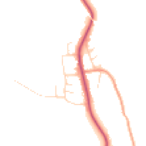
Daytime· 07:00 – 23:00
45.1dB
Night-time· 23:00 – 07:00
37.8dB