3 Loundes Road, Unstone, Dronfield, S18 4DE
About 3 Loundes Road
3 Loundes Road is a two-bedroom property in Unstone, Dronfield, Dronfield (S18 4DE). It has council tax band A.
14 years since the last transfer (December 2011).
Know exactly what you're buying at 3 Loundes Road
Before you offer, see what the listing won't tell you, the true value, the red flags and the full history.
Valuation
against the asking price
Risks
planning & flood
Sold prices
similar homes nearby
Trends
the local market
What this property has
Inside
- Bedrooms2
Energy performance
No EPC on record
This property doesn't have an Energy Performance Certificate yet. An EPC is required to sell or let — and unlocks our automated valuation.
Planning history
3 Loundes Road has no planning applications on record.
The full report still covers planning activity across the surrounding area.
Sales history & valuation
£110,000
Recorded with HM Land Registry.
Sales timeline
12 December 2011Most recent
£110,000
Median price across the last 5 sales in S18 4DE: £150,000 (2022–2020).
Nearby sales in S18 4DE
22 Loundes Road, Unstone, Dronfield, S18 4DE
Sold Oct 2022
£165,00036 Loundes Road, Unstone, Dronfield, S18 4DE
Sold Aug 2022
£175,00045 Loundes Road, Unstone, Dronfield, S18 4DE
Sold Jun 2021
£147,25038 Loundes Road, Unstone, Dronfield, S18 4DE
Sold Jun 2020
£150,0002 Loundes Road, Unstone, Dronfield, S18 4DE
Sold Nov 2017
£122,000
Everything we know about 3 Loundes Road, in one report
What it's really worth, what could be wrong, and the planning, sales and area data in full.
- Am I paying too much?
- Is something wrong with it?
- Is the agent's story true?
- Will it hold its value?

Similar properties nearby
1 Whittington Lane, Unstone
S18 4DQ
1 The Mount, High Street, Apperknowle
S18 4BD
1 Old Whittington Lane, Unstone
S18 4DR
1 Hardhurst Road, Unstone
S18 4DS
10 Cheetham Avenue, Unstone
S18 4DL
1 Hawley Street, Apperknowle
S18 4AY
1 Springbank, Unstone
S18 4AD
1 North Close, Unstone
S18 4DX
The neighbourhood at a glance
Daytime road noise here sits well below conversation level — a quiet pocket of the postcode.
Crime
5/mo
Steady year-on-year across the wider district.
Nearest stop
0.2 km
Whittington Lane — bus stop.
Closest school
0.6 km
Unstone Junior School. 13 schools nearby.
Go deeper on the local area
The full report breaks down crime, transport links, schools and air quality in depth.
Road noise across the postcode
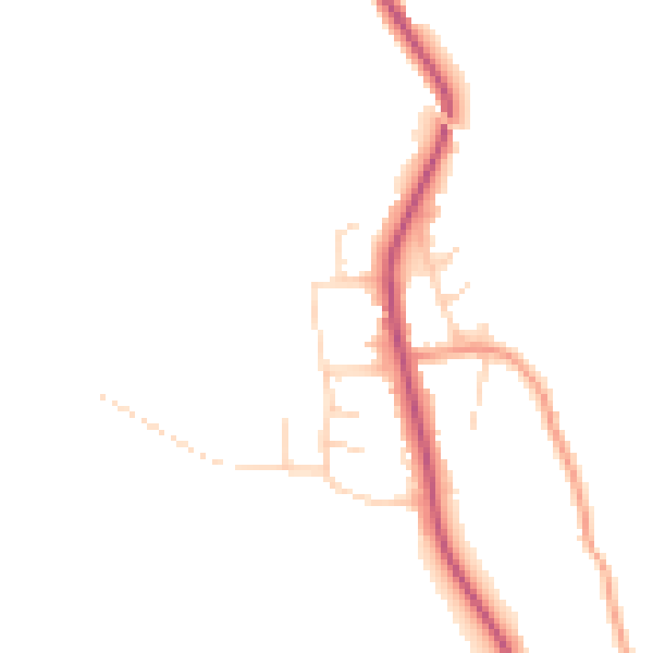
Daytime· 07:00 – 23:00
44.8dB

Night-time· 23:00 – 07:00
37.7dB