15 Loundes Road, Unstone, Dronfield, S18 4DE
About 15 Loundes Road
15 Loundes Road is a semi-detached house in Unstone, Dronfield, Dronfield (S18 4DE). It has a recorded floor area of 90 m² (around 969 sq ft), construction records dating it to 1930-1949 and council tax band A. The latest certificate (February 2026) shows a C (score 71). This certificate was lodged in the last six months, so the rating reflects current condition.
Know exactly what you're buying at 15 Loundes Road
Before you offer, see what the listing won't tell you, the true value, the red flags and the full history.
Valuation
against the asking price
Risks
planning & flood
Sold prices
similar homes nearby
Trends
the local market
Energy performance
The EPC has just been inspected, so the rating reflects current condition.
EPC Rating
Planning history
15 Loundes Road has no planning applications on record.
The full report still covers planning activity across the surrounding area.
Sales history & valuation
15 Loundes Road has no Land Registry sales on file, suggesting it has stayed in the same hands since registration began.
No sales recorded with HM Land Registry
That can mean the property has never traded since the registry began publishing in 1995, was a new build that hasn't been registered yet, or is held in the same hands long-term.
Median price across the last 5 sales in S18 4DE: £150,000 (2022–2020).
Nearby sales in S18 4DE
22 Loundes Road, Unstone, Dronfield, S18 4DE
Sold Oct 2022
£165,00036 Loundes Road, Unstone, Dronfield, S18 4DE
Sold Aug 2022
£175,00045 Loundes Road, Unstone, Dronfield, S18 4DE
Sold Jun 2021
£147,25038 Loundes Road, Unstone, Dronfield, S18 4DE
Sold Jun 2020
£150,0002 Loundes Road, Unstone, Dronfield, S18 4DE
Sold Nov 2017
£122,000
Everything we know about 15 Loundes Road, in one report
What it's really worth, what could be wrong, and the planning, sales and area data in full.
- Am I paying too much?
- Is something wrong with it?
- Is the agent's story true?
- Will it hold its value?

Versus other Loundes Road homes
On co₂ emissions, 15 Loundes Road stands well clear of the street.
EPC Rating
71 (C)
Street avg 67 (D)
Floor Area
90 m²
Street avg 85 m²
CO₂ Emissions
2.1 t/year
Street avg 3.5 t/year
Habitable Rooms
5 rooms
Street avg 5 rooms
Similar properties nearby
The neighbourhood at a glance
Daytime road noise here sits well below conversation level — a quiet pocket of the postcode.
Crime
5/mo
Steady year-on-year across the wider district.
Nearest stop
0.2 km
Whittington Lane — bus stop.
Closest school
0.6 km
Unstone Junior School. 13 schools nearby.
Go deeper on the local area
The full report breaks down crime, transport links, schools and air quality in depth.
Road noise across the postcode
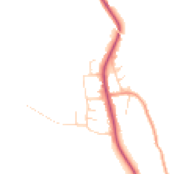
Daytime· 07:00 – 23:00
44.8dB

Night-time· 23:00 – 07:00
37.7dB