11a, Firthwood Close, Coal Aston, Dronfield, S18 3DD
About 11a
11a is a two-bedroom detached house in Coal Aston, Dronfield, Dronfield (S18 3DD). It has a recorded floor area of 69 m² (around 738 sq ft), construction records dating it to 1967-1975 and council tax band C. The latest certificate (June 2011) shows a D (score 64), on the cusp of jumping into the C band. The latest certificate is from June 2011, so improvements made since then won't be reflected. The home occupies a cul-de-sac position.
Today's modelled estimate of £270,000 sits 83.7% above the 2011 sale of £147,000. On a £-per-square-foot basis, the last sale (£199/sq ft) was about 22.4% above the typical sold price in the postcode. On the market in September 2011 and unlisted since — roughly 15 years.
Know exactly what you're buying at 11a
Before you offer, see what the listing won't tell you, the true value, the red flags and the full history.
Valuation
against the asking price
Risks
planning & flood
Sold prices
similar homes nearby
Trends
the local market
What this property has
Inside
- Bedrooms2
- Dining roomYes
Outside
- GarageYes
- Cul-de-sacYes
Building
- Central heatingYes
Energy performance
11a's EPC is over a decade old — improvements since won't be reflected.
EPC Expired
This certificate is over 10 years old and is no longer valid.Expired 01 Jun 2021
EPC Rating
Planning history
11a has no planning applications on record.
The full report still covers planning activity across the surrounding area.
Sales history & valuation
11a valuation sits well clear of the typical sold price in this postcode.
£270,000
Modelled from EPC, postcode comparables.
£147,000
Recorded with HM Land Registry.
Sales timeline
1 September 2011Most recent
£147,000
Median price across the last 5 sales in S18 3DD: £240,000 (2025–2010).
Nearby sales in S18 3DD
3 Firthwood Close, Coal Aston, Dronfield, S18 3DD
Sold Sept 2025
£335,0007 Firthwood Close, Coal Aston, Dronfield, S18 3DD
Sold Sept 2025
£307,5001 Firthwood Close, Coal Aston, Dronfield, S18 3DD
Sold Oct 2018
£240,0005 Firthwood Close, Coal Aston, Dronfield, S18 3DD
Sold Dec 2009
£182,0008 Firthwood Close, Coal Aston, Dronfield, S18 3DD
Sold Mar 2007
£165,000
Everything we know about 11a, in one report
What it's really worth, what could be wrong, and the planning, sales and area data in full.
- Am I paying too much?
- Is something wrong with it?
- Is the agent's story true?
- Will it hold its value?

Versus other Firthwood Close homes
On floor area, 11a runs well behind the street norm.
Price per m²
£2,143
Street avg £2,314
Floor Area
69 m²
Street avg 87 m²
Habitable Rooms
4 rooms
Street avg 4 rooms
CO₂ Emissions
3.2 t/year
Street avg 3.8 t/year
Similar properties nearby
1 Ferndale Close, Coal Aston
S18 3BR
1 Stone Road, Coal Aston
S18 3AH
1 Thorpe Avenue, Coal Aston
S18 3BB
1 Ferndale Road, Coal Aston
S18 3BT
1 Stone Close, Coal Aston
S18 3AS
1 Westbank Court, Westbank Close, Coal Aston
S18 3DF
1 Westbank Close, Coal Aston
S18 3DE
1 The Ridgeway, Coal Aston
S18 3BY
The neighbourhood at a glance
Daytime road noise here sits well below conversation level — a quiet pocket of the postcode.
Crime
5/mo
Steady year-on-year across the wider district.
Nearest stop
0.2 km
Firthwood Road — bus stop.
Closest school
0.6 km
Northfield Junior School. 12 schools nearby.
Go deeper on the local area
The full report breaks down crime, transport links, schools and air quality in depth.
Road noise across the postcode
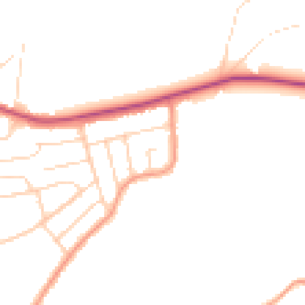
Daytime· 07:00 – 23:00
45.6dB

Night-time· 23:00 – 07:00
38.0dB