6 Barnard Avenue, Coal Aston, Dronfield, S18 3BN
About 6 Barnard Avenue
6 Barnard Avenue is a semi-detached house in Coal Aston, Dronfield, Dronfield (S18 3BN). It has a recorded floor area of 118 m² (around 1270 sq ft), construction records dating it to 1950-1966 and council tax band C. The latest certificate (April 2025) shows a D (score 58), a step below the typical UK home. The recommended improvements would lift it to B (score 82), a 2-band jump.
At 118 m² it's 24.2% larger than the typical home in the postcode (95 m² median across 15 EPCs).
Know exactly what you're buying at 6 Barnard Avenue
Before you offer, see what the listing won't tell you, the true value, the red flags and the full history.
Valuation
against the asking price
Risks
planning & flood
Sold prices
similar homes nearby
Trends
the local market
Energy performance
6 Barnard Avenue's carbon output runs well above what efficient homes in the postcode produce.
EPC Rating
Planning history
6 Barnard Avenue has no planning applications on record.
The full report still covers planning activity across the surrounding area.
Sales history & valuation
6 Barnard Avenue has no Land Registry sales on file, suggesting it has stayed in the same hands since registration began.
£344,000
Modelled from EPC, postcode comparables.
No sales recorded with HM Land Registry
That can mean the property has never traded since the registry began publishing in 1995, was a new build that hasn't been registered yet, or is held in the same hands long-term.
Median price across the last 5 sales in S18 3BN: £385,000 (2024–2021).
Nearby sales in S18 3BN
30 Barnard Avenue, Coal Aston, Dronfield, S18 3BN
Sold Nov 2024
£395,00011 Barnard Avenue, Coal Aston, Dronfield, S18 3BN
Sold May 2024
£265,00028 Barnard Avenue, Coal Aston, Dronfield, S18 3BN
Sold Sept 2023
£434,50022 Barnard Avenue, Coal Aston, Dronfield, S18 3BN
Sold May 2022
£385,00017 Barnard Avenue, Coal Aston, Dronfield, S18 3BN
Sold Aug 2021
£312,000
Everything we know about 6 Barnard Avenue, in one report
What it's really worth, what could be wrong, and the planning, sales and area data in full.
- Am I paying too much?
- Is something wrong with it?
- Is the agent's story true?
- Will it hold its value?

Versus other Barnard Avenue homes
Habitable Rooms for 6 Barnard Avenue runs comfortably ahead of the street norm.
EPC Rating
58 (D)
Street avg 64 (D)
Floor Area
118 m²
Street avg 104 m²
CO₂ Emissions
6.3 t/year
Street avg 4.6 t/year
Habitable Rooms
7 rooms
Street avg 5 rooms
Similar properties nearby
1 Westbank Close, Coal Aston
S18 3DE
1 Firthwood Avenue, Coal Aston
S18 3BQ
1 Thorpe Avenue, Coal Aston
S18 3BB
10 Barnard Avenue, Coal Aston
S18 3BN
1 The Ridgeway, Coal Aston
S18 3BY
1 Brown Lane, Coal Aston
S18 3AJ
1 Firthwood Close, Coal Aston
S18 3DD
1 Ferndale Road, Coal Aston
S18 3BT
The neighbourhood at a glance
Daytime road noise here sits well below conversation level — a quiet pocket of the postcode.
Crime
5/mo
Steady year-on-year across the wider district.
Nearest stop
0.2 km
Firthwood Road — bus stop.
Closest school
0.6 km
Northfield Junior School. 13 schools nearby.
Go deeper on the local area
The full report breaks down crime, transport links, schools and air quality in depth.
Road noise across the postcode
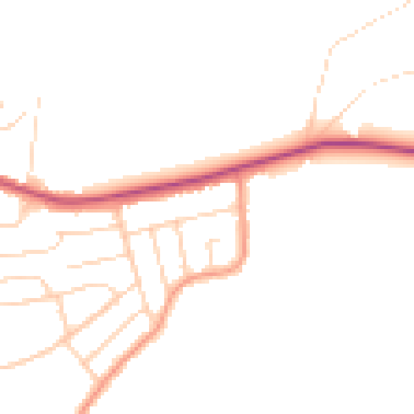
Daytime· 07:00 – 23:00
45.5dB

Night-time· 23:00 – 07:00
37.9dB