28 Barnard Avenue, Coal Aston, Dronfield, S18 3BN
About 28 Barnard Avenue
28 Barnard Avenue is a three-bedroom detached house in Coal Aston, Dronfield, Dronfield (S18 3BN). It has a recorded floor area of 113 m² (around 1216 sq ft), construction records dating it to 1976-1982 and council tax band C. The latest certificate (May 2023) shows a D (score 67), on the cusp of jumping into the C band. The rating has held steady at D across 2 certificates since June 2012. Between certificates, wall efficiency went from Poor to Average and lighting went from Very Poor to Very Good; while roof efficiency dropped from Good to Average. The recommended improvements would lift it to B (score 83), a 2-band jump. Our model identifies extension potential, subject to local planning policy.
2 planning records sit against the property, 2 approved, 0 refused. Past consents include an extension and a conservatory, meaningful when judging how the property has evolved. At 113 m² it's 18.9% larger than the typical home in the postcode (95 m² median across 15 EPCs). Across 2012–2023, sale prices on this property compounded at 3.5% per year. On a £-per-square-foot basis, the last sale (£357/sq ft) was about 65.5% above the typical sold price in the postcode. Most recent transfer: September 2023 at £434,500.
Know exactly what you're buying at 28 Barnard Avenue
Before you offer, see what the listing won't tell you, the true value, the red flags and the full history.
Valuation
against the asking price
Risks
planning & flood
Sold prices
similar homes nearby
Trends
the local market
What this property has
Inside
- Bedrooms3
- Bathrooms2
- EnsuiteYes
- StudyYes
Outside
- Private gardenYes
- GarageYes
Building
- Extension potentialPossible
Energy performance
Recommended upgrades on file would lift this property by multiple EPC bands.
EPC Rating
Property Improvements
Changes detected from historical EPC data
Wall insulation upgraded
More low energy lighting installed
Planning history
28 Barnard Avenue has an approved single-storey rear extension on the planning record.
- Jan 2004ConservatoryFullIn report
Extension: Single storey · Rear of property
Construction of first floor extension over existing ground floor extension (revised scheme) and construction of conservatory at rear
Extension- Documents
- 5 docs on file
- Reference
- 03/01391/FL
- Sept 2003ExtensionFullIn report
Extension: Single storey · Rear of property
Proposed construction of first floor extension over existing extension to rear
- Documents
- 6 docs on file
- Reference
- 03/01031/FL
What's in 28 Barnard Avenue, Coal Aston, Dronfield, S18 3BN's planning history?
Refusals, disputes and full decisions on this property and nearby, in the report.
Sales history & valuation
Latest sale on 28 Barnard Avenue was the highest on Land Registry record across the postcode.
£443,000
Modelled from EPC, postcode comparables and a sale-price growth of 3.5% per year over 11 years.
£434,500
Growth on file: 3.5% per year over 11 years.
Sales timeline
21 September 2023Most recent
£434,500
+46.1%over 10 years30 September 2012
£297,500
Median price across the last 5 sales in S18 3BN: £312,000 (2024–2020).
Nearby sales in S18 3BN
30 Barnard Avenue, Coal Aston, Dronfield, S18 3BN
Sold Nov 2024
£395,00011 Barnard Avenue, Coal Aston, Dronfield, S18 3BN
Sold May 2024
£265,00022 Barnard Avenue, Coal Aston, Dronfield, S18 3BN
Sold May 2022
£385,00017 Barnard Avenue, Coal Aston, Dronfield, S18 3BN
Sold Aug 2021
£312,00012 Barnard Avenue, Coal Aston, Dronfield, S18 3BN
Sold Aug 2020
£257,500
Everything we know about 28 Barnard Avenue, in one report
What it's really worth, what could be wrong, and the planning, sales and area data in full.
- Am I paying too much?
- Is something wrong with it?
- Is the agent's story true?
- Will it hold its value?

Versus other Barnard Avenue homes
28 Barnard Avenue outperforms the street on price per m² by a wide margin.
Price per m²
£3,845
Street avg £2,664
Floor Area
113 m²
Street avg 105 m²
Habitable Rooms
6 rooms
Street avg 5 rooms
CO₂ Emissions
4.7 t/year
Street avg 4.7 t/year
Similar properties nearby
1 Stone Close, Coal Aston
S18 3AS
1 Ferndale Road, Coal Aston
S18 3BT
1 Thorpe Avenue, Coal Aston
S18 3BB
1 Ferndale Close, Coal Aston
S18 3BR
1 Eckington Road, Coal Aston
S18 3AT
1 Firthwood Close, Coal Aston
S18 3DD
1 The Ridgeway, Coal Aston
S18 3BY
1 Westbank Close, Coal Aston
S18 3DE
The neighbourhood at a glance
Daytime road noise here sits well below conversation level — a quiet pocket of the postcode.
Crime
5/mo
Steady year-on-year across the wider district.
Nearest stop
0.2 km
Firthwood Road — bus stop.
Closest school
0.6 km
Northfield Junior School. 13 schools nearby.
Go deeper on the local area
The full report breaks down crime, transport links, schools and air quality in depth.
Road noise across the postcode
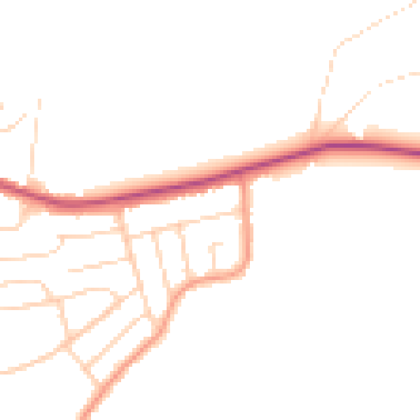
Daytime· 07:00 – 23:00
45.5dB

Night-time· 23:00 – 07:00
37.9dB