4 Drury Lane, Coal Aston, Dronfield, S18 3AP
About 4 Drury Lane
4 Drury Lane is a three-bedroom semi-detached house in Coal Aston, Dronfield, Dronfield (S18 3AP). It has a recorded floor area of 78 m² (around 840 sq ft), construction records dating it to 1930-1949 and council tax band B. The latest certificate (March 2017) shows a C (score 69), just inside the C band. When first surveyed in November 2012 the rating was D, the property has climbed 1 band since. Between certificates, wall efficiency went from Poor to Good and window efficiency went from Poor to Good; while lighting dropped from Average to Very Poor. The recommended improvements would push it to B (score 86).
One planning record on file: an extension approved in 2022. Past consents include an extension, meaningful when judging how the property has evolved. Across 2013–2017, sale prices on this property compounded at 11.4% per year. Today's modelled estimate of £315,000 is 43.2% above the 2017 sale price. On a £-per-square-foot basis, the last sale (£262/sq ft) was about 42.1% above the typical sold price in the postcode. Last sold in August 2017, so it's been off the market for around 9 years.
Know exactly what you're buying at 4 Drury Lane
Before you offer, see what the listing won't tell you, the true value, the red flags and the full history.
Valuation
against the asking price
Risks
planning & flood
Sold prices
similar homes nearby
Trends
the local market
What this property has
Inside
- Bedrooms3
Energy performance
EPC Rating
Property Improvements
Changes detected from historical EPC data
Heating controls upgraded for better temperature management
Windows upgraded, improving insulation
Cavity wall insulation installed
Low energy lighting percentage decreased
Planning history
- Dec 2022ExtensionFullIn report
Extension: Single storey · Side of property
Garage conversion to home office at Rear, with added extension to Garage side.
- Documents
- 9 docs on file
- Reference
- 22/00772/FLH
What's in 4 Drury Lane, Coal Aston, Dronfield, S18 3AP's planning history?
Refusals, disputes and full decisions on this property and nearby, in the report.
Sales history & valuation
4 Drury Lane valuation sits well clear of the typical sold price in this postcode.
£315,000
Modelled from EPC, postcode comparables and a sale-price growth of 11.4% per year over 4 years.
£220,000
Growth on file: 11.4% per year over 4 years.
Sales timeline
31 August 2017Most recent
£220,000
+60.0%over 4 years25 April 2013
£137,500
Median price across the last 5 sales in S18 3AP: £294,339 (2024–2022).
Nearby sales in S18 3AP
36 Drury Lane, Coal Aston, Dronfield, S18 3AP
Sold Apr 2024
£315,00031 Drury Lane, Coal Aston, Dronfield, S18 3AP
Sold Oct 2023
£294,33926 Drury Lane, Coal Aston, Dronfield, S18 3AP
Sold Oct 2022
£232,00015 Drury Lane, Coal Aston, Dronfield, S18 3AP
Sold Jun 2022
£400,0008 Drury Lane, Coal Aston, Dronfield, S18 3AP
Sold Apr 2022
£286,000
Everything we know about 4 Drury Lane, in one report
What it's really worth, what could be wrong, and the planning, sales and area data in full.
- Am I paying too much?
- Is something wrong with it?
- Is the agent's story true?
- Will it hold its value?

Versus other Drury Lane homes
On co₂ emissions, 4 Drury Lane stands well clear of the street.
Price per m²
£2,821
Street avg £2,661
Floor Area
78 m²
Street avg 83 m²
Habitable Rooms
5 rooms
Street avg 5 rooms
CO₂ Emissions
3.1 t/year
Street avg 4.2 t/year
Similar properties nearby
1 Thorpe Avenue, Coal Aston
S18 3BB
1 Ferndale Close, Coal Aston
S18 3BR
1 Ferndale Road, Coal Aston
S18 3BT
1 Stone Close, Coal Aston
S18 3AS
1 Westbank Close, Coal Aston
S18 3DE
1 The Ridgeway, Coal Aston
S18 3BY
1 Firthwood Close, Coal Aston
S18 3DD
1 Eckington Road, Coal Aston
S18 3AT
The neighbourhood at a glance
Daytime road noise here sits well below conversation level — a quiet pocket of the postcode.
Crime
5/mo
Steady year-on-year across the wider district.
Nearest stop
0.1 km
Methodist Church — bus stop.
Closest school
0.3 km
Northfield Junior School. 16 schools nearby.
Go deeper on the local area
The full report breaks down crime, transport links, schools and air quality in depth.
Road noise across the postcode
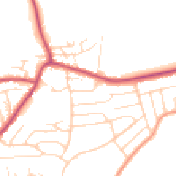
Daytime· 07:00 – 23:00
48.1dB

Night-time· 23:00 – 07:00
39.5dB