49 Scarsdale Road, Dronfield, S18 1SN
About 49 Scarsdale Road
49 Scarsdale Road is a two-bedroom mid-terrace house in Dronfield (S18 1SN). It has a recorded floor area of 78 m² (around 840 sq ft), construction records dating it to 1900-1929 and council tax band A. The latest certificate (July 2022) shows a D (score 66), on the cusp of jumping into the C band. The recommended improvements would lift it to B (score 84), a 2-band jump. Period features are noted in the property record.
Sold February 2023 for £230,000. Across the public record there are 5 sales, relatively high churn for a single property. At 78 m² it's 21.9% larger than the typical home in the postcode (64 m² median across 42 EPCs). Across 2000–2023, sale prices on this property compounded at 7.2% per year. On a £-per-square-foot basis, the last sale (£274/sq ft) was about 92.2% above the typical sold price in the postcode.
Know exactly what you're buying at 49 Scarsdale Road
Before you offer, see what the listing won't tell you, the true value, the red flags and the full history.
Already flagged here
Valuation
against the asking price
Risks
planning & flood
Sold prices
similar homes nearby
Trends
the local market
What this property has
Inside
- Bedrooms2
- Bathrooms2
- Dining roomYes
- EnsuiteYes
Outside
- Private gardenSouth-facing
Building
- Period featuresYes
Energy performance
Recommended upgrades on file would lift this property by multiple EPC bands.
EPC Rating
Planning history
49 Scarsdale Road has no planning applications on record.
Notable planning nearby
2applications of note in the surrounding area
We flagged 1 thing worth checking at 49 Scarsdale Road
Independent checks surfaced things a buyer would want to understand before offering. The report explains each one in full, with the underlying data and what to ask.
- Larger development activity nearby
30-day money-back guarantee
Sales history & valuation
Price for 49 Scarsdale Road has grown more than fourfold since the 2000 starting point.
£243,000
Modelled from EPC, postcode comparables and a sale-price growth of 7.2% per year over 23 years.
£230,000
Growth on file: 7.2% per year over 23 years.
Sales timeline
22 February 2023Most recent
£230,000
+62.0%over 8 years5 December 2014
£142,000
+18.3%over 5 years6 November 2009
£120,000
+84.6%over 8 years3 October 2001
£65,000
+35.3%over 1 year5 July 2000
£48,025
Median price across the last 5 sales in S18 1SN: £185,000 (2025–2023).
Nearby sales in S18 1SN
Everything we know about 49 Scarsdale Road, in one report
What it's really worth, what could be wrong, and the planning, sales and area data in full.
What we flagged
- Larger development activity nearby

Versus other Scarsdale Road homes
Price per m² for 49 Scarsdale Road runs comfortably ahead of the street norm.
Price per m²
£2,949
Street avg £2,036
Floor Area
78 m²
Street avg 80 m²
Habitable Rooms
4 rooms
Street avg 5 rooms
CO₂ Emissions
3.6 t/year
Street avg 4.3 t/year
Similar properties nearby
The neighbourhood at a glance
Rail-style transport is unusually close for this postcode.
Crime
5/mo
Steady year-on-year across the wider district.
Nearest stop
0.1 km
Fire Station — bus stop.
Closest school
0.3 km
Dronfield Junior School. 14 schools nearby.
Go deeper on the local area
The full report breaks down crime, transport links, schools and air quality in depth.
Road noise across the postcode
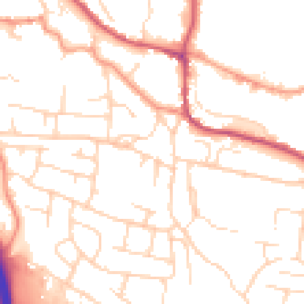
Daytime· 07:00 – 23:00
50.2dB
Night-time· 23:00 – 07:00
39.8dB