10 Scarsdale Road, Dronfield, S18 1SN
About 10 Scarsdale Road
10 Scarsdale Road is a three-bedroom mid-terrace house in Dronfield (S18 1SN). It has a recorded floor area of 73 m² (around 786 sq ft), construction records dating it to before 1900 and council tax band A. The latest certificate (May 2022) shows an E (score 51), well below the UK norm with real room to improve. Earlier certificates rated it D (May 2010); the latest reading is one band lower. Between certificates, lighting went from Very Poor to Average; while roof efficiency dropped from Average to Very Poor. The recommended improvements would lift it to B (score 83), a 3-band jump. Period features are noted in the property record.
It lags the bulk of the postcode on energy efficiency (less efficient than 83% of similar EPCs). Across 2004–2022, sale prices on this property compounded at 3.2% per year. On a £-per-square-foot basis, the last sale (£255/sq ft) was about 78.7% above the typical sold price in the postcode. Last sale on file: £200,000 in October 2022. That sale was during the post-pandemic price surge, when transactions cleared materially above pre-2020 trend.
Know exactly what you're buying at 10 Scarsdale Road
Before you offer, see what the listing won't tell you, the true value, the red flags and the full history.
Already flagged here
Valuation
against the asking price
Risks
planning & flood
Sold prices
similar homes nearby
Trends
the local market
What this property has
Inside
- Bedrooms3
- Bathrooms1
Outside
- Private gardenYes
Building
- Period featuresYes
Energy performance
Recommended upgrades on file would lift this property by multiple EPC bands.
EPC Rating
Property Improvements
Changes detected from historical EPC data
Heating controls changed
More low energy lighting installed
Planning history
10 Scarsdale Road has no planning applications on record.
Notable planning nearby
2applications of note in the surrounding area
We flagged 1 thing worth checking at 10 Scarsdale Road
Independent checks surfaced things a buyer would want to understand before offering. The report explains each one in full, with the underlying data and what to ask.
- Larger development activity nearby
30-day money-back guarantee
Sales history & valuation
The latest sale landed in the post-pandemic price surge — useful context when reading the figure.
£219,000
Modelled from EPC, postcode comparables and a sale-price growth of 3.2% per year over 18 years.
£200,000
Growth on file: 3.2% per year over 18 years.
Sales timeline
9 October 2022Most recent
£200,000
+60.0%over 11 years25 August 2011
£125,000
+11.6%over 7 years15 July 2004
£112,000
Median price across the last 5 sales in S18 1SN: £185,000 (2025–2023).
Nearby sales in S18 1SN
Everything we know about 10 Scarsdale Road, in one report
What it's really worth, what could be wrong, and the planning, sales and area data in full.
What we flagged
- Larger development activity nearby

Versus other Scarsdale Road homes
On epc rating, 10 Scarsdale Road runs well behind the street norm.
Price per m²
£2,740
Street avg £2,045
Floor Area
73 m²
Street avg 80 m²
Habitable Rooms
5 rooms
Street avg 5 rooms
CO₂ Emissions
5.2 t/year
Street avg 4.3 t/year
Similar properties nearby
The neighbourhood at a glance
Rail-style transport is unusually close for this postcode.
Crime
5/mo
Steady year-on-year across the wider district.
Nearest stop
0.1 km
Fire Station — bus stop.
Closest school
0.3 km
Dronfield Junior School. 14 schools nearby.
Go deeper on the local area
The full report breaks down crime, transport links, schools and air quality in depth.
Road noise across the postcode
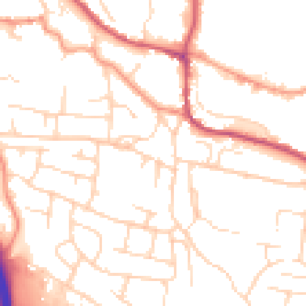
Daytime· 07:00 – 23:00
50.2dB

Night-time· 23:00 – 07:00
39.8dB