25 Ballifield Close, Sheffield, S13 9HP
About 25 Ballifield Close
25 Ballifield Close is a three-bedroom semi-detached house in Sheffield (S13 9HP). It has a recorded floor area of 69 m² (around 743 sq ft), construction records dating it to 1950-1966 and council tax band A. The latest certificate (October 2017) shows a D (score 66), on the cusp of jumping into the C band. The recommended improvements would lift it to B (score 86), a 2-band jump.
Today's modelled estimate of £200,000 sits 90.5% above the 2017 sale of £105,000. On a £-per-square-foot basis, the last sale (£141/sq ft) was about 24.8% above the typical sold price in the postcode. On the market in December 2017 and unlisted since — roughly 8 years.
What this property has
Inside
- Bedrooms3
- Bathrooms1
Outside
- Private gardenYes
- GarageYes
Building
- RefurbishedYes
Everything you need to know about 25 Ballifield Close
The true value, the hidden risks and the full sale history, in one report.
30-day money-back guarantee

The data behind every report


Energy performance
Recommended upgrades on file would lift this property by multiple EPC bands.
EPC Rating
Planning history
25 Ballifield Close has no planning applications on record.
The full report still covers planning activity across the surrounding area.
Sales history & valuation
25 Ballifield Close valuation sits well clear of the typical sold price in this postcode.
£200,000
Modelled from EPC, postcode comparables.
£105,000
Recorded with HM Land Registry.
Sales timeline
21 December 2017Most recent
£105,000
Median price across the last 5 sales in S13 9HP: £90,000 (2022–2010).
Nearby sales in S13 9HP
Versus other Ballifield Close homes
Floor Area for 25 Ballifield Close lags the street by a wide margin.
Price per m²
£1,522
Street avg £1,256
Floor Area
69 m²
Street avg 75 m²
Habitable Rooms
4 rooms
Street avg 4 rooms
CO₂ Emissions
3.0 t/year
Street avg 3.4 t/year
Everything you need to know about 25 Ballifield Close
The true value, the hidden risks and the full sale history, in one report.
30-day money-back guarantee
The data behind every report
Similar properties nearby
1 Hall Road, Handsworth
S13 9AG
1 Flockton Crescent
S13 9QR
1 Ballifield Way
S13 9HY
1 Ballifield Rise
S13 9HU
1 Hail Mary Drive
S13 9XW
1 Coalbrook Grove
S13 9XS
1 Handsworth Grange Close
S13 9HA
1 Furnace Lane
S13 9XA
The neighbourhood at a glance
Daytime road noise here sits well below conversation level — a quiet pocket of the postcode.
Crime
6/mo
Steady year-on-year across the wider district.
Nearest stop
0.1 km
Ballifield Drive/Handsworth Grange Crescent — bus stop.
Closest school
0.3 km
Ballifield Primary School. 20 schools nearby.
Go deeper on the local area
The full report breaks down crime, transport links, schools and air quality in depth.
Road noise across the postcode
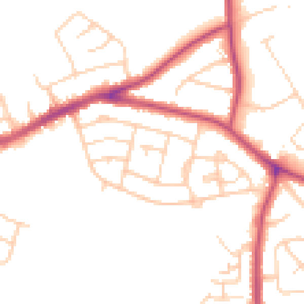
Daytime· 07:00 – 23:00
49.2dB

Night-time· 23:00 – 07:00
40.3dB