7 Dene Place, Sheffield, S13 9DN
About 7 Dene Place
7 Dene Place is a three-bedroom mid-terrace house in Sheffield (S13 9DN). It has a recorded floor area of 109 m² (around 1173 sq ft) and council tax band C. The latest certificate (February 2011) shows a C (score 79), near the top of the C band. The recommended improvements would push it to B (score 81). The latest certificate is from February 2011, so improvements made since then won't be reflected. Other recorded features include a basement.
At 109 m² the property is well over the postcode median (77 m² across 17 EPCs), placing it in the larger end of the local stock. Across 2011–2016, sale prices on this property compounded at 0.9% per year. Today's modelled estimate of £209,000 is 26.7% above the 2016 sale price. On a £-per-square-foot basis, the last sale (£141/sq ft) was about 27% below the postcode norm. 10 years since the last transfer (July 2016).
What this property has
Inside
- Bedrooms3
- BasementYes
Everything you need to know about 7 Dene Place
The true value, the hidden risks and the full sale history, in one report.
30-day money-back guarantee

The data behind every report


Energy performance
7 Dene Place's EPC is over a decade old — improvements since won't be reflected.
EPC Expired
This certificate is over 10 years old and is no longer valid.Expired 08 Feb 2021
EPC Rating
Planning history
7 Dene Place has no planning applications on record.
The full report still covers planning activity across the surrounding area.
Sales history & valuation
£209,000
Modelled from EPC, postcode comparables and a sale-price growth of 0.9% per year over 5 years.
£165,000
Growth on file: 0.9% per year over 5 years.
Sales timeline
19 July 2016Most recent
£165,000
+4.8%over 5 years31 May 2011
£157,495
Median price across the last 5 sales in S13 9DN: £200,000 (2025–2020).
Versus other Dene Place homes
Price per m² for 7 Dene Place lags the street by a wide margin.
Price per m²
£1,514
Street avg £2,176
Floor Area
109 m²
Street avg 88 m²
CO₂ Emissions
2.5 t/year
Street avg 2.3 t/year
Years Held
10 years
Street avg 11 years
Everything you need to know about 7 Dene Place
The true value, the hidden risks and the full sale history, in one report.
30-day money-back guarantee
The data behind every report
Similar properties nearby
1 Flockton Crescent
S13 9QR
1 Ballifield Way
S13 9HY
1 Ballifield Rise
S13 9HU
1 Hail Mary Drive
S13 9XW
1 Coalbrook Grove
S13 9XS
1 Hall Road, Handsworth
S13 9AG
1 Handsworth Grange Close
S13 9HA
1 Furnace Lane
S13 9XA
The neighbourhood at a glance
Crime
6/mo
Steady year-on-year across the wider district.
Nearest stop
0.4 km
Handsworth Road/Richmond Park Road — bus stop.
Closest school
0.7 km
St Joseph's Primary School. 23 schools nearby.
Go deeper on the local area
The full report breaks down crime, transport links, schools and air quality in depth.
Road noise across the postcode
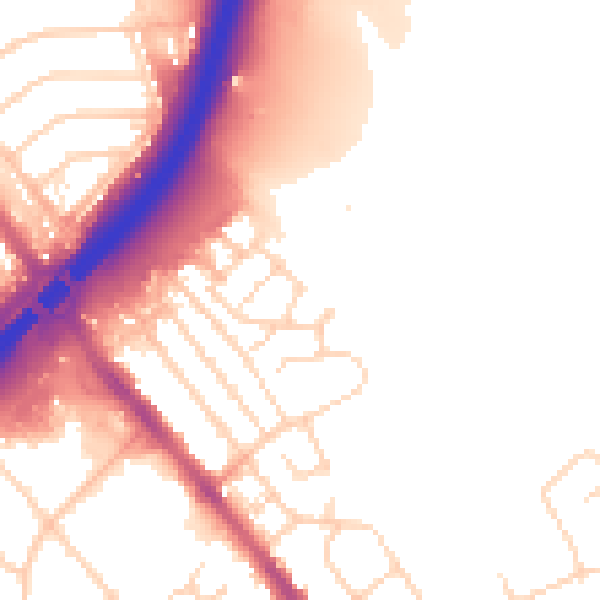
Daytime· 07:00 – 23:00
53.4dB
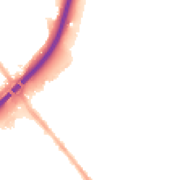
Night-time· 23:00 – 07:00
45.3dB