22 Broad Elms Lane, Sheffield, S11 9RQ
About 22 Broad Elms Lane
22 Broad Elms Lane is a two-bedroom detached house in Sheffield (S11 9RQ). It has a recorded floor area of 274 m² (around 2949 sq ft), construction records dating it to 1930-1949 and council tax band C. The latest certificate (May 2022) shows a C (score 70). The rating has held steady at C across 2 certificates since June 2018. Between certificates, roof efficiency went from Good to Very Good and lighting went from Very Poor to Very Good; while wall efficiency dropped from Good to Poor.
Across 1997–2022, sale prices on this property compounded at 8.9% per year. Today's modelled estimate of £1,053,000 is 12.4% below the 2022 sale of £1,202,022, a rare downward gap that often correlates with deferred maintenance or unfinished works. On a £-per-square-foot basis, the last sale (£408/sq ft) was about 67.3% above the typical sold price in the postcode. At 274 m² the property is well over the postcode median (148 m² across 19 EPCs), placing it in the larger end of the local stock. On energy efficiency it sits in the top 10% of properties in this postcode. 4 planning records sit against the property, 4 approved, 0 refused. Past consents include an extension, meaningful when judging how the property has evolved. Most recent transfer: August 2022 at £1,202,022. That sale was during the post-pandemic price surge, when transactions cleared materially above pre-2020 trend.
Know exactly what you're buying at 22 Broad Elms Lane
Before you offer, see what the listing won't tell you, the true value, the red flags and the full history.
Already flagged here
Launch offer · save £5
Valuation
against the asking price
Risks
planning & flood
Sold prices
similar homes nearby
Trends
the local market
What this property has
Inside
- Bedrooms2
- Bathrooms1
Energy performance
22 Broad Elms Lane ranks among the most efficient homes in the postcode for energy use.
EPC Rating
Property Improvements
Changes detected from historical EPC data
Heating controls upgraded for better temperature management
Roof insulation improved
More low energy lighting installed
Planning history
22 Broad Elms Lane has been through 4 approved planning applications — a well-evolved property.
- Jun 2025ExtensionFullIn report
Extension: Single storey · Side and rear of property
Erection of single-storey side and rear extensions, rear dormer window and first floor window to side of dwellinghouse
- Documents
- 11 docs on file
- Reference
- 25/00886/FUL
- Apr 2024ExtensionFullIn report
Erection of two-storey side extension, single-storey rear/side extension and rear dormer window to dwellinghouse (amended description)
- Documents
- 12 docs on file
- Reference
- 23/03208/FUL
We flagged 1 thing worth checking at 22 Broad Elms Lane
Independent checks surfaced things a buyer would want to understand before offering. The report explains each one in full, with the underlying data and what to ask.
- Larger development activity nearby
30-day money-back guarantee
Sales history & valuation
Latest sale on 22 Broad Elms Lane was the highest on Land Registry record across the postcode.
£1,053,000
Modelled from EPC, postcode comparables and a sale-price growth of 8.9% per year over 25 years.
£1,202,022
Growth on file: 8.9% per year over 25 years.
Sales timeline
11 August 2022Most recent
£1,202,022
+195.3%over 14 years4 January 2008
£407,000
+196.0%over 10 years17 April 1997
£137,500
Median price across the last 5 sales in S11 9RQ: £725,000 (2023–2020).
Nearby sales in S11 9RQ
Everything we know about 22 Broad Elms Lane, in one report
What it's really worth, what could be wrong, and the planning, sales and area data in full.
What we flagged
- Larger development activity nearby

Versus other Broad Elms Lane homes
On epc rating, 22 Broad Elms Lane stands well clear of the street.
Price per m²
£4,387
Street avg £3,344
Floor Area
274 m²
Street avg 162 m²
Habitable Rooms
8 rooms
Street avg 7 rooms
CO₂ Emissions
8.2 t/year
Street avg 8.7 t/year
Similar properties nearby
1 Cherry Tree Close
S11 9AF
1 Cherry Tree Drive
S11 9AE
1 Bannerdale View
S11 9FG
1 Churchside, Union Road
S11 9EJ
1 Alms Hill Crescent
S11 9QZ
1 Carter Knowle Avenue
S11 9FT
1 Brincliffe Hill
S11 9DF
1 Clifford Road
S11 9AQ
The neighbourhood at a glance
Daytime road noise here sits well below conversation level — a quiet pocket of the postcode.
Crime
2/mo
Steady year-on-year across the wider district.
Nearest stop
0.2 km
Bents Road/Broad Elms Lane — bus stop.
Closest school
0.4 km
Silverdale School. 22 schools nearby.
Go deeper on the local area
The full report breaks down crime, transport links, schools and air quality in depth.
Road noise across the postcode
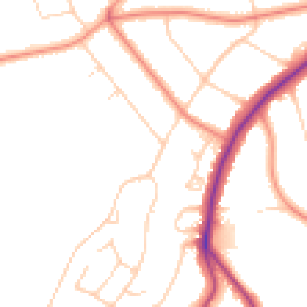
Daytime· 07:00 – 23:00
48.0dB

Night-time· 23:00 – 07:00
39.5dB