26 Burnt Stones Drive, Sheffield, S10 5TT
About 26 Burnt Stones Drive
26 Burnt Stones Drive is a detached house in Sheffield (S10 5TT). It has a recorded floor area of 199 m² (around 2142 sq ft), construction records dating it to 1950-1966 and council tax band F. The latest certificate (March 2024) shows a C (score 71).
At 199 m² the property is well over the postcode median (135 m² across 17 EPCs), placing it in the larger end of the local stock. Its energy rating outperforms most of the postcode (better than 82% of similar EPCs). 2 planning records sit against the property, 2 approved, 0 refused. Past consents include an extension, meaningful when judging how the property has evolved. On a £-per-square-foot basis, the last sale (£418/sq ft) was about 62.9% above the typical sold price in the postcode. Last sale on file: £895,000 in November 2024.
Everything you need to know about 26 Burnt Stones Drive
The true value, the hidden risks and the full sale history, in one report.
Pick your report · every report is £14.99
One time fee only - money back guarantee

The data behind every report


Energy performance
26 Burnt Stones Drive's carbon output runs well above what efficient homes in the postcode produce.
EPC Rating
Get a survey for this property
Level 3 Building Survey
Because the property has been extended more than once, we believe a Level 3 building survey should be considered.
From £1,495 · Includes VAT
Planning history
2 applications on record at 26 Burnt Stones Drive, Sheffield, S10 5TT
- Apr 2015ExtensionFullOutcome in report
Alterations and extensions to dwellinghouse including two-storey front and side extensions, single-storey front extension, provision of rear juliet balconies and raising height of roof
- Documents
- 21 docs on file
- Reference
- 15/00273/FUL
- More recent applications — locked
- ExtensionJul 2015Decision
Unlock 26 Burnt Stones Drive, Sheffield, S10 5TT's full planning history
You're seeing the shape of it. The report has the substance.
- Every decision — granted, refused or withdrawn (2 on record)
- All 2 applications on this property in full, plus 2 notable nearby
- The 39 documents, officer reports & conditions
- What the pattern means for extending or converting here
One time fee only - money back guarantee
Sales history & valuation
Latest sale on 26 Burnt Stones Drive was the highest on Land Registry record across the postcode.
£945,000
Modelled from EPC, postcode comparables.
£895,000
Recorded with HM Land Registry.
Sales timeline
29 November 2024Most recent
£895,000
Median price across the last 5 sales in S10 5TT: £475,000 (2024–2020).
Nearby sales in S10 5TT
25 Burnt Stones Drive, Sheffield, S10 5TT
Sold Jul 2024
£565,0005 Burnt Stones Drive, Sheffield, S10 5TT
Sold Jun 2024
£575,00033 Burnt Stones Drive, Sheffield, S10 5TT
Sold Nov 2021
£475,00014 Burnt Stones Drive, Sheffield, S10 5TT
Sold Jan 2020
£450,00037 Burnt Stones Drive, Sheffield, S10 5TT
Sold Dec 2018
£440,000
Versus other Burnt Stones Drive homes
26 Burnt Stones Drive is notably below the street on years held.
Price per m²
£4,497
Street avg £2,728
Floor Area
199 m²
Street avg 149 m²
Habitable Rooms
7 rooms
Street avg 6 rooms
CO₂ Emissions
6.7 t/year
Street avg 6.9 t/year
Everything you need to know about 26 Burnt Stones Drive
The true value, the hidden risks and the full sale history, in one report.
Pick your report · every report is £14.99
One time fee only - money back guarantee
The data behind every report
Similar properties nearby
The neighbourhood at a glance
Daytime road noise here sits well below conversation level — a quiet pocket of the postcode.
Crime
4/mo
Steady year-on-year across the wider district.
Nearest stop
0.4 km
Redmires Road/Pitchford Lane — bus stop.
Closest school
0.6 km
Hallam Primary School. 21 schools nearby.
Go deeper on the local area
A Local Area report breaks down crime, transport links, schools and air quality in depth.
Road noise across the postcode
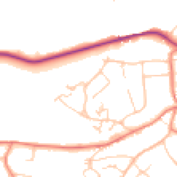
Daytime· 07:00 – 23:00
49.6dB

Night-time· 23:00 – 07:00
40.4dB