39 Cairns Road, Sheffield, S10 5NA
About 39 Cairns Road
39 Cairns Road is a three-bedroom semi-detached house in Sheffield (S10 5NA). It has a recorded floor area of 112 m² (around 1206 sq ft), construction records dating it to 1930-1949 and council tax band C. The latest certificate (May 2021) shows a D (score 68), on the cusp of jumping into the C band. The recommended improvements would lift it to B (score 83), a 2-band jump. Other recorded features include a loft.
2 planning records sit against the property, 2 approved, 0 refused. Past consents include a loft conversion and an extension, meaningful when judging how the property has evolved. Across 2001–2022, sale prices on this property compounded at 7.4% per year. On a £-per-square-foot basis, the last sale (£401/sq ft) was about 100.9% above the typical sold price in the postcode. Last sale on file: £483,000 in January 2022. That sale was during the post-pandemic price surge, when transactions cleared materially above pre-2020 trend.
What this property has
Inside
- Bedrooms3
- Bathrooms2
- Dining roomYes
- Utility roomYes
- EnsuiteYes
- LoftYes
Everything you need to know about 39 Cairns Road
The true value, the hidden risks and the full sale history, in one report.
Pick your report · every report is £14.99
One time fee only - money back guarantee

The data behind every report


Energy performance
Recommended upgrades on file would lift this property by multiple EPC bands.
EPC Rating
Get a survey for this property
Level 2 HomeBuyer Report
We've checked 10 risk factors against the available data for this property and believe a Level 2 HomeBuyer Report could be a suitable option for you.
From £795 · Includes VAT
Planning history
Planning history includes both a loft conversion and an extension — the classic family-home expansion.
2 applications on record at 39 Cairns Road, Sheffield, S10 5NA
- Sept 2015ExtensionOutlineOutcome in report
Extension: Single storey · Rear of property
Single-storey rear extension - the extension is 4.25 metres from the rear of the original dwellinghouse, ridge height no more than 3.4 metres and height to the eaves of 2.6 metres
- Documents
- 6 docs on file
- Reference
- 15/03159/HPN
- More recent applications — locked
- Loft ConversionFeb 2024Decision
Unlock 39 Cairns Road, Sheffield, S10 5NA's full planning history
You're seeing the shape of it. The report has the substance.
- Every decision — granted, refused or withdrawn (2 on record)
- All 2 applications on this property in full, plus 2 notable nearby
- The 13 documents, officer reports & conditions
- What the pattern means for extending or converting here
One time fee only - money back guarantee
Sales history & valuation
Price for 39 Cairns Road has grown more than fourfold since the 2001 starting point.
£524,000
Modelled from EPC, postcode comparables and a sale-price growth of 7.4% per year over 20 years.
£483,000
Growth on file: 7.4% per year over 20 years.
Sales timeline
26 January 2022Most recent
£483,000
+335.1%over 20 years9 August 2001
£111,000
Median price across the last 5 sales in S10 5NA: £440,000 (2024–2021).
Versus other Cairns Road homes
On epc rating, 39 Cairns Road stands well clear of the street.
Price per m²
£4,313
Street avg £2,958
Floor Area
112 m²
Street avg 122 m²
Habitable Rooms
5 rooms
Street avg 6 rooms
CO₂ Emissions
4.6 t/year
Street avg 5.9 t/year
Everything you need to know about 39 Cairns Road
The true value, the hidden risks and the full sale history, in one report.
Pick your report · every report is £14.99
One time fee only - money back guarantee
The data behind every report
Similar properties nearby
1 Chesterwood Drive
S10 5DU
1 Coldwell Lane
S10 5TJ
1 Den Bank Avenue
S10 5NZ
1 Den Bank Drive
S10 5PE
1 Cardoness Drive
S10 5RW
1 Cairns Road
S10 5NA
1 Hallamshire View
S10 5ST
1 Den Bank Close
S10 5PA
The neighbourhood at a glance
Daytime road noise here sits well below conversation level — a quiet pocket of the postcode.
Crime
4/mo
Steady year-on-year across the wider district.
Nearest stop
0.1 km
Sandygate Road/Selborne Road — bus stop.
Closest school
0.3 km
Lydgate Junior School. 29 schools nearby.
Go deeper on the local area
A Local Area report breaks down crime, transport links, schools and air quality in depth.
Road noise across the postcode
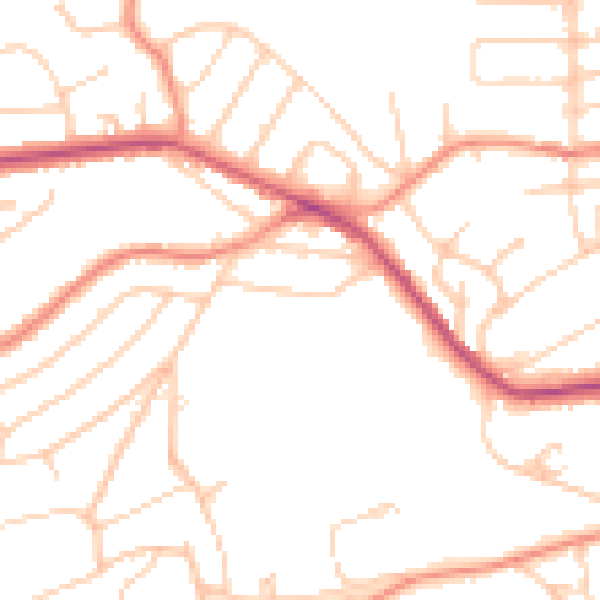
Daytime· 07:00 – 23:00
49.1dB

Night-time· 23:00 – 07:00
39.0dB